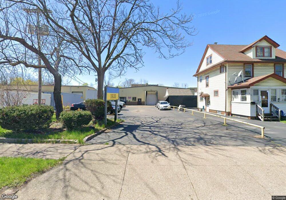
1633 N Clinton Ave Rochester, NY 14621
Northeast Rochester NeighborhoodEstimated Value: $341,938
--
Bed
--
Bath
11,995
Sq Ft
$29/Sq Ft
Est. Value
About This Home
This home is located at 1633 N Clinton Ave, Rochester, NY 14621 and is currently estimated at $341,938, approximately $28 per square foot. 1633 N Clinton Ave is a home located in Monroe County with nearby schools including School 9-DR Martin Luther King Jr, School 8-Roberto Clemente, and School 39-Andrew J. Townson.
Ownership History
Date
Name
Owned For
Owner Type
Purchase Details
Closed on
Apr 14, 2014
Sold by
Liwush Alan and Liwush Richard
Bought by
Smy Properties Llc
Current Estimated Value
Home Financials for this Owner
Home Financials are based on the most recent Mortgage that was taken out on this home.
Original Mortgage
$115,000
Interest Rate
5%
Mortgage Type
Commercial
Purchase Details
Closed on
Dec 30, 1999
Sold by
Estate Liwush Kathryn
Bought by
Liwush Alan
Create a Home Valuation Report for This Property
The Home Valuation Report is an in-depth analysis detailing your home's value as well as a comparison with similar homes in the area
Home Values in the Area
Average Home Value in this Area
Purchase History
| Date | Buyer | Sale Price | Title Company |
|---|---|---|---|
| Smy Properties Llc | $155,000 | Chicago Title Insurance Co | |
| Liwush Alan | -- | Robert F Oconnell |
Source: Public Records
Mortgage History
| Date | Status | Borrower | Loan Amount |
|---|---|---|---|
| Closed | Smy Properties Llc | $115,000 |
Source: Public Records
Tax History Compared to Growth
Tax History
| Year | Tax Paid | Tax Assessment Tax Assessment Total Assessment is a certain percentage of the fair market value that is determined by local assessors to be the total taxable value of land and additions on the property. | Land | Improvement |
|---|---|---|---|---|
| 2024 | $2,062 | $240,000 | $50,600 | $189,400 |
| 2023 | $2,113 | $165,000 | $50,600 | $114,400 |
| 2022 | $1,924 | $165,000 | $50,600 | $114,400 |
| 2021 | $1,938 | $165,000 | $50,600 | $114,400 |
| 2020 | $2,118 | $165,000 | $50,600 | $114,400 |
| 2019 | $2,011 | $165,000 | $50,600 | $114,400 |
| 2018 | $6,958 | $165,000 | $50,600 | $114,400 |
| 2017 | $0 | $165,000 | $50,600 | $114,400 |
| 2016 | $2,011 | $165,000 | $50,600 | $114,400 |
| 2015 | $7,295 | $165,000 | $50,600 | $114,400 |
| 2014 | $7,295 | $165,000 | $50,600 | $114,400 |
Source: Public Records
Map
Nearby Homes
- 330 & 336 Norton St
- 36 Nye Park Unit 38
- 431-433 Hollenbeck St Unit 2
- 24 Nye Park
- 21 Nye Pkwy
- 226-228 Norton St
- 1845 N Clinton Ave
- 24 Whittier Park
- 15 Argonne St
- 232 Townsend St
- 10 Emanon St
- 27-29 Trenaman St
- 155 Norton St
- 1737-1739 Saint Paul St
- 334 E Ridge Rd
- 585-587 Conkey Ave
- 68 Weaver St
- 27-29 Weaver St
- 39 Townsend St
- 32 van Stallen St
- 1637 N Clinton Ave
- 1625 N Clinton Ave
- 1613 N Clinton Ave
- 1651 N Clinton Ave Unit 1653
- 1607 N Clinton Ave
- 1599 N Clinton Ave
- 1665 N Clinton Ave
- 18 Darrow St Unit 20
- 26 Darrow St
- 1628 N Clinton Ave
- 79 Resolute St
- 79 Resolute St
- 10 Darrow St
- 1589 N Clinton Ave
- 17 Resolute St
- 1577 N Clinton Ave
- 25 Resolute St
- 13 Darrow St Unit 15
- 19 Darrow St
- 25 Darrow St