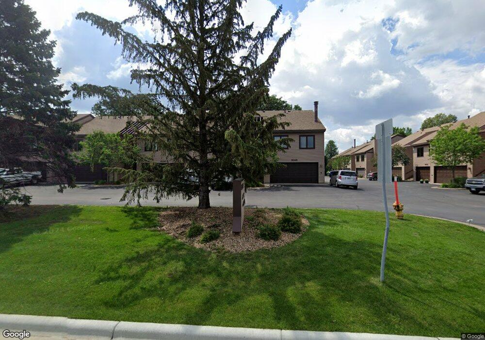
1636 Cope Ave E Saint Paul, MN 55109
Hazelwood NeighborhoodEstimated Value: $242,000 - $276,000
2
Beds
2
Baths
1,009
Sq Ft
$252/Sq Ft
Est. Value
About This Home
This home is located at 1636 Cope Ave E, Saint Paul, MN 55109 and is currently estimated at $254,151, approximately $251 per square foot. 1636 Cope Ave E is a home located in Ramsey County with nearby schools including Richardson Elementary School and John Glenn Middle School.
Ownership History
Date
Name
Owned For
Owner Type
Purchase Details
Closed on
Sep 21, 2018
Sold by
Amundson Joseph
Bought by
Daniels Benjamin Matthew
Current Estimated Value
Home Financials for this Owner
Home Financials are based on the most recent Mortgage that was taken out on this home.
Original Mortgage
$204,250
Outstanding Balance
$177,751
Interest Rate
4.5%
Estimated Equity
$76,400
Purchase Details
Closed on
Aug 17, 2015
Sold by
Markus Candace M
Bought by
Markus Candace M and The Candace M Markus Revocable Living Tr
Create a Home Valuation Report for This Property
The Home Valuation Report is an in-depth analysis detailing your home's value as well as a comparison with similar homes in the area
Home Values in the Area
Average Home Value in this Area
Purchase History
| Date | Buyer | Sale Price | Title Company |
|---|---|---|---|
| Daniels Benjamin Matthew | $215,000 | Burnet Title | |
| Markus Candace M | $515 | Attorney |
Source: Public Records
Mortgage History
| Date | Status | Borrower | Loan Amount |
|---|---|---|---|
| Open | Daniels Benjamin Matthew | $204,250 |
Source: Public Records
Tax History Compared to Growth
Tax History
| Year | Tax Paid | Tax Assessment Tax Assessment Total Assessment is a certain percentage of the fair market value that is determined by local assessors to be the total taxable value of land and additions on the property. | Land | Improvement |
|---|---|---|---|---|
| 2025 | $2,914 | $252,600 | $50,000 | $202,600 |
| 2023 | $2,914 | $219,800 | $50,000 | $169,800 |
| 2022 | $2,506 | $218,100 | $50,000 | $168,100 |
| 2021 | $2,314 | $184,900 | $50,000 | $134,900 |
| 2020 | $2,114 | $176,100 | $50,000 | $126,100 |
| 2019 | $1,744 | $154,200 | $29,000 | $125,200 |
| 2018 | $1,798 | $134,100 | $29,000 | $105,100 |
| 2017 | $1,902 | $134,100 | $29,000 | $105,100 |
| 2016 | $1,316 | $0 | $0 | $0 |
| 2015 | $1,452 | $103,500 | $29,000 | $74,500 |
| 2014 | $1,032 | $0 | $0 | $0 |
Source: Public Records
Map
Nearby Homes
- 2420 Hazelwood St
- 1666 Laurie Rd E
- 1496 Laurie Rd E
- 1509 Sandhurst Ave E
- 2554 Bittersweet Ln
- 1467 County Road B E
- 1995 11th Ave E Unit 2
- 1995 11th Ave E Unit 1
- 1984 Prosperity Rd
- 2175 German St
- 1937 Flandrau St
- 1247 Lealand Rd E
- 1940 Barclay St
- 2193 Jennifer Ct
- 1849 Kennard St
- 1856 Flandrau St
- 1854 Barclay St
- 1869 Birmingham St
- 2054 Shryer Ct E
- 1870 Clarence St
- 1596 Grandview Ave E
- 1595 Viking Dr E
- 1595 Grandview Ave E
- 1639 Gervais Ave
- 1631 Gervais Ave
- 1588 Grandview Ave E
- 1645 Gervais Ave
- 1623 Gervais Ave
- 2411 Kennard St
- 1596 Gervais Ave
- 1615 Gervais Ave
- 1583 Viking Dr E
- 1587 Grandview Ave E
- 2410 Germain St
- 1580 Grandview Ave E
- 1588 Gervais Ave
- 1579 Grandview Ave E
- 1640 Sextant Ave E
- 1632 Sextant Ave E
- 1632 1632 Sextant-Avenue-e