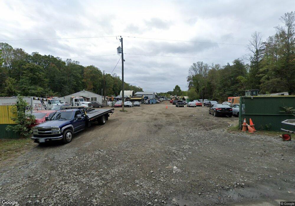
164 Norman Rd Stafford, VA 22554
Aquia Harbour Neighborhood
--
Bed
--
Bath
126
Sq Ft
12.91
Acres
About This Home
This home is located at 164 Norman Rd, Stafford, VA 22554. 164 Norman Rd is a home located in Stafford County with nearby schools including Widewater Elementary School, Shirley C. Heim Middle School, and Brooke Point High School.
Ownership History
Date
Name
Owned For
Owner Type
Purchase Details
Closed on
Mar 6, 2006
Sold by
A & J Farms Inc
Bought by
D G F Land Company L L C
Home Financials for this Owner
Home Financials are based on the most recent Mortgage that was taken out on this home.
Original Mortgage
$665,000
Outstanding Balance
$375,386
Interest Rate
6.15%
Mortgage Type
Commercial
Purchase Details
Closed on
May 3, 2005
Sold by
Banks Cardell
Bought by
Dgf Land Co L L C
Create a Home Valuation Report for This Property
The Home Valuation Report is an in-depth analysis detailing your home's value as well as a comparison with similar homes in the area
Home Values in the Area
Average Home Value in this Area
Purchase History
| Date | Buyer | Sale Price | Title Company |
|---|---|---|---|
| D G F Land Company L L C | $540,000 | -- | |
| Dgf Land Co L L C | $735,000 | -- |
Source: Public Records
Mortgage History
| Date | Status | Borrower | Loan Amount |
|---|---|---|---|
| Open | D G F Land Company L L C | $665,000 |
Source: Public Records
Tax History Compared to Growth
Tax History
| Year | Tax Paid | Tax Assessment Tax Assessment Total Assessment is a certain percentage of the fair market value that is determined by local assessors to be the total taxable value of land and additions on the property. | Land | Improvement |
|---|---|---|---|---|
| 2025 | $10,197 | $1,124,600 | $1,124,600 | -- |
| 2024 | $10,197 | $1,124,600 | $1,124,600 | $0 |
| 2023 | $9,299 | $984,000 | $984,000 | $0 |
| 2022 | $8,364 | $984,000 | $984,000 | $0 |
| 2021 | $8,181 | $843,400 | $843,400 | $0 |
| 2020 | $8,181 | $843,400 | $843,400 | $0 |
| 2019 | $7,099 | $702,900 | $702,900 | $0 |
| 2018 | $6,959 | $702,900 | $702,900 | $0 |
| 2017 | $6,959 | $702,900 | $702,900 | $0 |
| 2016 | $6,959 | $702,900 | $702,900 | $0 |
| 2015 | -- | $702,900 | $702,900 | $0 |
| 2014 | -- | $702,900 | $702,900 | $0 |
Source: Public Records
Map
Nearby Homes
- 201 Bulkhead Cove
- 2425 Harpoon Dr
- 2409 Harpoon Dr
- 2008 Coast Guard Dr
- 2452 Harpoon Dr
- 2320 Harpoon Dr
- 464 Decatur Rd
- 2016 Coast Guard Dr
- 202 Sail Cove
- 8 William And Mary Ln
- 1 William And Mary Ln
- 0 Decatur Rd Unit VAST2043872
- 0 Decatur Rd Unit VAST2027148
- 2228 Aquia Dr
- 0 William And Mary Ln
- 2018 Buoy Dr
- 3203 Titanic Dr
- 2005 Farragut Dr
- 2018 Farragut Dr
- 0 Brent Point Rd Unit VAST2040064
- 182 Norman Rd
- 192 Norman Rd
- 158 Norman Rd
- 270 Norman Rd
- 194 Norman Rd
- 198 Norman Rd
- 204 Norman Rd
- 212 Norman Rd
- 216 Norman Rd
- 213 Lighthouse Cove
- 211 Lighthouse Cove
- 209 Lighthouse Cove
- 134 Norman Rd
- 220 Norman Rd
- 207 Lighthouse Cove
- 205 Lighthouse Cove
- 200 Bulkhead Cove
- 202 Bulkhead Cove
- 208 Lighthouse Cove
- 228 Norman Rd