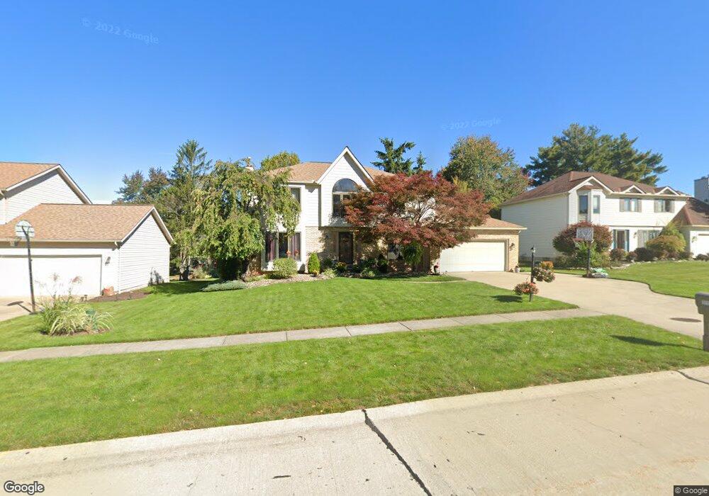
16434 Acacia Dr Strongsville, OH 44136
Estimated Value: $395,000 - $469,000
3
Beds
3
Baths
2,474
Sq Ft
$172/Sq Ft
Est. Value
About This Home
This home is located at 16434 Acacia Dr, Strongsville, OH 44136 and is currently estimated at $425,244, approximately $171 per square foot. 16434 Acacia Dr is a home located in Cuyahoga County with nearby schools including Strongsville High School.
Ownership History
Date
Name
Owned For
Owner Type
Purchase Details
Closed on
May 7, 2007
Sold by
Nesbit Gordon S and Nesbit Karrie S
Bought by
Uhas Scott A and Uhas Michelle R
Current Estimated Value
Home Financials for this Owner
Home Financials are based on the most recent Mortgage that was taken out on this home.
Original Mortgage
$25,400
Interest Rate
5.94%
Mortgage Type
Unknown
Purchase Details
Closed on
Dec 19, 2002
Sold by
Spann Anthony H and Spann Lisa M
Bought by
Nesbit Gordon S and Nesbit Karrie S
Home Financials for this Owner
Home Financials are based on the most recent Mortgage that was taken out on this home.
Original Mortgage
$226,542
Interest Rate
6.23%
Purchase Details
Closed on
Feb 4, 1992
Bought by
Spann Anthony H
Purchase Details
Closed on
Jun 24, 1991
Bought by
Pepperwood Homes, Inc.
Purchase Details
Closed on
Jan 1, 1990
Bought by
Pepperwood Dev Corp
Create a Home Valuation Report for This Property
The Home Valuation Report is an in-depth analysis detailing your home's value as well as a comparison with similar homes in the area
Home Values in the Area
Average Home Value in this Area
Purchase History
| Date | Buyer | Sale Price | Title Company |
|---|---|---|---|
| Uhas Scott A | $254,000 | Executive Title Agency | |
| Nesbit Gordon S | $238,000 | Chicago Title Insurance Co | |
| Spann Anthony H | $175,300 | -- | |
| Pepperwood Homes, Inc. | -- | -- | |
| Pepperwood Dev Corp | -- | -- |
Source: Public Records
Mortgage History
| Date | Status | Borrower | Loan Amount |
|---|---|---|---|
| Closed | Uhas Scott A | $25,400 | |
| Open | Uhas Scott A | $203,200 | |
| Closed | Nesbit Gordon S | $226,542 |
Source: Public Records
Tax History Compared to Growth
Tax History
| Year | Tax Paid | Tax Assessment Tax Assessment Total Assessment is a certain percentage of the fair market value that is determined by local assessors to be the total taxable value of land and additions on the property. | Land | Improvement |
|---|---|---|---|---|
| 2024 | $5,811 | $123,760 | $28,000 | $95,760 |
| 2023 | $6,097 | $97,370 | $23,380 | $73,990 |
| 2022 | $6,053 | $97,370 | $23,380 | $73,990 |
| 2021 | $6,005 | $97,370 | $23,380 | $73,990 |
| 2020 | $6,171 | $88,520 | $21,250 | $67,270 |
| 2019 | $5,990 | $252,900 | $60,700 | $192,200 |
| 2018 | $5,311 | $88,520 | $21,250 | $67,270 |
| 2017 | $5,283 | $79,630 | $16,380 | $63,250 |
| 2016 | $5,240 | $79,630 | $16,380 | $63,250 |
| 2015 | $5,314 | $79,630 | $16,380 | $63,250 |
| 2014 | $5,314 | $79,630 | $16,380 | $63,250 |
Source: Public Records
Map
Nearby Homes
- 18229 Howe Rd
- 16486 S Red Rock Dr
- 17130 Golden Star Dr
- 16711 Beech Cir
- 17159 Turkey Meadow Ln
- 19694 Benbow Rd
- 14985 Camden Cir
- 3550 Boston Rd
- 15604-REAR Boston Rd
- 17682 Drake Rd
- 16650 Lanier Ave
- 19740 Benbow Rd
- 18987 Laurell Cir
- 17024 Bear Creek Ln
- 15188 Trails Landing
- 97 Weathervane Ln
- 16450 Howe Rd
- 18411 Yorktown Oval
- 17934 Cambridge Oval
- 18294 Drake Rd
- 16392 Acacia Dr
- 16478 Acacia Dr
- 17187 Golden Star Dr
- 16348 Acacia Dr
- 17179 Golden Star Dr
- 16443 Acacia Dr
- 16401 Acacia Dr
- 16304 Acacia Dr
- 18328 Fern Canyon Dr
- 16485 Acacia Dr
- 18336 Fern Canyon Dr
- 16359 Acacia Dr
- 17173 Golden Star Dr
- 17274 Golden Star Dr
- 17232 Golden Star Dr
- 17190 Golden Star Dr
- 16260 Acacia Dr
- 17316 Golden Star Dr
- 16527 Acacia Dr
- 17171 Golden Star Dr