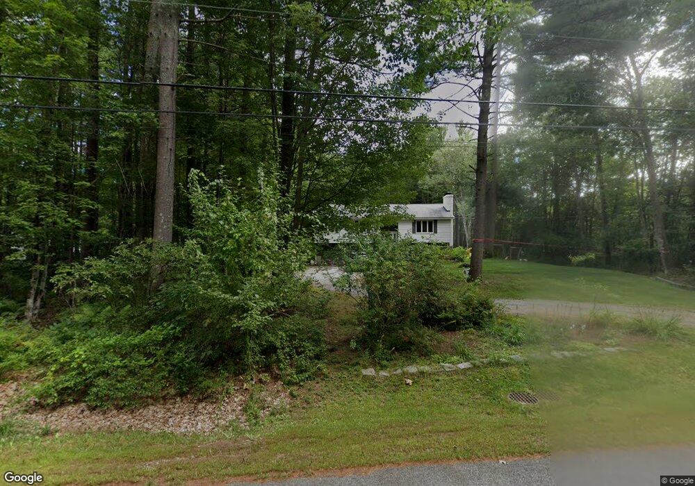
165 Governor Hill Rd Eliot, ME 03903
South Eliot NeighborhoodEstimated Value: $554,912 - $710,000
3
Beds
2
Baths
1,908
Sq Ft
$319/Sq Ft
Est. Value
About This Home
This home is located at 165 Governor Hill Rd, Eliot, ME 03903 and is currently estimated at $608,978, approximately $319 per square foot. 165 Governor Hill Rd is a home located in York County with nearby schools including Marshwood High School and Seacoast Waldorf School.
Ownership History
Date
Name
Owned For
Owner Type
Purchase Details
Closed on
Nov 10, 2025
Sold by
Foster Patricia I
Bought by
Foster Kevin T
Current Estimated Value
Purchase Details
Closed on
May 28, 2009
Sold by
Zachko Andrew L
Bought by
Foster Patricia I and Foster Kevin P
Home Financials for this Owner
Home Financials are based on the most recent Mortgage that was taken out on this home.
Original Mortgage
$249,850
Interest Rate
4.87%
Mortgage Type
FHA
Create a Home Valuation Report for This Property
The Home Valuation Report is an in-depth analysis detailing your home's value as well as a comparison with similar homes in the area
Home Values in the Area
Average Home Value in this Area
Purchase History
| Date | Buyer | Sale Price | Title Company |
|---|---|---|---|
| Foster Kevin T | -- | -- | |
| Foster Patricia I | -- | -- |
Source: Public Records
Mortgage History
| Date | Status | Borrower | Loan Amount |
|---|---|---|---|
| Previous Owner | Foster Patricia I | $249,850 |
Source: Public Records
Tax History Compared to Growth
Tax History
| Year | Tax Paid | Tax Assessment Tax Assessment Total Assessment is a certain percentage of the fair market value that is determined by local assessors to be the total taxable value of land and additions on the property. | Land | Improvement |
|---|---|---|---|---|
| 2024 | $4,544 | $383,500 | $147,000 | $236,500 |
| 2023 | $4,387 | $358,100 | $140,600 | $217,500 |
| 2022 | $4,218 | $348,600 | $140,600 | $208,000 |
| 2021 | $3,644 | $293,700 | $119,300 | $174,400 |
| 2020 | $3,987 | $271,200 | $113,900 | $157,300 |
| 2019 | $3,987 | $271,200 | $113,900 | $157,300 |
| 2018 | $3,899 | $271,200 | $113,900 | $157,300 |
| 2017 | $2,869 | $271,200 | $113,900 | $157,300 |
| 2016 | $3,810 | $271,200 | $113,900 | $157,300 |
| 2015 | $3,797 | $271,200 | $113,900 | $157,300 |
| 2014 | $3,625 | $262,700 | $113,900 | $148,800 |
| 2013 | $3,460 | $262,700 | $113,900 | $148,800 |
Source: Public Records
Map
Nearby Homes
- 18 Governor Hill Rd
- 1708 State Rd
- 708 River Rd Unit 3
- 708 River Rd Unit 2
- 0 Cote Dr
- Slip B18 Little Bay
- 27 Wentworth Terrace
- 33 Little Bay Dr
- 25 Shore Ln
- 18 Little Bay Dr
- 41 Clearwater Dr
- TBD Cedar Rd
- 4 Shore Ln
- Lot 1 Cedar Tbd
- 25 Fosters Dr
- Lot 2 Cedar Tbd
- SLIP 15 Little Bay Marina
- 10 Broadfields Rd
- 71 Shipwright Way
- 34 Imperial Dr
- 157 Governor Hill Rd
- 63 Governor Hill Rd
- 175 Governor Hill Rd
- 1 Dragonfly Dr
- 172 Governor Hill Rd
- 61 Governor Hill Rd
- 147 Governor Hill Rd
- 185 Governor Hill Rd
- 184 Governor Hill Rd
- 57 Governor Hill Rd
- 191 Governor Hill Rd
- 17 Valley Rd
- 135 Governor Hill Rd
- 55 Governor Hill Rd
- 0 Governor Hill Rd
- 192 Governor Hill Rd
- 36 Creekview Dr Unit 8
- 36 Creekview Dr
- 36 Creekview Drive (Lot 8)
- 199 Governor Hill Rd