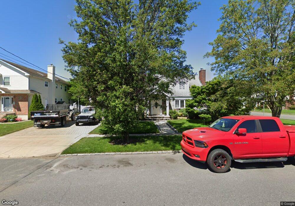
165 Mayfair Ave West Hempstead, NY 11552
Estimated Value: $755,000 - $756,105
--
Bed
2
Baths
1,705
Sq Ft
$443/Sq Ft
Est. Value
About This Home
This home is located at 165 Mayfair Ave, West Hempstead, NY 11552 and is currently estimated at $755,553, approximately $443 per square foot. 165 Mayfair Ave is a home located in Nassau County with nearby schools including Chestnut Street School, West Hempstead Secondary School, and The Waldorf School of Garden City.
Ownership History
Date
Name
Owned For
Owner Type
Purchase Details
Closed on
Jan 18, 2005
Sold by
Nakhaimousa Shahram
Bought by
Esteves Mariana
Current Estimated Value
Purchase Details
Closed on
Mar 23, 2004
Sold by
Militana Mark
Bought by
Nakhaimousa Shahram
Purchase Details
Closed on
Feb 3, 2003
Sold by
Reaccuglia Andrew
Bought by
Militana Mark
Purchase Details
Closed on
Jul 18, 2000
Sold by
Sudmann Henry
Bought by
Reaccuglia Andrew
Create a Home Valuation Report for This Property
The Home Valuation Report is an in-depth analysis detailing your home's value as well as a comparison with similar homes in the area
Home Values in the Area
Average Home Value in this Area
Purchase History
| Date | Buyer | Sale Price | Title Company |
|---|---|---|---|
| Esteves Mariana | $445,000 | -- | |
| Nakhaimousa Shahram | $410,000 | -- | |
| Militana Mark | $30,000 | -- | |
| Militana Mark | $320,000 | -- | |
| Reaccuglia Andrew | $269,000 | -- | |
| Militana Fred | $30,000 | -- |
Source: Public Records
Tax History Compared to Growth
Tax History
| Year | Tax Paid | Tax Assessment Tax Assessment Total Assessment is a certain percentage of the fair market value that is determined by local assessors to be the total taxable value of land and additions on the property. | Land | Improvement |
|---|---|---|---|---|
| 2025 | $15,741 | $583 | $317 | $266 |
| 2024 | $5,398 | $583 | $317 | $266 |
| 2023 | $13,640 | $583 | $317 | $266 |
| 2022 | $13,640 | $583 | $317 | $266 |
| 2021 | $17,629 | $557 | $303 | $254 |
| 2020 | $12,647 | $695 | $467 | $228 |
| 2019 | $11,507 | $695 | $467 | $228 |
| 2018 | $10,723 | $695 | $0 | $0 |
| 2017 | $6,049 | $695 | $467 | $228 |
| 2016 | $9,520 | $695 | $467 | $228 |
| 2015 | $3,237 | $695 | $416 | $279 |
| 2014 | $3,237 | $695 | $416 | $279 |
| 2013 | $3,030 | $695 | $416 | $279 |
Source: Public Records
Map
Nearby Homes
- 169 Mayfair Ave
- 221 Hamilton Ave
- 153 Mayfair Ave
- 227 Hamilton Ave
- 145 Mayfair Ave
- 222 Grand Ave
- 170 Mayfair Ave
- 173 Mayfair Ave
- 164 Mayfair Ave
- 220 Hamilton Ave
- 210 Grand Ave
- 220 Grand Ave
- 233 Hamilton Ave
- 226 Hamilton Ave
- 227 Groton Place
- 152 Mayfair Ave
- 232 Grand Ave
- 232 Hamilton Ave
- 239 Hamilton Ave
- 180 Mayfair Ave