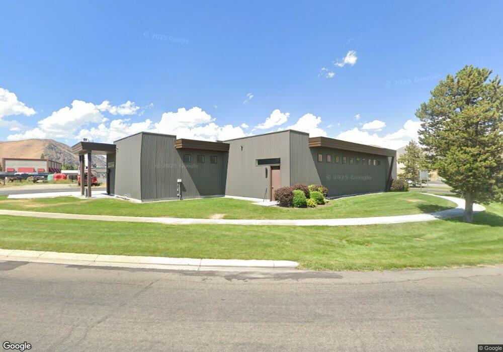
1654 Aviation Dr Hailey, ID 83333
Estimated Value: $2,759,331
--
Bed
1
Bath
4,896
Sq Ft
$564/Sq Ft
Est. Value
About This Home
This home is located at 1654 Aviation Dr, Hailey, ID 83333 and is currently estimated at $2,759,331, approximately $563 per square foot. 1654 Aviation Dr is a home located in Blaine County with nearby schools including Syringa Mountain School and The Sage School.
Ownership History
Date
Name
Owned For
Owner Type
Purchase Details
Closed on
May 7, 2025
Sold by
S4 Capital Llc
Bought by
Plane Site Llc
Current Estimated Value
Purchase Details
Closed on
Jul 25, 2022
Sold by
Stonefly Llc
Bought by
S4 Capital Llc
Purchase Details
Closed on
Mar 20, 2019
Sold by
Ferguson Christine Frances
Bought by
Stonefly Llc
Purchase Details
Closed on
Oct 12, 2018
Sold by
Ferguson Christine Frances
Bought by
Ferguson Christine Frances and Revocable Trust Of Christine Frances Fer
Create a Home Valuation Report for This Property
The Home Valuation Report is an in-depth analysis detailing your home's value as well as a comparison with similar homes in the area
Home Values in the Area
Average Home Value in this Area
Purchase History
| Date | Buyer | Sale Price | Title Company |
|---|---|---|---|
| Plane Site Llc | -- | Sun Valley Title | |
| S4 Capital Llc | -- | Blaine County Title | |
| Stonefly Llc | -- | Titleone Twin Falls | |
| Ferguson Christine Frances | -- | None Available |
Source: Public Records
Tax History Compared to Growth
Tax History
| Year | Tax Paid | Tax Assessment Tax Assessment Total Assessment is a certain percentage of the fair market value that is determined by local assessors to be the total taxable value of land and additions on the property. | Land | Improvement |
|---|---|---|---|---|
| 2024 | $6,072 | $1,537,498 | $442,464 | $1,095,034 |
| 2023 | $5,865 | $1,437,952 | $442,467 | $995,485 |
| 2022 | $4,384 | $997,416 | $231,658 | $765,758 |
| 2021 | $4,981 | $900,298 | $193,048 | $707,250 |
| 2020 | $1,063 | $160,873 | $160,873 | $0 |
| 2019 | $1,205 | $153,212 | $0 | $0 |
| 2018 | $1,270 | $153,212 | $0 | $0 |
| 2017 | $1,249 | $136,796 | $0 | $0 |
| 2016 | $818 | $87,662 | $0 | $0 |
| 2013 | -- | $121,596 | $0 | $0 |
Source: Public Records
Map
Nearby Homes
- 1600 Red Feather Way
- 1371 Silver Star Dr
- 740 Red Ash Dr Unit D2
- 740 Red Ash Dr Unit E3
- 740 Red Ash Dr Unit F2
- 740 Red Ash Dr Unit F4
- 740 Red Ash Dr Unit D1
- 1511 Baldy View Dr
- 1555 Baldy View Dr
- 2011 Wimbledon Ct
- 2021 Wimbledon Ct
- 2020 Wimbledon Ct
- 1321 Creekside Dr
- 1950 Copper Ranch Ln
- 1940 Copper Ranch Ln Unit E
- 1930 Copper Ranch Ln Unit B
- 1261 Snowfly Dr
- 1910 Copper Ranch Ln Unit D
- 1240 Snowfly Dr
- 2462 Shenandoah Dr Unit A
- 1999 Electra Ln
- 1830 Lear Ln
- TBD Piper Crossing
- 000 Airport Way
- 1911 Lear Ln Unit 1(North)
- 1911 Lear Ln Unit N
- 1911 Lear Ln
- 140 Havilland Way Unit 5
- 1910 Airport Cir Unit 13
- 2010 Airport Cir Unit D-4
- 213 Broadford Highlands Ln
- 217 Broadford Highlands Ln
- 1911 Electra Ln Unit Lot 6. Block 4 Airpo
- 225 Broadford Highlands Ln
- 2110 Airport Cir Unit B-3
- 205 Broadford Highlands Ln
- 201 Broadford Highlands Ln
- 229 Broadford Highlands Ln
- 1730 Lear Ln
- 1730 Lear Ln Unit C