16541 Highway Ww Lebanon, MO 65536
Estimated Value: $348,000 - $433,588
2
Beds
1
Bath
2,391
Sq Ft
$161/Sq Ft
Est. Value
About This Home
This home is located at 16541 Highway Ww, Lebanon, MO 65536 and is currently estimated at $383,863, approximately $160 per square foot. 16541 Highway Ww is a home located in Laclede County with nearby schools including Joel E. Barber Elementary School.
Ownership History
Date
Name
Owned For
Owner Type
Purchase Details
Closed on
Oct 22, 2010
Sold by
Snyder Wallace Gregory
Bought by
Mckimmey Brian and Mckimmey Tammy
Current Estimated Value
Home Financials for this Owner
Home Financials are based on the most recent Mortgage that was taken out on this home.
Original Mortgage
$145,000
Outstanding Balance
$95,358
Interest Rate
4.36%
Mortgage Type
Seller Take Back
Estimated Equity
$288,505
Create a Home Valuation Report for This Property
The Home Valuation Report is an in-depth analysis detailing your home's value as well as a comparison with similar homes in the area
Home Values in the Area
Average Home Value in this Area
Purchase History
| Date | Buyer | Sale Price | Title Company |
|---|---|---|---|
| Mckimmey Brian | -- | None Available |
Source: Public Records
Mortgage History
| Date | Status | Borrower | Loan Amount |
|---|---|---|---|
| Open | Mckimmey Brian | $145,000 |
Source: Public Records
Tax History Compared to Growth
Tax History
| Year | Tax Paid | Tax Assessment Tax Assessment Total Assessment is a certain percentage of the fair market value that is determined by local assessors to be the total taxable value of land and additions on the property. | Land | Improvement |
|---|---|---|---|---|
| 2025 | $842 | $21,890 | $0 | $0 |
| 2024 | $842 | $19,460 | $0 | $0 |
| 2023 | $836 | $19,460 | $0 | $0 |
| 2022 | $836 | $19,460 | $0 | $0 |
| 2021 | $808 | $13,188 | $1,884 | $11,304 |
| 2020 | $812 | $13,188 | $1,884 | $11,304 |
| 2019 | $821 | $19,450 | $2,300 | $17,150 |
| 2018 | $777 | $19,540 | $2,390 | $17,150 |
| 2017 | $782 | $19,540 | $0 | $0 |
| 2016 | $782 | $19,540 | $0 | $0 |
| 2015 | $782 | $19,540 | $0 | $0 |
| 2014 | $782 | $19,470 | $0 | $0 |
| 2013 | -- | $19,470 | $0 | $0 |
Source: Public Records
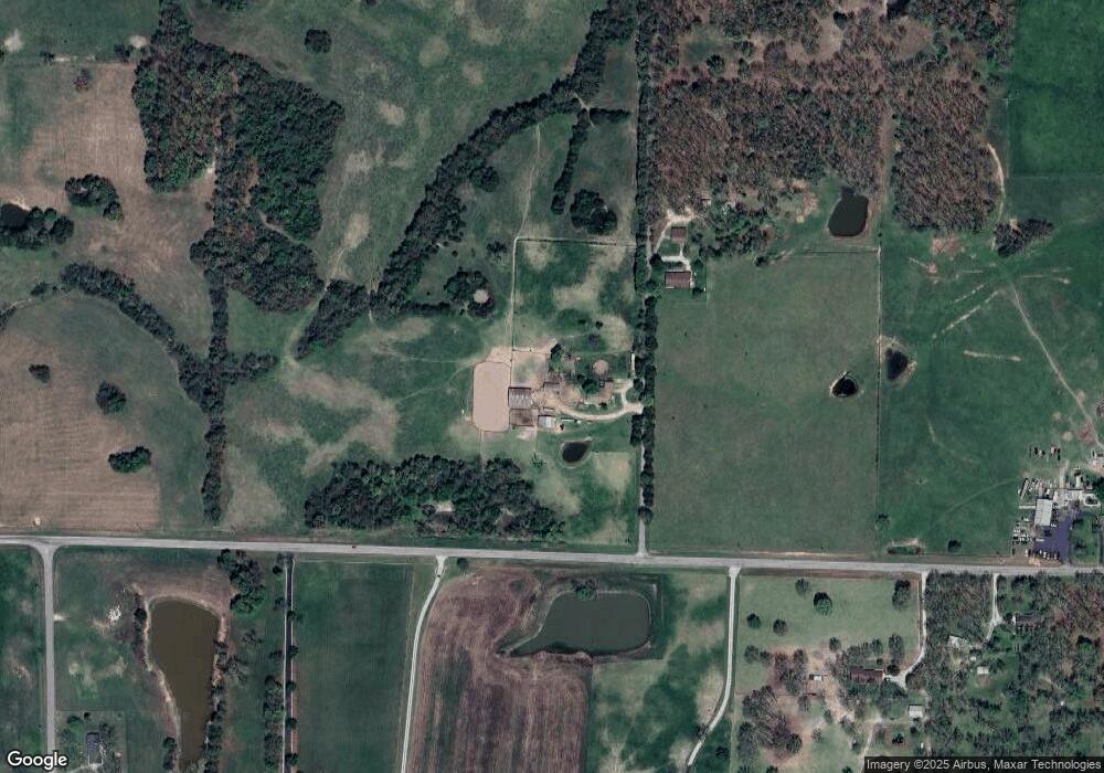
Map
Nearby Homes
- 15944 Highway Ww
- 15650 Highway Ww
- 15800 Highway Ww
- 25195 Mcbride Dr
- 27409 Missouri Dr
- 24679 Mineral Dr
- 000 Ivory Rd
- 24960 Mcclurg Dr
- 25670 Open Ridge Ln
- 25611 Open Ridge Ln
- 000 Gateway Rd
- 1040 Daytona Dr
- 13704 Golden Leaf Ln
- 16525 Finch Rd
- 29385 Highway Aa
- 13715 Industry Rd
- TBD Honeysuckle Cir
- 18826 Highway 64
- 23315 Marvel Dr
- 23350 Marvel Dr
- 16543 Highway Ww
- 16586 Highway Ww
- 16690 Highway Ww
- 16768 Highway Ww
- 16512 Highway Ww
- 16512 Highway Ww
- 15944 Highway Ww
- 16761 Highway Ww
- 16830 Highway Ww
- 0 Noland Dr Unit 14036218
- 0 Noland Dr Unit 17003179
- 0 Noland Dr Unit 19748
- 26101 Noland Dr
- 26101 Noland Dr Unit Track 2
- 26101 Noland Dr Unit Track 1
- 26101 Noland Dr Unit Track 3
- 26101 Noland Dr Unit Track 4
- 26189 Noland Dr
- 16829 Highway Ww
- 16935 Highway Ww