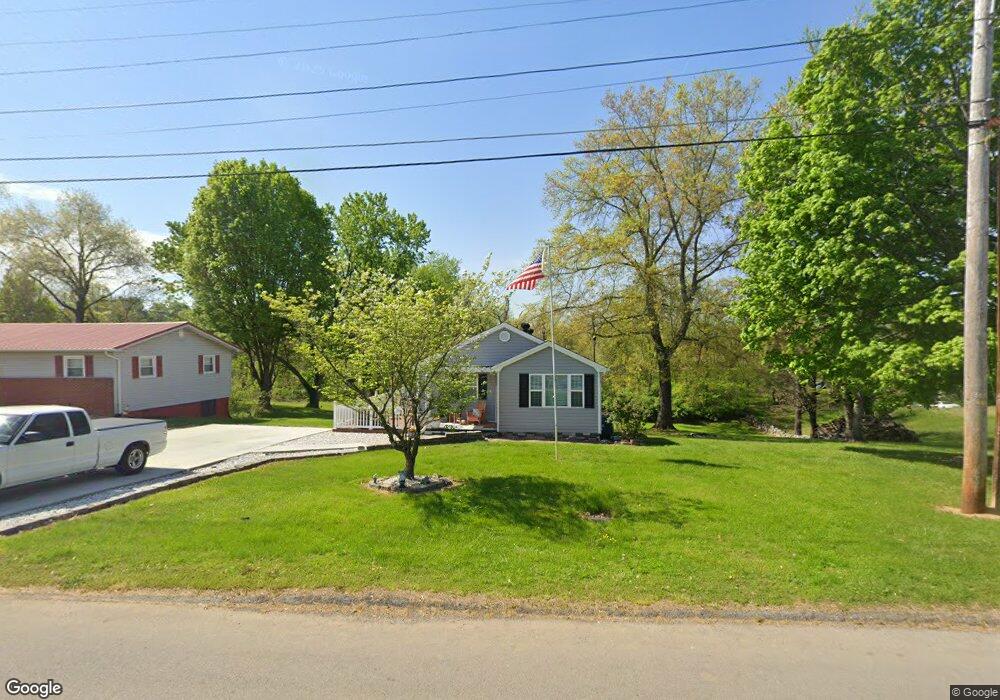
1655 Thomas R James Dr Morristown, TN 37813
Estimated Value: $158,000 - $196,000
2
Beds
1
Bath
1,820
Sq Ft
$99/Sq Ft
Est. Value
About This Home
This home is located at 1655 Thomas R James Dr, Morristown, TN 37813 and is currently estimated at $179,599, approximately $98 per square foot. 1655 Thomas R James Dr is a home located in Hamblen County with nearby schools including Lincoln Heights Elementary School, Lincoln Heights Middle School, and Morristown West High School.
Ownership History
Date
Name
Owned For
Owner Type
Purchase Details
Closed on
Nov 17, 2016
Sold by
Secretary Of Housing And U
Bought by
Trent Tony S
Current Estimated Value
Home Financials for this Owner
Home Financials are based on the most recent Mortgage that was taken out on this home.
Original Mortgage
$45,379
Outstanding Balance
$37,513
Interest Rate
4.4%
Mortgage Type
FHA
Estimated Equity
$142,086
Purchase Details
Closed on
Apr 5, 2016
Sold by
Wells Fargo Bank
Bought by
Sec Of Housing & Urban
Purchase Details
Closed on
Mar 23, 2016
Sold by
Wilder Evelyn
Bought by
Federal National Mortgage Association
Purchase Details
Closed on
Jul 10, 1997
Bought by
Wilder Evelyn
Purchase Details
Closed on
Sep 15, 1972
Bought by
Davis Burl and Davis Billie
Create a Home Valuation Report for This Property
The Home Valuation Report is an in-depth analysis detailing your home's value as well as a comparison with similar homes in the area
Home Values in the Area
Average Home Value in this Area
Purchase History
| Date | Buyer | Sale Price | Title Company |
|---|---|---|---|
| Trent Tony S | $32,700 | -- | |
| Sec Of Housing & Urban | -- | -- | |
| Federal National Mortgage Association | $37,775 | -- | |
| Wilder Evelyn | $49,900 | -- | |
| Davis Burl | $10,500 | -- |
Source: Public Records
Mortgage History
| Date | Status | Borrower | Loan Amount |
|---|---|---|---|
| Open | Trent Tony S | $45,379 |
Source: Public Records
Tax History Compared to Growth
Tax History
| Year | Tax Paid | Tax Assessment Tax Assessment Total Assessment is a certain percentage of the fair market value that is determined by local assessors to be the total taxable value of land and additions on the property. | Land | Improvement |
|---|---|---|---|---|
| 2024 | $345 | $19,600 | $3,550 | $16,050 |
| 2023 | $345 | $19,600 | $0 | $0 |
| 2022 | $619 | $19,600 | $3,550 | $16,050 |
| 2021 | $619 | $19,600 | $3,550 | $16,050 |
| 2020 | $619 | $19,600 | $3,550 | $16,050 |
| 2019 | $619 | $18,225 | $3,125 | $15,100 |
| 2018 | $574 | $18,225 | $3,125 | $15,100 |
| 2017 | $565 | $18,225 | $3,125 | $15,100 |
| 2016 | $540 | $18,225 | $3,125 | $15,100 |
| 2015 | $502 | $18,225 | $3,125 | $15,100 |
| 2014 | -- | $18,225 | $3,125 | $15,100 |
| 2013 | -- | $19,975 | $0 | $0 |
Source: Public Records
Map
Nearby Homes
- 440 S Fairmont Ave
- 837 Pauline Ave
- 1530 Rayburn Dr
- 203 Lincoln Ave
- Darwin Plan at Southwood
- Penwell Plan at Southwood
- Elston Plan at Southwood
- Robie Plan at Southwood
- Cali Plan at Southwood
- Belhaven Plan at Southwood
- 1476 Darbee Dr
- 731 Lennie Ave
- 1049 Greenway Dr
- 2018 Southwood Cir
- 1211 W 6th St N
- 900 Baird Ave
- 1002 Watercrest St
- 816 W 2nd St N
- 722 W 2nd St N
- 1442 Darbee Dr
- 1651 Thomas R James Dr
- 1647 Thomas R James Dr
- 1656 Thomas R James Dr
- 1703 Thomas R James Dr
- 1660 Thomas R James Dr
- 1700 Thomas R James Dr
- 961 Neikirk Dr
- 909 Neikirk Dr
- 1719 Thomas R James Dr
- 1702 Thomas R James Dr
- 0 Thomas R James Dr
- 0 Neikirk Dr
- 722 Jarnigan Ave
- 708 Jarnigan Ave
- 728 Jarnigan Ave
- 734 Jarnigan Ave
- 812 Jarnigan Ave
- 962 Neikirk Dr
- 1821 Thomas R James Dr
- 910 Neikirk Dr