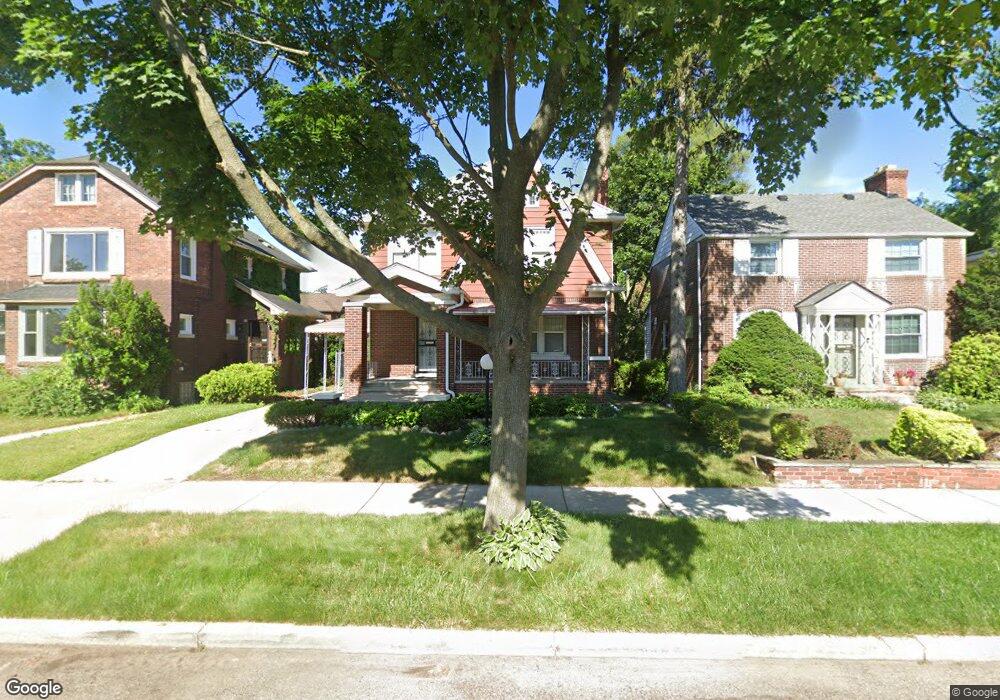
16595 Linwood St Detroit, MI 48221
Martin Park NeighborhoodEstimated Value: $119,000 - $217,000
--
Bed
2
Baths
1,667
Sq Ft
$96/Sq Ft
Est. Value
About This Home
This home is located at 16595 Linwood St, Detroit, MI 48221 and is currently estimated at $160,830, approximately $96 per square foot. 16595 Linwood St is a home located in Wayne County with nearby schools including Paul Robeson Malcolm X Academy, Charles L. Spain Elementary-Middle School, and Edward 'Duke' Ellington Conservatory of Music and Art.
Ownership History
Date
Name
Owned For
Owner Type
Purchase Details
Closed on
Jan 16, 2019
Sold by
Lowe Juliet and Lowe Juliette
Bought by
Lowe Juliette
Current Estimated Value
Home Financials for this Owner
Home Financials are based on the most recent Mortgage that was taken out on this home.
Original Mortgage
$50,000
Interest Rate
4.5%
Mortgage Type
Credit Line Revolving
Create a Home Valuation Report for This Property
The Home Valuation Report is an in-depth analysis detailing your home's value as well as a comparison with similar homes in the area
Home Values in the Area
Average Home Value in this Area
Purchase History
| Date | Buyer | Sale Price | Title Company |
|---|---|---|---|
| Lowe Juliette | -- | Minnesota Title Agency |
Source: Public Records
Mortgage History
| Date | Status | Borrower | Loan Amount |
|---|---|---|---|
| Closed | Lowe Juliette | $50,000 |
Source: Public Records
Tax History Compared to Growth
Tax History
| Year | Tax Paid | Tax Assessment Tax Assessment Total Assessment is a certain percentage of the fair market value that is determined by local assessors to be the total taxable value of land and additions on the property. | Land | Improvement |
|---|---|---|---|---|
| 2025 | $1,348 | $57,200 | $0 | $0 |
| 2024 | $1,348 | $47,700 | $0 | $0 |
| 2023 | $1,309 | $37,600 | $0 | $0 |
| 2022 | $1,396 | $29,400 | $0 | $0 |
| 2021 | $1,357 | $22,600 | $0 | $0 |
| 2020 | $1,357 | $19,400 | $0 | $0 |
| 2019 | $1,111 | $14,200 | $0 | $0 |
| 2018 | $952 | $12,100 | $0 | $0 |
| 2017 | $231 | $12,200 | $0 | $0 |
| 2016 | $1,266 | $24,300 | $0 | $0 |
| 2015 | $1,700 | $17,000 | $0 | $0 |
| 2013 | $2,457 | $27,312 | $0 | $0 |
| 2010 | -- | $37,909 | $998 | $36,911 |
Source: Public Records
Map
Nearby Homes
- 16641 La Salle Ave
- 16631 Lawton St
- 16651 Lawton St
- 16864 Linwood St
- 16831 Lawton St
- 16532 Parkside St
- 16514 La Salle Ave
- 16258 Parkside St
- 16182 Princeton St
- 16533 Parkside St
- 16200 Lawton St
- 2557 W McNichols Rd Unit 208
- 2557 W McNichols Rd Unit 210
- 16239 Baylis St
- 16810 Baylis St
- 16133 Princeton St
- 16520 Baylis St
- 2445 W McNichols Rd
- 16160 La Salle Ave
- 16554 Muirland St
- 16605 Linwood St
- 16579 Linwood St
- 16615 Linwood St
- 16602 Princeton St
- 16594 Princeton St
- 16623 Linwood St
- 16586 Princeton St
- 16571 Linwood St
- 16576 Princeton St
- 16614 Princeton St
- 16563 Linwood St
- 16631 Linwood St
- 16622 Princeton St
- 16555 Linwood St
- 16560 Princeton St
- 16641 Linwood St
- 16630 Princeton St
- 16554 Princeton St
- 16547 Linwood St
- 16640 Princeton St