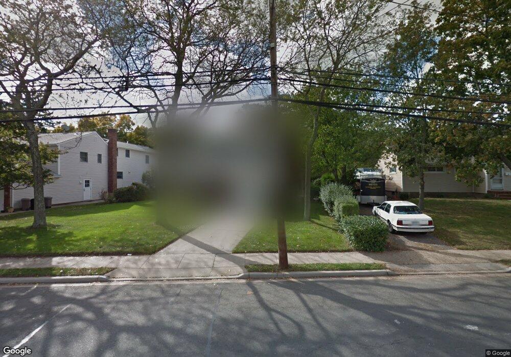
1666 Meadowbrook Rd Merrick, NY 11566
Estimated Value: $728,000 - $809,217
3
Beds
2
Baths
1,407
Sq Ft
$546/Sq Ft
Est. Value
About This Home
This home is located at 1666 Meadowbrook Rd, Merrick, NY 11566 and is currently estimated at $768,609, approximately $546 per square foot. 1666 Meadowbrook Rd is a home located in Nassau County with nearby schools including Burcham Elementary School, Merrick Avenue Middle School, and Waynoka High School.
Ownership History
Date
Name
Owned For
Owner Type
Purchase Details
Closed on
Aug 13, 2014
Sold by
Trapani George and Arber Linda
Bought by
Castano Jose and Mateo Nereida
Current Estimated Value
Home Financials for this Owner
Home Financials are based on the most recent Mortgage that was taken out on this home.
Original Mortgage
$282,600
Outstanding Balance
$215,095
Interest Rate
4.14%
Mortgage Type
New Conventional
Estimated Equity
$553,514
Purchase Details
Closed on
May 5, 2011
Sold by
Trapani Norma
Bought by
Arber Linda and Trapani George
Create a Home Valuation Report for This Property
The Home Valuation Report is an in-depth analysis detailing your home's value as well as a comparison with similar homes in the area
Home Values in the Area
Average Home Value in this Area
Purchase History
| Date | Buyer | Sale Price | Title Company |
|---|---|---|---|
| Castano Jose | $353,250 | Stewart | |
| Castano Jose | $353,250 | Stewart | |
| Castano Jose | $353,250 | Stewart | |
| Castano Jose | $353,250 | Stewart | |
| Castano Jose | $353,250 | Stewart | |
| Arber Linda | -- | -- | |
| Arber Linda | -- | -- | |
| Arber Linda | -- | -- |
Source: Public Records
Mortgage History
| Date | Status | Borrower | Loan Amount |
|---|---|---|---|
| Open | Castano Jose | $282,600 | |
| Closed | Castano Jose | $282,600 |
Source: Public Records
Tax History Compared to Growth
Tax History
| Year | Tax Paid | Tax Assessment Tax Assessment Total Assessment is a certain percentage of the fair market value that is determined by local assessors to be the total taxable value of land and additions on the property. | Land | Improvement |
|---|---|---|---|---|
| 2025 | $13,785 | $476 | $278 | $198 |
| 2024 | $3,674 | $495 | $289 | $206 |
| 2023 | $12,639 | $495 | $289 | $206 |
| 2022 | $12,639 | $495 | $289 | $206 |
| 2021 | $16,710 | $512 | $299 | $213 |
| 2020 | $13,035 | $690 | $557 | $133 |
| 2019 | $12,842 | $739 | $560 | $179 |
| 2018 | $12,956 | $788 | $0 | $0 |
| 2017 | $9,464 | $855 | $597 | $258 |
| 2016 | $13,289 | $855 | $597 | $258 |
| 2015 | -- | $855 | $597 | $258 |
| 2014 | -- | $855 | $597 | $258 |
| 2013 | $3,299 | $855 | $597 | $258 |
Source: Public Records
Map
Nearby Homes
- 1650 Bridge St
- 1750 Henry Rd
- 49 Prospect St
- 1772 Rose St
- 49 Elizabeth St
- 25 Bainbridge St
- 1617 Richard Ave
- 142 Gormley Ave
- 101 Northridge Ave
- 1706 Old Mill Rd
- 10 Sheridan Place
- 114 Frederick Ave
- 1938 Meadowbrook Rd
- 150 Stevens St
- 12 Washington Dr
- 28 Cumberland Ave
- 19 Bennett Ave
- 1729 Gormley Ave
- 1580 Little Whaleneck Rd
- 1800 Remson Ave
- 1658 Meadowbrook Rd
- 1674 Meadowbrook Rd
- 1680 Meadowbrook Rd
- 1650 Meadowbrook Rd
- 1688 Meadowbrook Rd
- 1663 Meadowbrook Rd
- 1669 Meadowbrook Rd
- 1676 Michael William Rd
- 1638 Meadowbrook Rd
- 1694 Meadowbrook Rd
- 1645 Michael William Rd
- 1704 Michael William Rd
- 1685 Meadowbrook Rd
- 1632 Meadowbrook Rd
- 1702 Meadowbrook Rd
- 1710 Michael William Rd
- 1635 Meadowbrook Rd
- 1697 Michael William Rd
- 1626 Meadowbrook Rd
- 1716 Michael William Rd