16669 Hartford Rd Lebanon, MO 65536
Estimated Value: $234,000 - $281,994
5
Beds
2
Baths
2,408
Sq Ft
$110/Sq Ft
Est. Value
About This Home
This home is located at 16669 Hartford Rd, Lebanon, MO 65536 and is currently estimated at $265,999, approximately $110 per square foot. 16669 Hartford Rd is a home located in Laclede County with nearby schools including Joel E. Barber Elementary School.
Ownership History
Date
Name
Owned For
Owner Type
Purchase Details
Closed on
Oct 15, 2025
Sold by
Boyd Doris
Bought by
Trust Agreement Of Terry Lee Graven And Nancy and Graven
Current Estimated Value
Purchase Details
Closed on
Aug 2, 2006
Sold by
Burk Terry Ken
Bought by
Boyd Doris L
Home Financials for this Owner
Home Financials are based on the most recent Mortgage that was taken out on this home.
Original Mortgage
$94,130
Interest Rate
6.66%
Mortgage Type
Future Advance Clause Open End Mortgage
Create a Home Valuation Report for This Property
The Home Valuation Report is an in-depth analysis detailing your home's value as well as a comparison with similar homes in the area
Home Values in the Area
Average Home Value in this Area
Purchase History
| Date | Buyer | Sale Price | Title Company |
|---|---|---|---|
| Trust Agreement Of Terry Lee Graven And Nancy | -- | Hogan Land Title | |
| Boyd Doris L | -- | None Available |
Source: Public Records
Mortgage History
| Date | Status | Borrower | Loan Amount |
|---|---|---|---|
| Previous Owner | Boyd Doris L | $94,130 |
Source: Public Records
Tax History Compared to Growth
Tax History
| Year | Tax Paid | Tax Assessment Tax Assessment Total Assessment is a certain percentage of the fair market value that is determined by local assessors to be the total taxable value of land and additions on the property. | Land | Improvement |
|---|---|---|---|---|
| 2025 | $779 | $20,370 | $0 | $0 |
| 2024 | $779 | $18,000 | $0 | $0 |
| 2023 | $773 | $18,000 | $0 | $0 |
| 2022 | $773 | $18,000 | $0 | $0 |
| 2021 | $747 | $17,993 | $1,767 | $16,226 |
| 2020 | $751 | $17,993 | $1,767 | $16,226 |
| 2019 | $759 | $18,000 | $1,770 | $16,230 |
| 2018 | $716 | $18,000 | $1,770 | $16,230 |
| 2017 | $723 | $18,000 | $0 | $0 |
| 2016 | $723 | $18,000 | $0 | $0 |
| 2015 | $723 | $18,000 | $0 | $0 |
| 2014 | $723 | $18,000 | $0 | $0 |
| 2013 | -- | $18,000 | $0 | $0 |
Source: Public Records
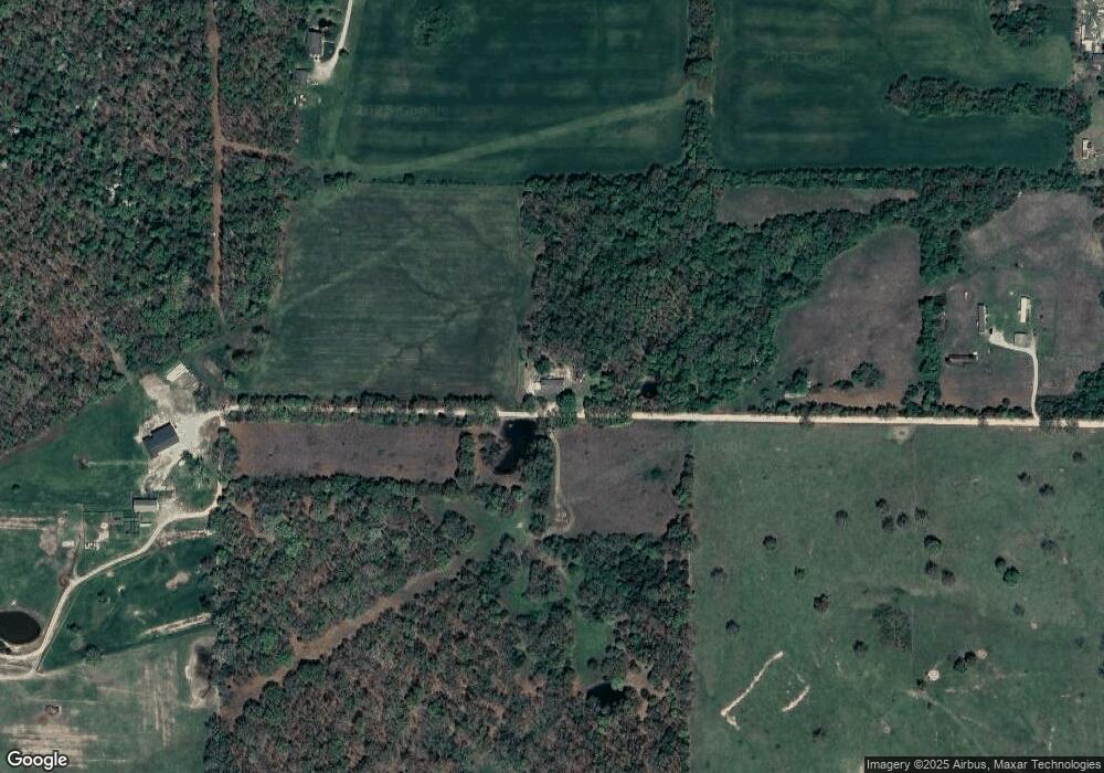
Map
Nearby Homes
- 15944 Highway Ww
- 15650 Highway Ww
- 15800 Highway Ww
- 000 Ivory Rd
- 27409 Missouri Dr
- 29385 Highway Aa
- 25195 Mcbride Dr
- 25670 Open Ridge Ln
- 25611 Open Ridge Ln
- 13715 Industry Rd
- 24679 Mineral Dr
- 17 Grandlake Cir
- 2 Grandlake Cir
- 10 Grandlake Cir
- 1040 Daytona Dr
- 31 Ontario Dr
- 000 Gateway Rd
- 1 Grandlake Cir
- 000 Greenfield Rd
- TBD Greenfield Rd
- 16600 Homestead Ln
- 16801 Homestead Ln
- 27215 Highway Aa
- 27000 Highway Aa
- 27236 Highway Aa
- 27399 Highway Yy
- 27399 Highway Aa
- 26688 Highway Aa
- 26525 Highway Aa
- 27439 Highway Aa
- 27022 Highway Aa
- 26530 Highway Aa
- 16800 Hawk Dr
- 26403 Highway Aa
- 16850 Hawk Cir
- 22221 Aa Hwy
- 16900 Hawk Cir
- 16801 Hawk Cir
- 16801 Hawk Cir