1678 S Wilson Dam Rd Muscle Shoals, AL 35661
Estimated Value: $1,079,958
--
Bed
3
Baths
15,852
Sq Ft
$68/Sq Ft
Est. Value
About This Home
This home is located at 1678 S Wilson Dam Rd, Muscle Shoals, AL 35661 and is currently estimated at $1,079,958, approximately $68 per square foot. 1678 S Wilson Dam Rd is a home located in Colbert County with nearby schools including McBride Elementary School, Webster Elementary School, and Muscle Shoals Middle School.
Ownership History
Date
Name
Owned For
Owner Type
Purchase Details
Closed on
May 3, 2024
Sold by
Watsons Properties Llc
Bought by
Lackey Janice S
Current Estimated Value
Purchase Details
Closed on
Aug 4, 2016
Sold by
Martin Aycock Properties Llc
Bought by
Watsons Properties Llc
Purchase Details
Closed on
Feb 26, 2016
Sold by
King Loyd
Bought by
Martin Aycock Properties
Home Financials for this Owner
Home Financials are based on the most recent Mortgage that was taken out on this home.
Original Mortgage
$600,000
Interest Rate
3.81%
Mortgage Type
Commercial
Create a Home Valuation Report for This Property
The Home Valuation Report is an in-depth analysis detailing your home's value as well as a comparison with similar homes in the area
Home Values in the Area
Average Home Value in this Area
Purchase History
| Date | Buyer | Sale Price | Title Company |
|---|---|---|---|
| Lackey Janice S | $1,050,000 | Attorney Only | |
| Watsons Properties Llc | -- | -- | |
| Martin Aycock Properties | $500,000 | -- |
Source: Public Records
Mortgage History
| Date | Status | Borrower | Loan Amount |
|---|---|---|---|
| Previous Owner | Martin Aycock Properties | $600,000 |
Source: Public Records
Tax History Compared to Growth
Tax History
| Year | Tax Paid | Tax Assessment Tax Assessment Total Assessment is a certain percentage of the fair market value that is determined by local assessors to be the total taxable value of land and additions on the property. | Land | Improvement |
|---|---|---|---|---|
| 2024 | $7,194 | $153,860 | $9,900 | $143,960 |
| 2023 | $6,231 | $144,700 | $0 | $0 |
| 2022 | $4,997 | $123,380 | $0 | $0 |
| 2021 | $4,853 | $119,820 | $0 | $0 |
| 2020 | $4,594 | $113,420 | $0 | $0 |
| 2019 | $4,266 | $106,600 | $0 | $0 |
| 2018 | $4,266 | $105,340 | $0 | $0 |
| 2017 | $3,128 | $77,240 | $0 | $0 |
| 2016 | $2,785 | $73,380 | $0 | $0 |
| 2013 | -- | $0 | $0 | $0 |
Source: Public Records
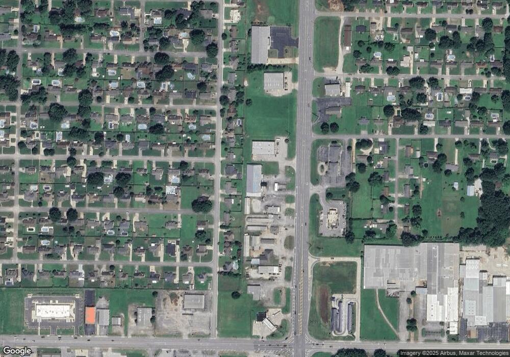
Map
Nearby Homes
- 2209 Jennifer Ave
- 2207 Jennifer Ave
- 2207 Marietta Ave
- 0 1st Ave Unit 151945
- 104 Colorado Ave
- 117 Colorado Ave
- 1907 Orman St
- 1901 Orman St
- 2301 Johns Ave
- 1803 Orman St
- 1903 Edwards Ave
- 1809 Virginia Ave
- 00 Hunter Rd
- 711 Beverly Dr
- 2011 Pleasant
- 111 E Roosevelt Ave
- 105 Aidan Ln
- 107 Heather Ln
- 108 Congress Ave
- 309 E Nassau Ave
- 1505 Brookford Place
- 1503 Brookford Place
- 1601 Brookford Place
- 1501 Brookford Place
- 1682 S Wilson Dam Rd
- 0 Brookford St
- 1405 Brookford Place
- 1603 Brookford Place
- 1686 S Wilson Dam Rd
- 1688 S Wilson Dam Rd
- 2222 Jennifer Ave
- 2223 Robbie Ave
- 1403 Brookford Place
- 1605 Brookford Place
- 2223 Jennifer Ave
- 2220 1/2 E Jennifer Ave
- 2220 Jennifer Ave
- 2220 Jennifer Ave
- 2222 Robbie Ave
- 1692 S Wilson Dam Rd