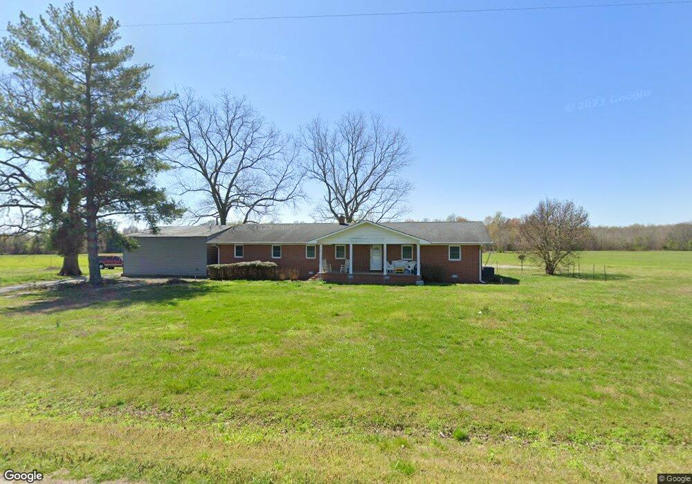
1679 Smith Rd Manchester, TN 37355
Estimated Value: $380,000 - $736,692
--
Bed
2
Baths
1,922
Sq Ft
$291/Sq Ft
Est. Value
About This Home
This home is located at 1679 Smith Rd, Manchester, TN 37355 and is currently estimated at $558,346, approximately $290 per square foot. 1679 Smith Rd is a home located in Coffee County with nearby schools including East Coffee Elementary School, Coffee County Middle School, and Coffee County Central High School.
Ownership History
Date
Name
Owned For
Owner Type
Purchase Details
Closed on
Jun 3, 2002
Sold by
May Tom and May Alta
Bought by
Hodge Joseph and Hodge Judith
Current Estimated Value
Purchase Details
Closed on
Apr 17, 2000
Sold by
Hodge Joseph Michael
Bought by
Arnold Mark A and Arnold Jennifer L
Home Financials for this Owner
Home Financials are based on the most recent Mortgage that was taken out on this home.
Original Mortgage
$47,310
Interest Rate
8.24%
Purchase Details
Closed on
Jun 3, 1997
Sold by
Smith Lyndon Lile
Bought by
Hodge Joseph and Hodge Judith
Create a Home Valuation Report for This Property
The Home Valuation Report is an in-depth analysis detailing your home's value as well as a comparison with similar homes in the area
Home Values in the Area
Average Home Value in this Area
Purchase History
| Date | Buyer | Sale Price | Title Company |
|---|---|---|---|
| Hodge Joseph | -- | -- | |
| Arnold Mark A | $49,800 | -- | |
| Hodge Joseph | $54,167 | -- |
Source: Public Records
Mortgage History
| Date | Status | Borrower | Loan Amount |
|---|---|---|---|
| Previous Owner | Hodge Joseph | $47,310 |
Source: Public Records
Tax History Compared to Growth
Tax History
| Year | Tax Paid | Tax Assessment Tax Assessment Total Assessment is a certain percentage of the fair market value that is determined by local assessors to be the total taxable value of land and additions on the property. | Land | Improvement |
|---|---|---|---|---|
| 2024 | $2,392 | $102,600 | $69,775 | $32,825 |
| 2023 | $2,392 | $102,600 | $0 | $0 |
| 2022 | $2,392 | $102,600 | $69,775 | $32,825 |
| 2021 | $2,413 | $82,300 | $56,675 | $25,625 |
| 2020 | $2,413 | $82,300 | $56,675 | $25,625 |
| 2019 | $2,413 | $82,300 | $56,675 | $25,625 |
| 2018 | $2,413 | $82,300 | $56,675 | $25,625 |
| 2017 | $2,683 | $82,225 | $53,775 | $28,450 |
| 2016 | $2,683 | $82,225 | $53,775 | $28,450 |
| 2015 | $2,683 | $82,225 | $53,775 | $28,450 |
| 2014 | $2,682 | $82,211 | $0 | $0 |
Source: Public Records
Map
Nearby Homes
- 0 Mcafee E Unit RTC2865293
- 0 Mcafee Rd
- 1037 Mcafee Rd
- 1694 Mcafee Rd
- 2498 Sp Anderson Rd
- 0 Ramsey Rd
- 7807 McMinnville Hwy Unit 7807
- 967 Mud Creek Rd
- 667 Pete Sain Rd
- 631 W Maple St
- 0 Pete Sain Rd
- 440 W Maple St
- 0 Oak St
- 363 Willow Brook Dr
- 300 Willow Brook Dr
- 511 N Main St
- 231 Tom Johnson Rd
- 10157 Manchester Hwy
- 120 Boyd St
- 1 Summitville Rd
- 1309 Smith Rd
- 2530 Shady Grove Rd
- 2239 Shady Grove Rd
- 2116 Shady Grove Rd
- 1164 Smith Rd
- 15 Sagely Ln
- 1847 Shady Grove Rd
- 276 Prater Ln
- 204 Sagely Ln
- 1699 Shady Grove Rd
- 897 Smith Rd
- 320 Laxson Ln
- 1580 Shady Grove Rd
- 7896 Shady Grove Rd
- 0 Shady Grove Rd
- 1 Martin Rd
- 3080 Shady Grove Rd
- 38 Martin Rd
- 0 Jarrell Rd
- 242 Laxson Ln