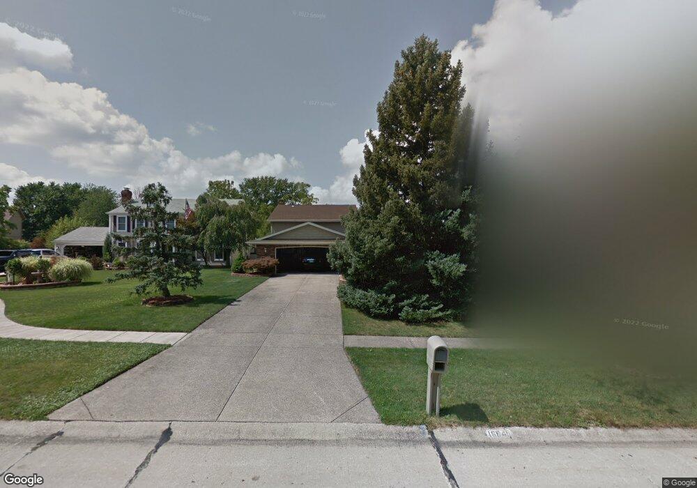
16845 Wolf Run Cir Strongsville, OH 44136
Estimated Value: $368,000 - $394,000
4
Beds
3
Baths
2,420
Sq Ft
$158/Sq Ft
Est. Value
About This Home
This home is located at 16845 Wolf Run Cir, Strongsville, OH 44136 and is currently estimated at $381,299, approximately $157 per square foot. 16845 Wolf Run Cir is a home located in Cuyahoga County with nearby schools including Strongsville High School and Sts Joseph & John Interparochial School.
Ownership History
Date
Name
Owned For
Owner Type
Purchase Details
Closed on
Mar 10, 1989
Sold by
Sikora Adolf
Bought by
Sikora Adolf
Current Estimated Value
Purchase Details
Closed on
Aug 28, 1987
Sold by
Didich Aaron N and Didich Janice M
Bought by
Sikora Adolf
Purchase Details
Closed on
Jun 25, 1986
Sold by
Diehl Richard L and Frances E
Bought by
Didich Aaron N and Didich Janice M
Purchase Details
Closed on
Mar 15, 1979
Sold by
Kimberlain Charles N
Bought by
Diehl Richard L and Diehl Frances E
Purchase Details
Closed on
Nov 8, 1976
Bought by
Kimberlain Charles N
Purchase Details
Closed on
Mar 31, 1976
Bought by
Production Homes Inc
Purchase Details
Closed on
Jan 1, 1976
Bought by
North East Land Co
Create a Home Valuation Report for This Property
The Home Valuation Report is an in-depth analysis detailing your home's value as well as a comparison with similar homes in the area
Home Values in the Area
Average Home Value in this Area
Purchase History
| Date | Buyer | Sale Price | Title Company |
|---|---|---|---|
| Sikora Adolf | -- | -- | |
| Sikora Adolf | $123,000 | -- | |
| Didich Aaron N | $120,000 | -- | |
| Diehl Richard L | $94,000 | -- | |
| Kimberlain Charles N | $71,200 | -- | |
| Production Homes Inc | -- | -- | |
| North East Land Co | -- | -- |
Source: Public Records
Tax History Compared to Growth
Tax History
| Year | Tax Paid | Tax Assessment Tax Assessment Total Assessment is a certain percentage of the fair market value that is determined by local assessors to be the total taxable value of land and additions on the property. | Land | Improvement |
|---|---|---|---|---|
| 2024 | $4,910 | $114,380 | $22,295 | $92,085 |
| 2023 | $4,822 | $86,180 | $18,800 | $67,380 |
| 2022 | $4,813 | $86,170 | $18,800 | $67,380 |
| 2021 | $4,775 | $86,170 | $18,800 | $67,380 |
| 2020 | $4,314 | $70,630 | $15,400 | $55,230 |
| 2019 | $4,187 | $201,800 | $44,000 | $157,800 |
| 2018 | $3,800 | $70,630 | $15,400 | $55,230 |
| 2017 | $3,811 | $66,190 | $12,390 | $53,800 |
| 2016 | $3,780 | $66,190 | $12,390 | $53,800 |
| 2015 | $3,833 | $66,190 | $12,390 | $53,800 |
| 2014 | $3,833 | $66,190 | $12,390 | $53,800 |
Source: Public Records
Map
Nearby Homes
- 17024 Bear Creek Ln
- 18294 Drake Rd
- 17682 Drake Rd
- 17934 Cambridge Oval
- 17159 Turkey Meadow Ln
- 18411 Yorktown Oval
- 18162 Fawn Cir
- 17259 Woodshire Dr
- 19297 Lauren Way
- 16650 Lanier Ave
- 19311 Bradford Ct
- 16486 S Red Rock Dr
- 18630 Shurmer Rd
- 18848 Pearl Rd
- 20393 Wildwood Ln
- 17130 Golden Star Dr
- 16450 Howe Rd
- 19908 Stoughton Dr
- 20114 Drake Rd
- 16711 Beech Cir
- 16837 Wolf Run Cir
- 16854 Wolf Run Cir
- 16829 Wolf Run Cir
- 16861 Wolf Run Cir
- 16896 Rabbit Run Dr
- 16888 Rabbit Run Dr
- 16904 Rabbit Run Dr
- 16912 Rabbit Run Dr
- 16844 Wolf Run Cir
- 16880 Rabbit Run Dr
- 16836 Wolf Run Cir
- 16852 Wolf Run Cir
- 16828 Wolf Run Cir
- 17166 Rabbit Run Dr
- 17158 Rabbit Run Dr
- 16868 Wolf Run Cir
- 16920 Rabbit Run Dr
- 16860 Wolf Run Cir
- 16872 Rabbit Run Dr
- 17132 Hawks Lookout Ln