16851 Hawk Cir Lebanon, MO 65536
Estimated Value: $257,000 - $283,000
--
Bed
--
Bath
2,451
Sq Ft
$110/Sq Ft
Est. Value
About This Home
This home is located at 16851 Hawk Cir, Lebanon, MO 65536 and is currently estimated at $270,026, approximately $110 per square foot. 16851 Hawk Cir is a home located in Laclede County with nearby schools including Joel E. Barber Elementary School.
Ownership History
Date
Name
Owned For
Owner Type
Purchase Details
Closed on
Mar 20, 2025
Sold by
Nichols Christopher and Nichols Kristy
Bought by
Nichols Christopher and Nichols Kristy
Current Estimated Value
Purchase Details
Closed on
Jul 7, 2015
Sold by
Nichols Jessica L
Bought by
Nichols Christopher
Purchase Details
Closed on
Jan 8, 2010
Sold by
Nichols Christopher
Bought by
Nichols Christopher and Nichols Jessica
Home Financials for this Owner
Home Financials are based on the most recent Mortgage that was taken out on this home.
Original Mortgage
$87,510
Interest Rate
5.08%
Mortgage Type
New Conventional
Create a Home Valuation Report for This Property
The Home Valuation Report is an in-depth analysis detailing your home's value as well as a comparison with similar homes in the area
Home Values in the Area
Average Home Value in this Area
Purchase History
| Date | Buyer | Sale Price | Title Company |
|---|---|---|---|
| Nichols Christopher | -- | None Listed On Document | |
| Nichols Christopher | -- | None Listed On Document | |
| Nichols Christopher | -- | None Available | |
| Nichols Christopher | -- | Servicelink |
Source: Public Records
Mortgage History
| Date | Status | Borrower | Loan Amount |
|---|---|---|---|
| Previous Owner | Nichols Christopher | $87,510 |
Source: Public Records
Tax History Compared to Growth
Tax History
| Year | Tax Paid | Tax Assessment Tax Assessment Total Assessment is a certain percentage of the fair market value that is determined by local assessors to be the total taxable value of land and additions on the property. | Land | Improvement |
|---|---|---|---|---|
| 2025 | $962 | $24,450 | $0 | $0 |
| 2024 | $962 | $22,250 | $0 | $0 |
| 2023 | $956 | $22,250 | $0 | $0 |
| 2022 | $956 | $22,250 | $0 | $0 |
| 2021 | $923 | $22,249 | $2,489 | $19,760 |
| 2020 | $929 | $22,249 | $2,489 | $19,760 |
| 2019 | $929 | $22,010 | $3,520 | $18,490 |
| 2018 | $875 | $22,010 | $3,520 | $18,490 |
| 2017 | $721 | $22,010 | $0 | $0 |
| 2016 | $721 | $22,010 | $0 | $0 |
| 2015 | $721 | $22,010 | $0 | $0 |
| 2014 | $721 | $17,960 | $0 | $0 |
| 2013 | -- | $17,960 | $0 | $0 |
Source: Public Records
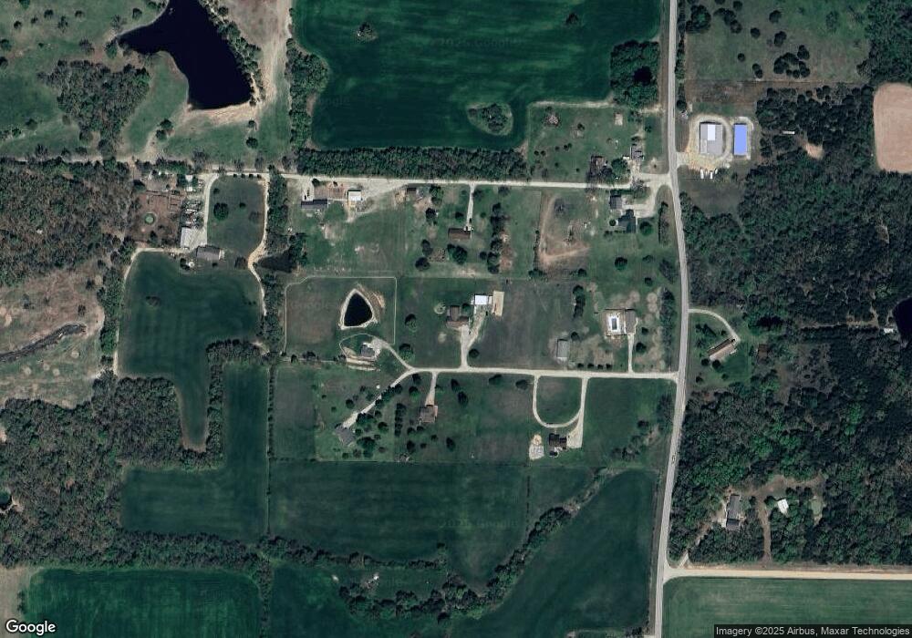
Map
Nearby Homes
- 000 Ivory Rd
- 29385 Highway Aa
- 15944 Highway Ww
- 27409 Missouri Dr
- 15800 Highway Ww
- 15650 Highway Ww
- 13715 Industry Rd
- 17 Grandlake Cir
- 2 Grandlake Cir
- 10 Grandlake Cir
- 25670 Open Ridge Ln
- 31 Ontario Dr
- 25611 Open Ridge Ln
- 19954 Ironwood Ln
- 25195 Mcbride Dr
- 1 Grandlake Cir
- 20150 SW Oakwood Dr
- 000 Greenfield Rd
- TBD Greenfield Rd
- 20193 SW Oakwood Dr
- 16750 Hickory Ln
- 16801 Hawk Cir
- 16801 Hawk Cir
- 16850 Hawk Cir
- 0 Hickory Ln
- 16900 Hawk Cir
- 16800 Hawk Dr
- 16901 Hawk Cir
- 16700 Hickory Ln
- 16800 Hickory Ln
- 27725 Highway Aa
- 16650 Hickory Ln
- 27664 Highway Aa
- 22221 Aa Hwy
- 27750 Highway Aa
- 27439 Highway Aa
- 27399 Highway Yy
- 27399 Highway Aa
- 28039 Highway Aa
- 16801 Homestead Ln