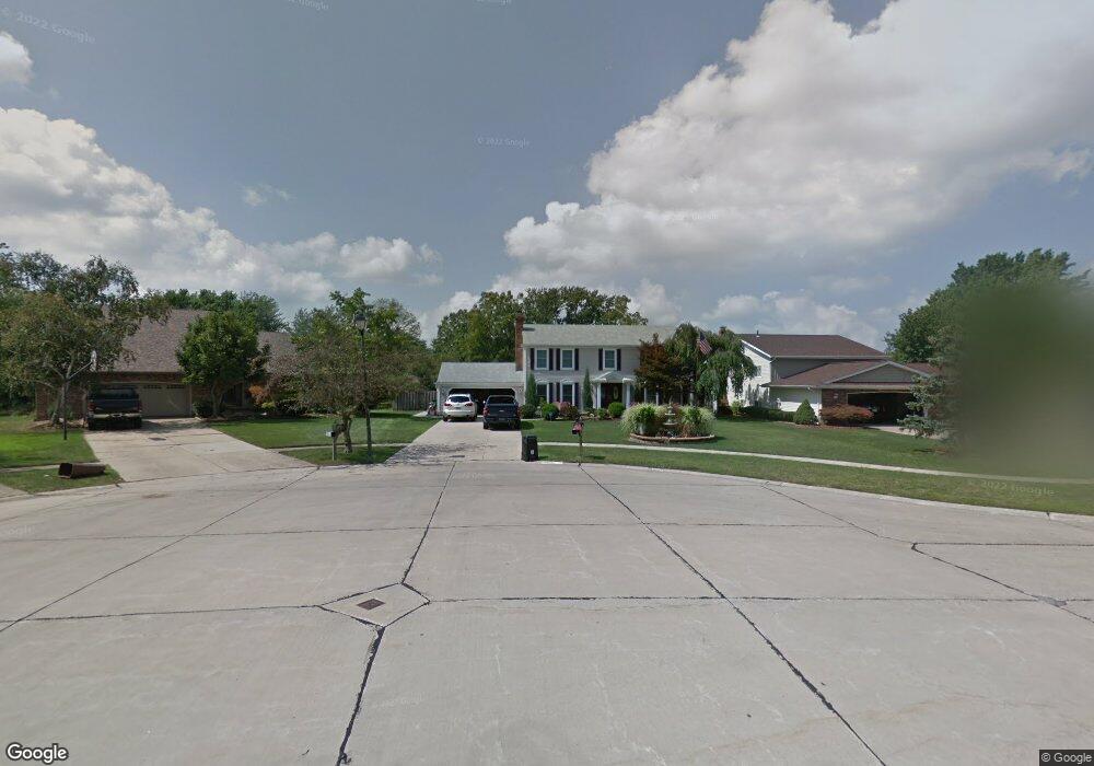
16854 Wolf Run Cir Strongsville, OH 44136
Estimated Value: $365,939 - $400,000
4
Beds
3
Baths
2,438
Sq Ft
$157/Sq Ft
Est. Value
About This Home
This home is located at 16854 Wolf Run Cir, Strongsville, OH 44136 and is currently estimated at $381,735, approximately $156 per square foot. 16854 Wolf Run Cir is a home located in Cuyahoga County with nearby schools including Strongsville High School and Sts Joseph & John Interparochial School.
Ownership History
Date
Name
Owned For
Owner Type
Purchase Details
Closed on
Sep 10, 1986
Sold by
Fleming Donald M
Bought by
Hockenberry Bertram L
Current Estimated Value
Purchase Details
Closed on
Dec 21, 1978
Bought by
Fleming Donald M
Purchase Details
Closed on
Oct 30, 1978
Sold by
Bowling Doanld K
Bought by
General Motors Corporation
Purchase Details
Closed on
Jun 18, 1976
Bought by
Bowling Doanld K
Purchase Details
Closed on
Feb 18, 1976
Bought by
Production Homes Inc
Purchase Details
Closed on
Jan 1, 1976
Bought by
North East Land Co
Create a Home Valuation Report for This Property
The Home Valuation Report is an in-depth analysis detailing your home's value as well as a comparison with similar homes in the area
Home Values in the Area
Average Home Value in this Area
Purchase History
| Date | Buyer | Sale Price | Title Company |
|---|---|---|---|
| Hockenberry Bertram L | $115,000 | -- | |
| Fleming Donald M | $95,700 | -- | |
| General Motors Corporation | $96,000 | -- | |
| Bowling Doanld K | $69,700 | -- | |
| Production Homes Inc | $32,500 | -- | |
| North East Land Co | -- | -- |
Source: Public Records
Tax History Compared to Growth
Tax History
| Year | Tax Paid | Tax Assessment Tax Assessment Total Assessment is a certain percentage of the fair market value that is determined by local assessors to be the total taxable value of land and additions on the property. | Land | Improvement |
|---|---|---|---|---|
| 2024 | $4,802 | $112,070 | $22,750 | $89,320 |
| 2023 | $4,618 | $82,920 | $19,220 | $63,700 |
| 2022 | $4,610 | $82,920 | $19,220 | $63,700 |
| 2021 | $4,574 | $82,920 | $19,220 | $63,700 |
| 2020 | $4,128 | $67,970 | $15,750 | $52,220 |
| 2019 | $4,007 | $194,200 | $45,000 | $149,200 |
| 2018 | $3,579 | $67,970 | $15,750 | $52,220 |
| 2017 | $3,588 | $62,830 | $12,710 | $50,120 |
| 2016 | $3,558 | $62,830 | $12,710 | $50,120 |
| 2015 | $4,857 | $62,830 | $12,710 | $50,120 |
| 2014 | $4,857 | $62,830 | $12,710 | $50,120 |
Source: Public Records
Map
Nearby Homes
- 18294 Drake Rd
- 17024 Bear Creek Ln
- 17682 Drake Rd
- 17934 Cambridge Oval
- 18411 Yorktown Oval
- 17159 Turkey Meadow Ln
- 17069 Partridge Dr
- 18162 Fawn Cir
- 17259 Woodshire Dr
- 16650 Lanier Ave
- 19297 Lauren Way
- 19311 Bradford Ct
- 16486 S Red Rock Dr
- 18848 Pearl Rd
- 17130 Golden Star Dr
- 20393 Wildwood Ln
- 18630 Shurmer Rd
- 16450 Howe Rd
- 16711 Beech Cir
- 18229 Howe Rd
- 16845 Wolf Run Cir
- 16861 Wolf Run Cir
- 16837 Wolf Run Cir
- 16904 Rabbit Run Dr
- 16912 Rabbit Run Dr
- 16896 Rabbit Run Dr
- 16920 Rabbit Run Dr
- 16888 Rabbit Run Dr
- 16868 Wolf Run Cir
- 17132 Hawks Lookout Ln
- 16829 Wolf Run Cir
- 17128 Hawks Lookout Ln
- 16844 Wolf Run Cir
- 16852 Wolf Run Cir
- 16860 Wolf Run Cir
- 17140 Hawks Lookout Ln
- 17120 Hawks Lookout Ln
- 16880 Rabbit Run Dr
- 16836 Wolf Run Cir
- 17148 Hawks Lookout Ln