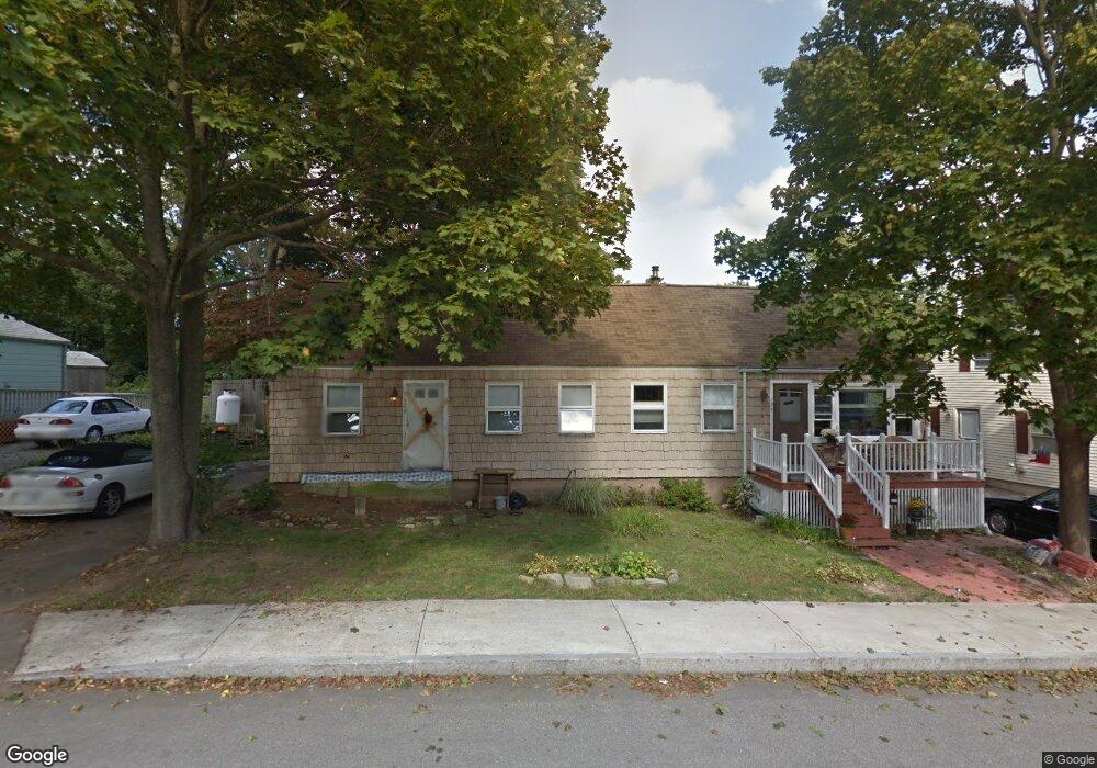
169-171 Manson Ave Kittery, ME 03904
Estimated Value: $443,555 - $545,000
4
Beds
2
Baths
1,400
Sq Ft
$364/Sq Ft
Est. Value
About This Home
This home is located at 169-171 Manson Ave, Kittery, ME 03904 and is currently estimated at $509,889, approximately $364 per square foot. 169-171 Manson Ave is a home located in York County with nearby schools including Shapleigh School, Horace Mitchell Primary School, and Robert W Traip Academy.
Ownership History
Date
Name
Owned For
Owner Type
Purchase Details
Closed on
Feb 28, 2008
Sold by
Mccormack Jon D and Connors Nicki P
Bought by
Alyson Lisa L
Current Estimated Value
Home Financials for this Owner
Home Financials are based on the most recent Mortgage that was taken out on this home.
Original Mortgage
$200,000
Outstanding Balance
$124,998
Interest Rate
5.8%
Mortgage Type
Unknown
Estimated Equity
$384,891
Create a Home Valuation Report for This Property
The Home Valuation Report is an in-depth analysis detailing your home's value as well as a comparison with similar homes in the area
Home Values in the Area
Average Home Value in this Area
Purchase History
| Date | Buyer | Sale Price | Title Company |
|---|---|---|---|
| Alyson Lisa L | $1,001 | -- |
Source: Public Records
Mortgage History
| Date | Status | Borrower | Loan Amount |
|---|---|---|---|
| Open | Alyson Lisa L | $200,000 |
Source: Public Records
Tax History Compared to Growth
Tax History
| Year | Tax Paid | Tax Assessment Tax Assessment Total Assessment is a certain percentage of the fair market value that is determined by local assessors to be the total taxable value of land and additions on the property. | Land | Improvement |
|---|---|---|---|---|
| 2024 | $3,780 | $266,200 | $109,700 | $156,500 |
| 2023 | $3,623 | $266,200 | $109,700 | $156,500 |
| 2022 | $3,594 | $266,600 | $109,700 | $156,900 |
| 2021 | $3,466 | $266,600 | $109,700 | $156,900 |
| 2020 | $3,439 | $266,600 | $109,700 | $156,900 |
| 2019 | $3,123 | $179,500 | $65,000 | $114,500 |
| 2018 | $3,016 | $179,500 | $65,000 | $114,500 |
| 2017 | $2,874 | $174,200 | $65,000 | $109,200 |
| 2016 | $2,796 | $174,200 | $65,000 | $109,200 |
| 2015 | $2,730 | $174,200 | $65,000 | $109,200 |
| 2014 | -- | $174,200 | $65,000 | $109,200 |
| 2013 | $2,651 | $174,200 | $65,000 | $109,200 |
Source: Public Records
Map
Nearby Homes
- 2 Wainwright Ave
- 12 Gillis Dr Unit 3
- 205 Whipple Rd
- 8 Spruce Point Rd
- 165 Rogers Rd
- 299 Haley Rd
- 100 Shepards Cove Rd Unit F204
- 100 Shepards Cove Rd Unit G204
- 10-12 Pine St
- 197 State Rd
- 72 Pepperrell Rd
- 8 Water St Unit 2
- 8 Water St Unit 1
- 20 Mendum Ave
- 17 Elm Ct
- 15 Atkinson St
- 5 Spinney Way Unit 9
- 132 Pepperrell Rd
- 35 Badgers Island W Unit 203
- 35 Badgers Island W Unit 301
- 169 Manson Ave
- 20 Macdougal St
- 173 Manson Ave
- 165 Manson Ave Unit 167
- 165 Manson Ave
- 16-18 Macdougal St
- 165 - 167 Manson Ave
- 166 Manson Ave
- 164-166 Manson Ave
- 164 Manson Ave
- 168 Manson Ave
- 163 Manson Ave
- 25 Macdougal St
- 14 Macdougal St Unit 14
- 21 Macdougal St
- 2 Mead St Unit 2
- 2- 4 Mead
- 12 Macdougal St Unit 12
- 12-14 Macdougal St
- 4 Moore St