Estimated Value: $408,588 - $456,000
2
Beds
2
Baths
1,229
Sq Ft
$347/Sq Ft
Est. Value
About This Home
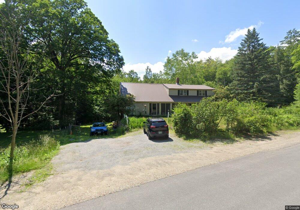
This home is located at 169 Lull Rd, Weare, NH 03281 and is currently estimated at $426,397, approximately $346 per square foot. 169 Lull Rd is a home with nearby schools including Center Woods Elementary School, Weare Middle School, and John Stark Regional High School.
Create a Home Valuation Report for This Property
The Home Valuation Report is an in-depth analysis detailing your home's value as well as a comparison with similar homes in the area
Home Values in the Area
Average Home Value in this Area
Tax History Compared to Growth
Tax History
| Year | Tax Paid | Tax Assessment Tax Assessment Total Assessment is a certain percentage of the fair market value that is determined by local assessors to be the total taxable value of land and additions on the property. | Land | Improvement |
|---|---|---|---|---|
| 2024 | $5,044 | $247,400 | $99,800 | $147,600 |
| 2023 | $4,661 | $247,400 | $99,800 | $147,600 |
| 2022 | $4,305 | $247,400 | $99,800 | $147,600 |
| 2021 | $4,255 | $247,400 | $99,800 | $147,600 |
| 2020 | $3,525 | $147,200 | $70,600 | $76,600 |
| 2019 | $3,490 | $147,200 | $70,600 | $76,600 |
| 2018 | $3,390 | $147,200 | $70,600 | $76,600 |
| 2016 | $3,293 | $147,200 | $70,600 | $76,600 |
| 2015 | $3,249 | $145,000 | $70,300 | $74,700 |
| 2014 | $3,220 | $145,000 | $70,300 | $74,700 |
| 2013 | $3,154 | $145,000 | $70,300 | $74,700 |
Source: Public Records
Map
Nearby Homes
- 196 Deering Center Rd
- 200 Mountain Rd
- 238 Old Francestown Rd
- 179 Oak Hill Rd
- 624 S Stark Hwy
- 103 Renshaw Rd
- 194 Buckley Rd Unit 2
- 194 Buckley Rd Unit 44
- Lot 1-50-1 Colburn Rd
- 77 Gould Rd
- 450 Weare Rd
- 281 Hodgdon Rd
- 10 Sap House Rd
- 93 Daniels Rd
- 342 Weare Rd
- 95 Wright Dr
- 30 Dels Way
- 133 Hay Hill Rd
- 174 S Stark Hwy Unit 13
- 174 S Stark Hwy Unit 1