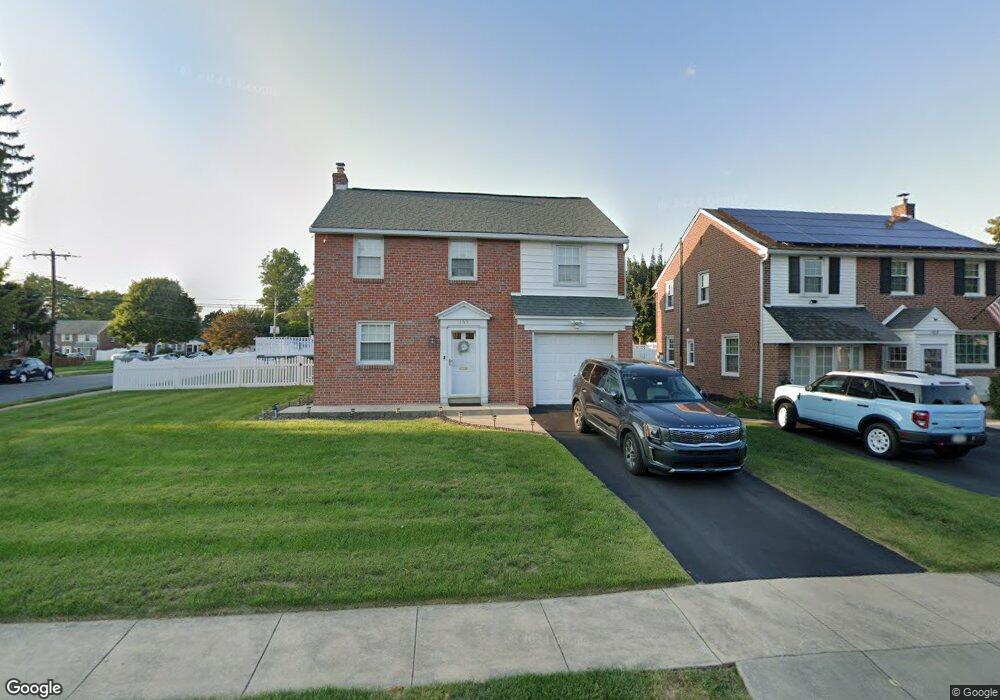
169 Signal Rd Drexel Hill, PA 19026
Estimated Value: $440,145 - $506,000
4
Beds
1
Bath
1,422
Sq Ft
$340/Sq Ft
Est. Value
About This Home
This home is located at 169 Signal Rd, Drexel Hill, PA 19026 and is currently estimated at $483,036, approximately $339 per square foot. 169 Signal Rd is a home located in Delaware County with nearby schools including Manoa Elementary School, Haverford Middle School, and Haverford Senior High School.
Ownership History
Date
Name
Owned For
Owner Type
Purchase Details
Closed on
Oct 25, 1996
Sold by
Porter Henry J and Porter Mildred H
Bought by
Lever Alan J and Lever Karen T
Current Estimated Value
Home Financials for this Owner
Home Financials are based on the most recent Mortgage that was taken out on this home.
Original Mortgage
$118,400
Outstanding Balance
$11,648
Interest Rate
8.07%
Estimated Equity
$471,388
Create a Home Valuation Report for This Property
The Home Valuation Report is an in-depth analysis detailing your home's value as well as a comparison with similar homes in the area
Home Values in the Area
Average Home Value in this Area
Purchase History
| Date | Buyer | Sale Price | Title Company |
|---|---|---|---|
| Lever Alan J | $148,000 | -- |
Source: Public Records
Mortgage History
| Date | Status | Borrower | Loan Amount |
|---|---|---|---|
| Open | Lever Alan J | $118,400 |
Source: Public Records
Tax History Compared to Growth
Tax History
| Year | Tax Paid | Tax Assessment Tax Assessment Total Assessment is a certain percentage of the fair market value that is determined by local assessors to be the total taxable value of land and additions on the property. | Land | Improvement |
|---|---|---|---|---|
| 2025 | $6,886 | $267,810 | $95,800 | $172,010 |
| 2024 | $6,886 | $267,810 | $95,800 | $172,010 |
| 2023 | $6,690 | $267,810 | $95,800 | $172,010 |
| 2022 | $6,534 | $267,810 | $95,800 | $172,010 |
| 2021 | $10,645 | $267,810 | $95,800 | $172,010 |
| 2020 | $6,226 | $133,950 | $51,550 | $82,400 |
| 2019 | $6,111 | $133,950 | $51,550 | $82,400 |
| 2018 | $6,006 | $133,950 | $0 | $0 |
| 2017 | $5,879 | $133,950 | $0 | $0 |
| 2016 | $735 | $133,950 | $0 | $0 |
| 2015 | $735 | $133,950 | $0 | $0 |
| 2014 | $735 | $133,950 | $0 | $0 |
Source: Public Records
Map
Nearby Homes
- 2223 Steele Rd
- 181 Friendship Rd
- 104 Treaty Rd
- 505 Glendale Rd
- 5053 Sylvia Rd
- 5042 Sylvia Rd
- 736 Timber Trail Ln
- 5233 Arrowhead Ln
- 921 Addingham Ave
- 1042 Blythe Ave
- 4938 State Rd
- 920 Alexander Ave
- 414 Stanfield Rd
- 1029 Belfield Ave
- 333 Sussex Blvd
- 412 N Rolling Rd
- 833 Anderson Ave
- 1102 Childs Ave
- 334 Francis Dr
- 837 Alexander Ave
- 165 Signal Rd
- 161 Signal Rd
- 172 Flintlock Rd
- 168 Flintlock Rd
- 201 Signal Rd
- 164 Flintlock Rd
- 164 Signal Rd
- 157 Signal Rd
- 160 Signal Rd
- 200 Flintlock Rd
- 205 Signal Rd
- 160 Flintlock Rd
- 200 Signal Rd
- 156 Signal Rd
- 153 Signal Rd
- 156 Flintlock Rd
- 204 Signal Rd
- 152 Signal Rd
- 209 Signal Rd
- 204 Flintlock Rd