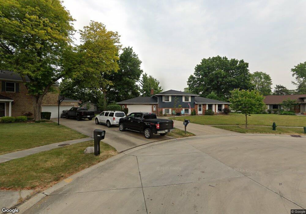
16940 Ringneck Cir Strongsville, OH 44136
Estimated Value: $335,000 - $395,000
3
Beds
3
Baths
2,246
Sq Ft
$161/Sq Ft
Est. Value
About This Home
This home is located at 16940 Ringneck Cir, Strongsville, OH 44136 and is currently estimated at $362,434, approximately $161 per square foot. 16940 Ringneck Cir is a home located in Cuyahoga County with nearby schools including Strongsville High School and Sts Joseph & John Interparochial School.
Ownership History
Date
Name
Owned For
Owner Type
Purchase Details
Closed on
May 13, 1993
Sold by
Chanson Robert A
Bought by
Winter Brian G
Current Estimated Value
Purchase Details
Closed on
Apr 26, 1991
Sold by
Sykora Kevin F
Bought by
Chanson Robert A
Purchase Details
Closed on
Feb 15, 1985
Sold by
Rauschenberg Robert D
Bought by
Sykora Kevin F
Purchase Details
Closed on
Dec 29, 1975
Bought by
Rauschenberg Robert D
Purchase Details
Closed on
Jan 1, 1975
Bought by
Production Homes Inc
Create a Home Valuation Report for This Property
The Home Valuation Report is an in-depth analysis detailing your home's value as well as a comparison with similar homes in the area
Home Values in the Area
Average Home Value in this Area
Purchase History
| Date | Buyer | Sale Price | Title Company |
|---|---|---|---|
| Winter Brian G | $125,500 | -- | |
| Chanson Robert A | $120,500 | -- | |
| Sykora Kevin F | $82,000 | -- | |
| Rauschenberg Robert D | $53,900 | -- | |
| Production Homes Inc | -- | -- |
Source: Public Records
Tax History Compared to Growth
Tax History
| Year | Tax Paid | Tax Assessment Tax Assessment Total Assessment is a certain percentage of the fair market value that is determined by local assessors to be the total taxable value of land and additions on the property. | Land | Improvement |
|---|---|---|---|---|
| 2024 | $4,941 | $105,245 | $20,265 | $84,980 |
| 2023 | $4,817 | $76,930 | $18,760 | $58,170 |
| 2022 | $4,782 | $76,930 | $18,760 | $58,170 |
| 2021 | $4,744 | $76,930 | $18,760 | $58,170 |
| 2020 | $4,395 | $63,040 | $15,370 | $47,670 |
| 2019 | $4,266 | $180,100 | $43,900 | $136,200 |
| 2018 | $3,871 | $63,040 | $15,370 | $47,670 |
| 2017 | $3,868 | $58,310 | $12,390 | $45,920 |
| 2016 | $3,837 | $58,310 | $12,390 | $45,920 |
| 2015 | $3,891 | $58,310 | $12,390 | $45,920 |
| 2014 | $3,891 | $58,310 | $12,390 | $45,920 |
Source: Public Records
Map
Nearby Homes
- 16650 Lanier Ave
- 17159 Turkey Meadow Ln
- 17024 Bear Creek Ln
- 16486 S Red Rock Dr
- 16450 Howe Rd
- 17682 Drake Rd
- 17130 Golden Star Dr
- 17069 Partridge Dr
- 18294 Drake Rd
- 18229 Howe Rd
- 15639 Indianhead Ln
- 17934 Cambridge Oval
- 18162 Fawn Cir
- 18411 Yorktown Oval
- 16711 Beech Cir
- 14826 Lenox Dr
- 14703 Lenox Dr Unit 103
- 18630 Shurmer Rd
- 19311 Bradford Ct
- 17259 Woodshire Dr
- 17068 Park Lane Dr
- 16939 Ringneck Cir
- 16942 Ringneck Cir
- 17026 Park Lane Dr
- 17110 Park Lane Dr
- 17118 Park Lane Dr
- 16943 Ringneck Cir
- 16946 Ringneck Cir
- 16949 Ringneck Cir
- 16950 Ringneck Cir
- 17022 Park Lane Dr
- 16957 Ringneck Cir
- 16699 Lanier Ave
- 16958 Ringneck Cir
- 16940 Park Lane Dr
- 17174 Park Lane Dr
- 16900 Miller Ct
- 16711 Lanier Ave
- 16963 Ringneck Cir
- 19047 Quail Hollow Dr