1696 N Porter St Waynesburg, PA 15370
Estimated Value: $218,000 - $422,000
3
Beds
2
Baths
1,634
Sq Ft
$196/Sq Ft
Est. Value
About This Home
This home is located at 1696 N Porter St, Waynesburg, PA 15370 and is currently estimated at $321,023, approximately $196 per square foot. 1696 N Porter St is a home located in Greene County with nearby schools including Waynesburg Central Elementary School, Miller Middle School, and Waynesburg Central High School.
Ownership History
Date
Name
Owned For
Owner Type
Purchase Details
Closed on
Dec 21, 2020
Sold by
Sammons Phillip D and Sammons Sheryl D
Bought by
Sammons Joseph D and Sammons Kayla M
Current Estimated Value
Home Financials for this Owner
Home Financials are based on the most recent Mortgage that was taken out on this home.
Original Mortgage
$230,000
Outstanding Balance
$204,769
Interest Rate
2.7%
Mortgage Type
VA
Estimated Equity
$116,254
Purchase Details
Closed on
Sep 15, 2011
Sold by
Perrine Charles N and Perrine Helen E
Bought by
Sammons Phillip D and Sammons Sheryl D
Home Financials for this Owner
Home Financials are based on the most recent Mortgage that was taken out on this home.
Original Mortgage
$238,250
Interest Rate
4.25%
Mortgage Type
VA
Create a Home Valuation Report for This Property
The Home Valuation Report is an in-depth analysis detailing your home's value as well as a comparison with similar homes in the area
Home Values in the Area
Average Home Value in this Area
Purchase History
| Date | Buyer | Sale Price | Title Company |
|---|---|---|---|
| Sammons Joseph D | -- | None Available | |
| Sammons Phillip D | -- | None Available |
Source: Public Records
Mortgage History
| Date | Status | Borrower | Loan Amount |
|---|---|---|---|
| Open | Sammons Joseph D | $230,000 | |
| Closed | Sammons Phillip D | $238,250 |
Source: Public Records
Tax History Compared to Growth
Tax History
| Year | Tax Paid | Tax Assessment Tax Assessment Total Assessment is a certain percentage of the fair market value that is determined by local assessors to be the total taxable value of land and additions on the property. | Land | Improvement |
|---|---|---|---|---|
| 2025 | $4,007 | $95,880 | $11,340 | $84,540 |
| 2024 | $4,007 | $95,880 | $11,340 | $84,540 |
| 2023 | $4,007 | $95,880 | $11,340 | $84,540 |
| 2022 | $4,007 | $95,880 | $11,340 | $84,540 |
| 2021 | $40 | $95,880 | $11,340 | $84,540 |
| 2020 | $3,866 | $95,880 | $11,340 | $84,540 |
| 2019 | $3,866 | $95,880 | $11,340 | $84,540 |
| 2018 | $39 | $95,880 | $11,340 | $84,540 |
| 2017 | $3,701 | $95,880 | $11,340 | $84,540 |
| 2016 | -- | $95,880 | $11,340 | $84,540 |
| 2015 | -- | $95,880 | $11,340 | $84,540 |
| 2014 | -- | $95,880 | $11,340 | $84,540 |
| 2013 | -- | $95,880 | $11,340 | $84,540 |
Source: Public Records
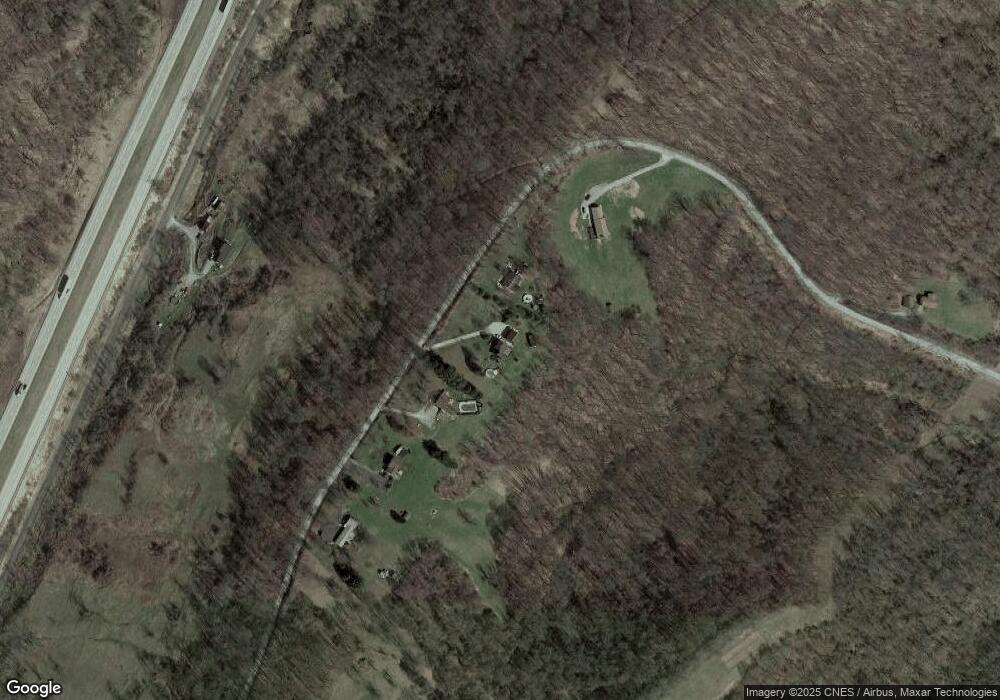
Map
Nearby Homes
- 119 Meadowbrook Rd
- 820 Sherman Ave
- 520 Bonar Ave
- 154 East Alley
- 1048 8th St
- 449 Race St
- 255 6th Ave
- 523 Braden St
- 261 Fifth Ave
- 290 Cherry St
- 95 Victoria Dr
- 665 Hillcrest Ave
- 595 N Richhill St
- 233 Second Ave
- 197 N Liberty St
- 215 1st Ave
- 664 E Greene St
- 355 Park Ave
- 272 E Lincoln St
- 41 Jefferson Estates Unit 41
- 1718 Porter St
- 1690 Porter St
- 1672 Porter St
- 1753 Porter St
- 137 Independent Ridge
- 129 Independent Ridge
- 121 Independent Ridge
- 159 Independent Ridge
- 111 Independent Rd
- 111 Independent Ridge
- 197 Independent Ridge
- 188 Independent Ridge
- 381 Greene Valley Rd
- 339 Lippencott Rd
- 241 Hemlock Rd
- 426 Locust Rd
- 121 Caldwell Rd
- 597 Valley Farm Rd
- 225 Apple Hill Rd
- 1884 Porter St