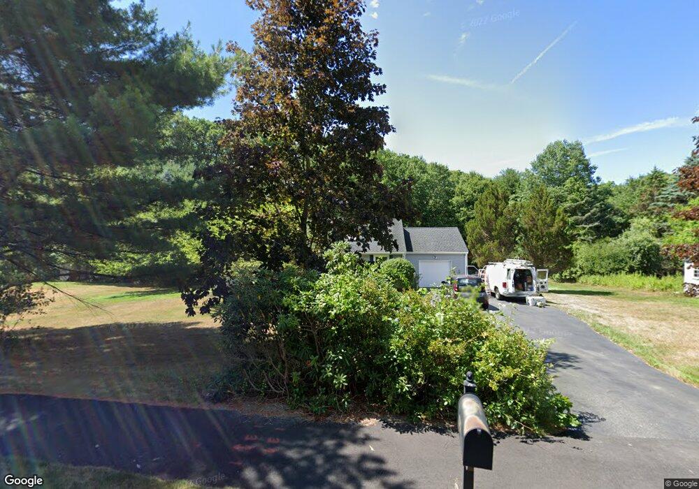
17 Autumn Rd Medway, MA 02053
Estimated Value: $620,012 - $720,000
3
Beds
2
Baths
1,480
Sq Ft
$454/Sq Ft
Est. Value
About This Home
This home is located at 17 Autumn Rd, Medway, MA 02053 and is currently estimated at $671,503, approximately $453 per square foot. 17 Autumn Rd is a home located in Norfolk County with nearby schools including John D. McGovern Elementary School, Burke-Memorial Elementary, and Medway Middle School.
Ownership History
Date
Name
Owned For
Owner Type
Purchase Details
Closed on
Nov 18, 2019
Sold by
Ormsbee Charles P and Ormsbee Lilia G
Bought by
Ormsbec Lt
Current Estimated Value
Purchase Details
Closed on
Mar 29, 1995
Sold by
Dubrawski Gail E
Bought by
Ormsbee Charles P and Ormsbee Lilia G
Purchase Details
Closed on
Oct 18, 1993
Sold by
Eagan Richard E and Eagan Tricia G
Bought by
Dubrawski Gail E
Purchase Details
Closed on
Dec 30, 1987
Sold by
Schneider Fred
Bought by
Egan Richard E
Purchase Details
Closed on
Aug 4, 1987
Sold by
Kim Heecheol
Bought by
Schneider Fred
Create a Home Valuation Report for This Property
The Home Valuation Report is an in-depth analysis detailing your home's value as well as a comparison with similar homes in the area
Home Values in the Area
Average Home Value in this Area
Purchase History
| Date | Buyer | Sale Price | Title Company |
|---|---|---|---|
| Ormsbec Lt | -- | None Available | |
| Ormsbee Charles P | $158,000 | -- | |
| Ormsbee Charles P | $158,000 | -- | |
| Dubrawski Gail E | $155,250 | -- | |
| Dubrawski Gail E | $155,250 | -- | |
| Egan Richard E | $169,000 | -- | |
| Schneider Fred | $154,900 | -- |
Source: Public Records
Mortgage History
| Date | Status | Borrower | Loan Amount |
|---|---|---|---|
| Previous Owner | Schneider Fred | $11,000 | |
| Previous Owner | Schneider Fred | $123,500 |
Source: Public Records
Tax History Compared to Growth
Tax History
| Year | Tax Paid | Tax Assessment Tax Assessment Total Assessment is a certain percentage of the fair market value that is determined by local assessors to be the total taxable value of land and additions on the property. | Land | Improvement |
|---|---|---|---|---|
| 2025 | $7,263 | $509,700 | $306,500 | $203,200 |
| 2024 | $7,340 | $509,700 | $306,500 | $203,200 |
| 2023 | $6,759 | $424,000 | $254,200 | $169,800 |
| 2022 | $5,805 | $342,900 | $225,900 | $117,000 |
| 2021 | $6,307 | $361,200 | $208,500 | $152,700 |
| 2020 | $6,050 | $345,700 | $193,300 | $152,400 |
| 2019 | $5,765 | $339,700 | $193,300 | $146,400 |
| 2018 | $5,561 | $314,900 | $184,600 | $130,300 |
| 2017 | $5,319 | $296,800 | $178,000 | $118,800 |
| 2016 | $5,565 | $307,300 | $171,500 | $135,800 |
| 2015 | $5,499 | $301,500 | $158,400 | $143,100 |
| 2014 | $5,117 | $271,600 | $160,000 | $111,600 |
Source: Public Records
Map
Nearby Homes
- 15 Broad Acres Farm Rd
- 4 Deerfield Rd
- 78 Fisher St
- 12 Longmeadow Ln
- 85 Fisher St
- 6 Freedom Trail
- 6 Rainbow Dr
- 39 West St
- 5 Fales St
- 220 Main St Unit 220
- 176 Main St Unit 3
- 22 Granite St
- 9 Tulip Way
- 28 Wellington St
- 56 Paul Rd
- 116 Winthrop St
- 14 Heritage Dr
- 462 Hartford Ave
- 0 Old Log Lane (Farm St) Unit 73416329
- 455 Hartford Ave