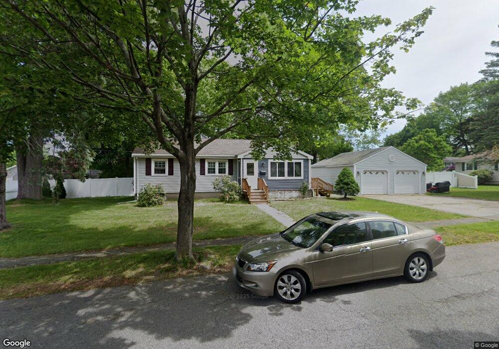
17 Clearwater Rd Peabody, MA 01960
West Peabody NeighborhoodEstimated Value: $591,000 - $686,000
3
Beds
2
Baths
1,082
Sq Ft
$600/Sq Ft
Est. Value
About This Home
This home is located at 17 Clearwater Rd, Peabody, MA 01960 and is currently estimated at $648,720, approximately $599 per square foot. 17 Clearwater Rd is a home located in Essex County with nearby schools including Peabody Veterans Memorial High School and Covenant Christian Academy.
Ownership History
Date
Name
Owned For
Owner Type
Purchase Details
Closed on
Jun 22, 2007
Sold by
Dambrosio Elizabeth T and Dambrosio Peter A
Bought by
Jusufovic Mihret and Jusufovic Snezana
Current Estimated Value
Home Financials for this Owner
Home Financials are based on the most recent Mortgage that was taken out on this home.
Original Mortgage
$276,000
Outstanding Balance
$168,425
Interest Rate
6.14%
Mortgage Type
Purchase Money Mortgage
Estimated Equity
$480,295
Create a Home Valuation Report for This Property
The Home Valuation Report is an in-depth analysis detailing your home's value as well as a comparison with similar homes in the area
Home Values in the Area
Average Home Value in this Area
Purchase History
| Date | Buyer | Sale Price | Title Company |
|---|---|---|---|
| Jusufovic Mihret | $345,000 | -- |
Source: Public Records
Mortgage History
| Date | Status | Borrower | Loan Amount |
|---|---|---|---|
| Open | Jusufovic Mihret | $276,000 | |
| Closed | Jusufovic Mihret | $51,750 |
Source: Public Records
Tax History Compared to Growth
Tax History
| Year | Tax Paid | Tax Assessment Tax Assessment Total Assessment is a certain percentage of the fair market value that is determined by local assessors to be the total taxable value of land and additions on the property. | Land | Improvement |
|---|---|---|---|---|
| 2025 | $5,200 | $561,600 | $319,100 | $242,500 |
| 2024 | $4,898 | $537,100 | $319,100 | $218,000 |
| 2023 | $4,699 | $493,600 | $266,000 | $227,600 |
| 2022 | $4,416 | $437,200 | $231,300 | $205,900 |
| 2021 | $4,112 | $392,000 | $210,300 | $181,700 |
| 2020 | $4,018 | $374,100 | $210,300 | $163,800 |
| 2019 | $4,188 | $380,400 | $210,300 | $170,100 |
| 2018 | $4,014 | $350,300 | $187,700 | $162,600 |
| 2017 | $3,873 | $329,300 | $187,700 | $141,600 |
| 2016 | $3,746 | $314,300 | $187,700 | $126,600 |
| 2015 | $3,604 | $293,000 | $187,700 | $105,300 |
Source: Public Records
Map
Nearby Homes
- 35 Grey Ln
- 17 Samoset Rd
- 25 Chatham Way
- 37 Grey Ln
- 7 Yorkshire Dr
- 17 Plymouth Rd
- 8 Ivanhoe Dr
- 973 Main St
- 1 Maddabon Place
- 20 Pine Hill Rd
- 35 Catherine Dr
- 106 Winona St
- 8 Elginwood Rd
- 33 Wing Rd
- 70 Forest Hill Ave
- 64 Forest Hill Ave
- 12 Manor Dr
- 1 Ashley Ct
- 19 Fairway Ln Unit 53
- 1 Stableford Ct Unit 13
- 37 Bradford Rd
- 19 Clearwater Rd
- 15 Clearwater Rd
- 20 Clearwater Rd
- 35 Bradford Rd
- 39 Bradford Rd
- 18 Clearwater Rd
- 22 Clearwater Rd
- 13 Clearwater Rd
- 21 Clearwater Rd
- 21 Perley Ave
- 41 Bradford Rd
- 33 Bradford Rd
- 16 Clearwater Rd
- 19 Perley Ave
- 23 Perley Ave
- 36 Bradford Rd
- 24 Clearwater Rd
- 4 Packard Rd
- 6 Packard Rd