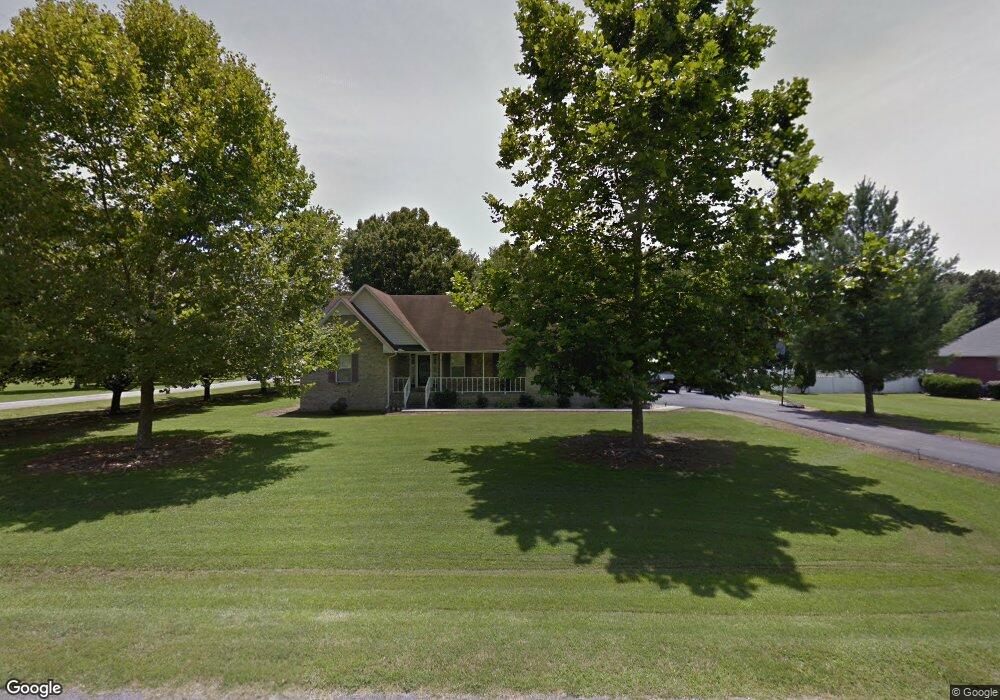
17 Country Air Ln Manchester, TN 37355
Estimated Value: $326,000 - $422,747
--
Bed
3
Baths
1,841
Sq Ft
$207/Sq Ft
Est. Value
About This Home
This home is located at 17 Country Air Ln, Manchester, TN 37355 and is currently estimated at $381,437, approximately $207 per square foot. 17 Country Air Ln is a home located in Coffee County with nearby schools including New Union Elementary School, Coffee County Middle School, and Coffee County Central High School.
Ownership History
Date
Name
Owned For
Owner Type
Purchase Details
Closed on
Apr 24, 2025
Sold by
Swayze Bobby E and Swayze Betty D
Bought by
Bobby Eugene Swayze And Betty Darlene Swayze and Swayze
Current Estimated Value
Purchase Details
Closed on
Jul 2, 2002
Sold by
Fellers Timothy A and Fellers Tara A
Bought by
Sheets Dan and Sheets Doris
Purchase Details
Closed on
Apr 12, 1996
Sold by
Freeze Ronnie
Bought by
Fellers Timothy and Fellers Paula
Purchase Details
Closed on
Nov 2, 1994
Bought by
Freeze Ronnie Dorothy
Create a Home Valuation Report for This Property
The Home Valuation Report is an in-depth analysis detailing your home's value as well as a comparison with similar homes in the area
Home Values in the Area
Average Home Value in this Area
Purchase History
| Date | Buyer | Sale Price | Title Company |
|---|---|---|---|
| Bobby Eugene Swayze And Betty Darlene Swayze | -- | None Listed On Document | |
| Sheets Dan | $127,500 | -- | |
| Fellers Timothy | $105,045 | -- | |
| Freeze Ronnie Dorothy | $92,500 | -- |
Source: Public Records
Tax History Compared to Growth
Tax History
| Year | Tax Paid | Tax Assessment Tax Assessment Total Assessment is a certain percentage of the fair market value that is determined by local assessors to be the total taxable value of land and additions on the property. | Land | Improvement |
|---|---|---|---|---|
| 2024 | $1,575 | $67,575 | $5,000 | $62,575 |
| 2023 | $1,575 | $67,575 | $0 | $0 |
| 2022 | $1,575 | $67,575 | $5,000 | $62,575 |
| 2021 | $1,517 | $51,725 | $3,750 | $47,975 |
| 2020 | $1,517 | $51,725 | $3,750 | $47,975 |
| 2019 | $1,517 | $51,725 | $3,750 | $47,975 |
| 2018 | $1,517 | $51,725 | $3,750 | $47,975 |
| 2017 | $1,459 | $44,725 | $3,750 | $40,975 |
| 2016 | $1,218 | $44,725 | $3,750 | $40,975 |
| 2015 | $1,218 | $37,325 | $3,750 | $33,575 |
| 2014 | $1,218 | $37,323 | $0 | $0 |
Source: Public Records
Map
Nearby Homes
- 2635 Pete Sain Rd
- 837 Circle Dr
- 781 Circle Dr
- 670 Old McMinnville Hwy
- 4282 McMinnville Hwy Unit 4270
- 0 Pete Sain Rd
- 363 Willow Brook Dr
- 300 Willow Brook Dr
- 667 Pete Sain Rd
- 3313 McMinnville Hwy
- 621 Brandon Rd
- 499 Ridgewood Dr
- 1270 Taylor Rd
- 493 Maple Springs Rd
- 166 Keele Rd
- 2498 Sp Anderson Rd
- 106 Rigney Rd
- 676 Riddle Rd
- 220 Winton Way Rd
- 7807 McMinnville Hwy Unit 7807
- 49 Country Air Ln
- 208 Wright Rd
- 243 Wright Rd
- 143 Wright Rd
- 46 Country Air Ln
- 79 Country Air Ln
- 0 Wright Rd
- 119 Wright Rd
- 74 Country Air Ln
- 160 Wright Rd
- 103 Country Air Ln
- 270 Wright Rd
- 106 Country Air Ln
- 129 Country Air Ln
- 128 Country Air Ln
- 159 Country Air Ln
- 162 Country Air Ln
- 338 Wright Rd
- 189 Country Air Ln
- 2161 Wayside Rd