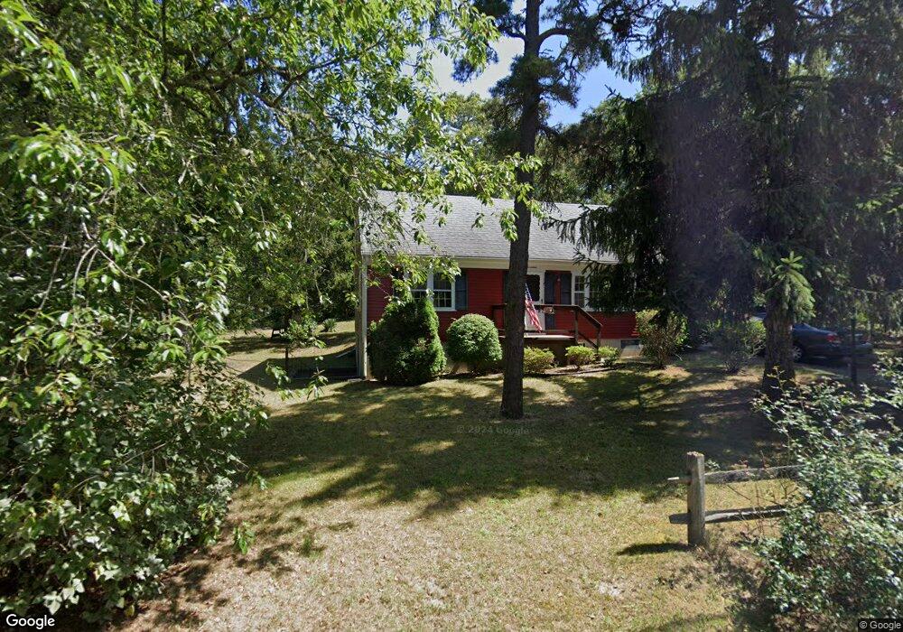
17 Elliot Way Harwich, MA 02645
East Harwich NeighborhoodEstimated Value: $578,000 - $787,000
3
Beds
2
Baths
1,512
Sq Ft
$449/Sq Ft
Est. Value
About This Home
This home is located at 17 Elliot Way, Harwich, MA 02645 and is currently estimated at $678,879, approximately $448 per square foot. 17 Elliot Way is a home located in Barnstable County with nearby schools including Chatham Elementary School, Harwich Elementary School, and Monomoy Regional Middle School.
Ownership History
Date
Name
Owned For
Owner Type
Purchase Details
Closed on
Jul 22, 2024
Sold by
Graupner Carolyn R and Graupner David R
Bought by
Graupner Ft and Graupner
Current Estimated Value
Purchase Details
Closed on
Mar 28, 2019
Sold by
Anderson Robert C and Anderson Thomas R
Bought by
Morrell Bryan and Morrell Nicole
Home Financials for this Owner
Home Financials are based on the most recent Mortgage that was taken out on this home.
Original Mortgage
$232,000
Interest Rate
4.3%
Mortgage Type
New Conventional
Create a Home Valuation Report for This Property
The Home Valuation Report is an in-depth analysis detailing your home's value as well as a comparison with similar homes in the area
Home Values in the Area
Average Home Value in this Area
Purchase History
| Date | Buyer | Sale Price | Title Company |
|---|---|---|---|
| Graupner Ft | -- | None Available | |
| Graupner Ft | -- | None Available | |
| Morrell Bryan | $290,000 | -- |
Source: Public Records
Mortgage History
| Date | Status | Borrower | Loan Amount |
|---|---|---|---|
| Previous Owner | Morrell Bryan | $232,000 |
Source: Public Records
Tax History Compared to Growth
Tax History
| Year | Tax Paid | Tax Assessment Tax Assessment Total Assessment is a certain percentage of the fair market value that is determined by local assessors to be the total taxable value of land and additions on the property. | Land | Improvement |
|---|---|---|---|---|
| 2025 | $3,124 | $528,600 | $198,800 | $329,800 |
| 2024 | $2,920 | $484,200 | $168,800 | $315,400 |
| 2023 | $2,821 | $424,900 | $153,400 | $271,500 |
| 2022 | $2,781 | $342,900 | $133,400 | $209,500 |
| 2021 | $2,689 | $312,700 | $121,300 | $191,400 |
| 2020 | $2,659 | $304,600 | $120,000 | $184,600 |
| 2019 | $2,556 | $294,800 | $113,800 | $181,000 |
| 2018 | $2,491 | $274,800 | $103,500 | $171,300 |
| 2017 | $2,357 | $262,800 | $94,300 | $168,500 |
| 2016 | $2,301 | $253,700 | $94,300 | $159,400 |
| 2015 | $2,235 | $249,200 | $92,500 | $156,700 |
| 2014 | $2,122 | $242,000 | $89,700 | $152,300 |
Source: Public Records
Map
Nearby Homes
- 33 Pine Orchard Rd
- 104 Wayside Dr
- 0 S Orleans Rd
- 152 Pleasant Bay Rd
- 36 Tar Kiln Rd
- 6 Levi's Ln
- 76 Williamsburg Ave
- 16 Partridge Ln
- 645 S Orleans Rd
- 47 Whidah Dr
- Lot 2 Round Cove Rd
- 3 Seagull Ln
- 0 Pine Grove Rd Unit 73397945
- 0 Pine Grove Rd Unit 22505629
- 558 Riverview Dr
- 58 Sugar Hill Dr
- 77 Towhee Ln
- 34 Lake Dr
- 0 Crows Pond Rd
- 33 Duck Marsh Ln