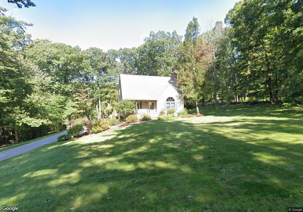
17 Tetrault Rd Stafford Springs, CT 06076
Stafford NeighborhoodEstimated Value: $418,917 - $446,000
3
Beds
3
Baths
1,919
Sq Ft
$225/Sq Ft
Est. Value
About This Home
This home is located at 17 Tetrault Rd, Stafford Springs, CT 06076 and is currently estimated at $430,979, approximately $224 per square foot. 17 Tetrault Rd is a home located in Tolland County with nearby schools including Stafford Elementary School, Stafford Middle School, and Stafford High School.
Ownership History
Date
Name
Owned For
Owner Type
Purchase Details
Closed on
Jul 14, 1992
Sold by
Bobey Michael
Bought by
Lemek Garrett and Lemek Robin
Current Estimated Value
Home Financials for this Owner
Home Financials are based on the most recent Mortgage that was taken out on this home.
Original Mortgage
$125,900
Interest Rate
8.5%
Mortgage Type
Unknown
Purchase Details
Closed on
Apr 8, 1992
Sold by
Bobey Michael and Bobey Debra
Bought by
Holstein Calvin
Create a Home Valuation Report for This Property
The Home Valuation Report is an in-depth analysis detailing your home's value as well as a comparison with similar homes in the area
Home Values in the Area
Average Home Value in this Area
Purchase History
| Date | Buyer | Sale Price | Title Company |
|---|---|---|---|
| Lemek Garrett | $139,750 | -- | |
| Holstein Calvin | $100,000 | -- |
Source: Public Records
Mortgage History
| Date | Status | Borrower | Loan Amount |
|---|---|---|---|
| Closed | Holstein Calvin | $82,000 | |
| Closed | Holstein Calvin | $115,000 | |
| Closed | Holstein Calvin | $120,000 | |
| Closed | Holstein Calvin | $125,900 |
Source: Public Records
Tax History Compared to Growth
Tax History
| Year | Tax Paid | Tax Assessment Tax Assessment Total Assessment is a certain percentage of the fair market value that is determined by local assessors to be the total taxable value of land and additions on the property. | Land | Improvement |
|---|---|---|---|---|
| 2025 | $10,476 | $174,790 | $34,300 | $140,490 |
| 2024 | $6,745 | $174,790 | $34,300 | $140,490 |
| 2023 | $6,425 | $174,790 | $34,300 | $140,490 |
| 2022 | $6,254 | $174,790 | $34,300 | $140,490 |
| 2021 | $6,105 | $174,790 | $34,300 | $140,490 |
| 2020 | $5,695 | $163,030 | $36,190 | $126,840 |
| 2019 | $5,695 | $163,030 | $36,190 | $126,840 |
| 2018 | $5,585 | $163,030 | $36,190 | $126,840 |
| 2017 | $5,532 | $163,030 | $36,190 | $126,840 |
| 2016 | $5,463 | $163,030 | $36,190 | $126,840 |
| 2015 | $5,463 | $194,740 | $36,190 | $158,550 |
| 2014 | $6,432 | $194,740 | $36,190 | $158,550 |
Source: Public Records
Map
Nearby Homes
- 201 Diamond Ledge Rd
- 19 Potter Rd
- 5 Thomas Dr
- 188B W Stafford Rd
- 0 Rockledge Rd Unit 24131563
- 115 W Stafford Rd
- 93 Galbraith Rd
- 80 W Stafford Rd
- 1040 Main St
- 81 Monson Rd
- 89 Crow Hill Rd
- 97 Orcuttville Rd
- 994 Main St
- 1000 Main St
- 10 Laurel Ln
- 200 Orcuttville Rd
- 73 Cooper Ln
- 8 Gale Rd
- 15 Deepwood Dr
- 20 Old Birch Rd