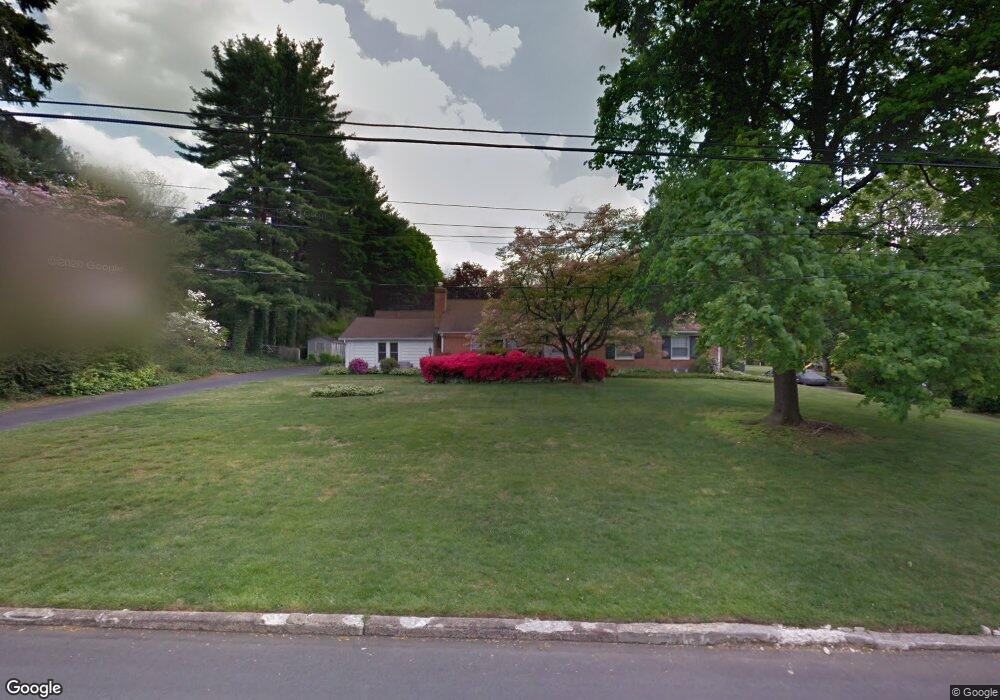
17 Williams Rd Haverford, PA 19041
Estimated Value: $940,000 - $1,177,000
4
Beds
4
Baths
3,210
Sq Ft
$336/Sq Ft
Est. Value
About This Home
This home is located at 17 Williams Rd, Haverford, PA 19041 and is currently estimated at $1,079,672, approximately $336 per square foot. 17 Williams Rd is a home located in Delaware County with nearby schools including Coopertown Elementary School, Haverford Middle School, and Haverford Senior High School.
Ownership History
Date
Name
Owned For
Owner Type
Purchase Details
Closed on
Jan 20, 1998
Sold by
Fpb Real Estate Corp
Bought by
Schwelm Robert P and Schwelm Anne P
Current Estimated Value
Home Financials for this Owner
Home Financials are based on the most recent Mortgage that was taken out on this home.
Original Mortgage
$198,750
Outstanding Balance
$34,402
Interest Rate
7.11%
Estimated Equity
$1,045,270
Purchase Details
Closed on
Oct 29, 1996
Sold by
Osborne Ann
Bought by
Fpb Real Estate Corp
Create a Home Valuation Report for This Property
The Home Valuation Report is an in-depth analysis detailing your home's value as well as a comparison with similar homes in the area
Home Values in the Area
Average Home Value in this Area
Purchase History
| Date | Buyer | Sale Price | Title Company |
|---|---|---|---|
| Schwelm Robert P | $265,000 | Commonwealth Land Title Ins | |
| Fpb Real Estate Corp | -- | -- |
Source: Public Records
Mortgage History
| Date | Status | Borrower | Loan Amount |
|---|---|---|---|
| Open | Schwelm Robert P | $198,750 |
Source: Public Records
Tax History Compared to Growth
Tax History
| Year | Tax Paid | Tax Assessment Tax Assessment Total Assessment is a certain percentage of the fair market value that is determined by local assessors to be the total taxable value of land and additions on the property. | Land | Improvement |
|---|---|---|---|---|
| 2025 | $14,991 | $583,040 | $217,680 | $365,360 |
| 2024 | $14,991 | $583,040 | $217,680 | $365,360 |
| 2023 | $14,566 | $583,040 | $217,680 | $365,360 |
| 2022 | $14,225 | $583,040 | $217,680 | $365,360 |
| 2021 | $23,174 | $583,040 | $217,680 | $365,360 |
| 2020 | $14,658 | $315,370 | $107,970 | $207,400 |
| 2019 | $14,388 | $315,370 | $107,970 | $207,400 |
| 2018 | $14,141 | $315,370 | $0 | $0 |
| 2017 | $13,841 | $315,370 | $0 | $0 |
| 2016 | $1,731 | $315,370 | $0 | $0 |
| 2015 | $1,731 | $315,370 | $0 | $0 |
| 2014 | $1,731 | $315,370 | $0 | $0 |
Source: Public Records
Map
Nearby Homes
- 53 Parkridge Dr
- 40 Parkridge Dr Unit 40
- 6 Duncan Ln
- 4105 Parkview Dr
- 633 Foxfields Rd
- 202 Summit Dr Unit B
- 103 Summit Dr Unit B
- 306 Summit Dr
- 501 College Ave
- 234 Valley Ridge Rd
- 133 Quaker Ln
- 200 Marple Rd
- 173 Clemson Rd
- 145 Landover Rd
- 258 Lee Cir
- 390 S Bryn Mawr Ave
- 345 Ellis Rd
- 408 Barbara Ln Unit B
- 215 Cornell Dr
- 560 S Bryn Mawr Ave