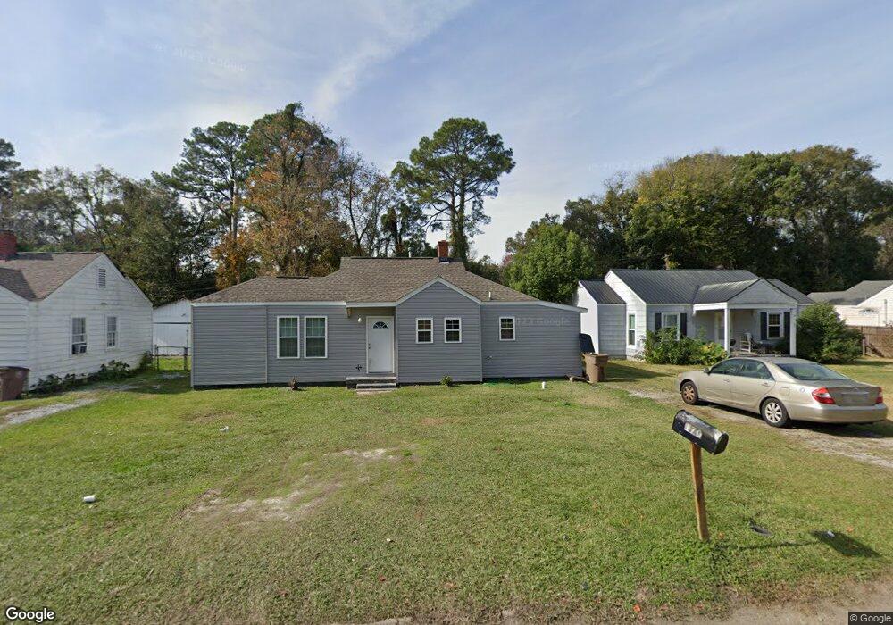
170 Dunn Ave Mobile, AL 36606
Midtown Mobile NeighborhoodEstimated Value: $78,127 - $138,000
3
Beds
1
Bath
1,056
Sq Ft
$107/Sq Ft
Est. Value
About This Home
This home is located at 170 Dunn Ave, Mobile, AL 36606 and is currently estimated at $112,782, approximately $106 per square foot. 170 Dunn Ave is a home located in Mobile County with nearby schools including Westlawn Elementary School, Booker T. Washington Middle School, and Murphy High School.
Ownership History
Date
Name
Owned For
Owner Type
Purchase Details
Closed on
Sep 25, 2008
Sold by
Darrington Erica L
Bought by
Daffin Kenneth
Current Estimated Value
Purchase Details
Closed on
Nov 27, 2002
Sold by
Hayes Charles E and Hayes Barbara C
Bought by
Daffin Kenneth and Darrington Erica L
Home Financials for this Owner
Home Financials are based on the most recent Mortgage that was taken out on this home.
Original Mortgage
$58,974
Interest Rate
6.3%
Mortgage Type
FHA
Purchase Details
Closed on
Nov 20, 1998
Sold by
Coates Rebecca L and Coates Rebecca C
Bought by
Hayes Charles E and Hayes Barbara C
Create a Home Valuation Report for This Property
The Home Valuation Report is an in-depth analysis detailing your home's value as well as a comparison with similar homes in the area
Home Values in the Area
Average Home Value in this Area
Purchase History
| Date | Buyer | Sale Price | Title Company |
|---|---|---|---|
| Daffin Kenneth | -- | None Available | |
| Daffin Kenneth | -- | -- | |
| Hayes Charles E | -- | -- |
Source: Public Records
Mortgage History
| Date | Status | Borrower | Loan Amount |
|---|---|---|---|
| Previous Owner | Daffin Kenneth | $58,974 |
Source: Public Records
Tax History Compared to Growth
Tax History
| Year | Tax Paid | Tax Assessment Tax Assessment Total Assessment is a certain percentage of the fair market value that is determined by local assessors to be the total taxable value of land and additions on the property. | Land | Improvement |
|---|---|---|---|---|
| 2024 | $748 | $5,430 | $1,400 | $4,030 |
| 2023 | $700 | $4,740 | $1,320 | $3,420 |
| 2022 | $0 | $4,360 | $1,100 | $3,260 |
| 2021 | $0 | $4,360 | $1,100 | $3,260 |
| 2020 | $0 | $4,360 | $1,100 | $3,260 |
| 2019 | $0 | $4,820 | $1,700 | $3,120 |
| 2018 | $0 | $4,820 | $0 | $0 |
| 2017 | $0 | $4,820 | $0 | $0 |
| 2016 | -- | $5,520 | $0 | $0 |
| 2013 | $771 | $11,880 | $0 | $0 |
Source: Public Records
Map
Nearby Homes
- 177 Glenn Ave
- 2851 Potter Dr
- 2855 Ralston Rd
- 2858 Thornhill Dr
- 2715 Briley St
- 2713 Briley St
- 2869 Ralston Rd
- 2867 Thornhill Dr
- 167 E Collins St
- 178 Rhea Ave
- 155 E Collins St
- 2765 S Sherwood Dr
- 2903 Brierwood Dr
- 2663 Foreman Cir
- 321 Thornhill Cir
- 2700 Emogene St
- 2667 Emogene St
- 341 S Sage Ave
- 3005 Ralston Rd
- 2806 Exter Dr