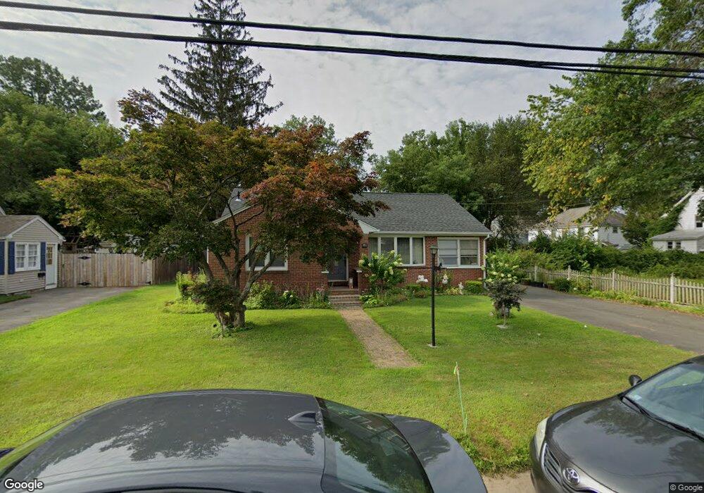
170 Howard St Ludlow, MA 01056
Estimated Value: $295,000 - $358,000
3
Beds
1
Bath
1,204
Sq Ft
$267/Sq Ft
Est. Value
About This Home
This home is located at 170 Howard St, Ludlow, MA 01056 and is currently estimated at $321,888, approximately $267 per square foot. 170 Howard St is a home located in Hampden County with nearby schools including East Street Elementary School, Chapin Street Elementary School, and Paul R. Baird Middle School.
Ownership History
Date
Name
Owned For
Owner Type
Purchase Details
Closed on
May 28, 2008
Sold by
Regadas David S and Regadas Maria L
Bought by
Regadas David S and Regadas Fernando B
Current Estimated Value
Purchase Details
Closed on
Dec 4, 2000
Sold by
Swol Nancy and Martin Patricia
Bought by
Regadas David S and Regadas Maria L
Home Financials for this Owner
Home Financials are based on the most recent Mortgage that was taken out on this home.
Original Mortgage
$90,000
Interest Rate
7.76%
Mortgage Type
Purchase Money Mortgage
Create a Home Valuation Report for This Property
The Home Valuation Report is an in-depth analysis detailing your home's value as well as a comparison with similar homes in the area
Home Values in the Area
Average Home Value in this Area
Purchase History
| Date | Buyer | Sale Price | Title Company |
|---|---|---|---|
| Regadas David S | -- | -- | |
| Regadas David S | -- | -- | |
| Regadas David S | $126,000 | -- | |
| Regadas David S | $126,000 | -- |
Source: Public Records
Mortgage History
| Date | Status | Borrower | Loan Amount |
|---|---|---|---|
| Previous Owner | Regadas David S | $90,000 |
Source: Public Records
Tax History Compared to Growth
Tax History
| Year | Tax Paid | Tax Assessment Tax Assessment Total Assessment is a certain percentage of the fair market value that is determined by local assessors to be the total taxable value of land and additions on the property. | Land | Improvement |
|---|---|---|---|---|
| 2025 | $4,608 | $265,600 | $72,300 | $193,300 |
| 2024 | $4,369 | $241,500 | $72,300 | $169,200 |
| 2023 | $4,154 | $212,900 | $63,400 | $149,500 |
| 2022 | $3,948 | $197,500 | $63,400 | $134,100 |
| 2021 | $3,953 | $187,500 | $63,400 | $124,100 |
| 2020 | $3,786 | $183,600 | $62,500 | $121,100 |
| 2019 | $3,522 | $177,700 | $61,900 | $115,800 |
| 2018 | $3,300 | $173,600 | $61,900 | $111,700 |
| 2017 | $3,226 | $174,100 | $60,000 | $114,100 |
| 2016 | $3,098 | $170,900 | $58,800 | $112,100 |
| 2015 | $2,938 | $169,900 | $58,200 | $111,700 |
Source: Public Records
Map
Nearby Homes
- 24 Elm St
- 287 East St
- 41 Orchard St
- 87 Haviland St
- 45 Meadow St
- 32 Berkshire St
- 32 White St
- 37 Franklin St
- 0 Center St Unit 73415933
- 415 Winsor St
- 148 Yale St
- 0 Fuller St Unit 73409741
- 70 Fuller St
- 84 Fuller St Unit 1
- 142 Amherst St
- 0 Parker St (Ws) Unit 73388310
- 98 Fuller St Unit 32
- 13 - 13.5 Weston St
- 42 Loopley St
- 60 Loopley St
- 178 Howard St
- 94 Oak St
- 17 Birch St
- 21 Birch St Unit 23
- 11 Birch St Unit left side
- 11 Birch St Unit 13
- 27 Birch St
- 88 Oak St Unit 90
- 31 Birch St Unit 33
- 82 Oak St
- 184 Howard St
- 39 Birch St
- 144 Howard St
- 14 Birch St Unit 16
- 20 Birch St
- 10 Birch St
- 91 Oak St
- 70 Oak St
- 26 Birch St Unit 28
- 186 Howard St