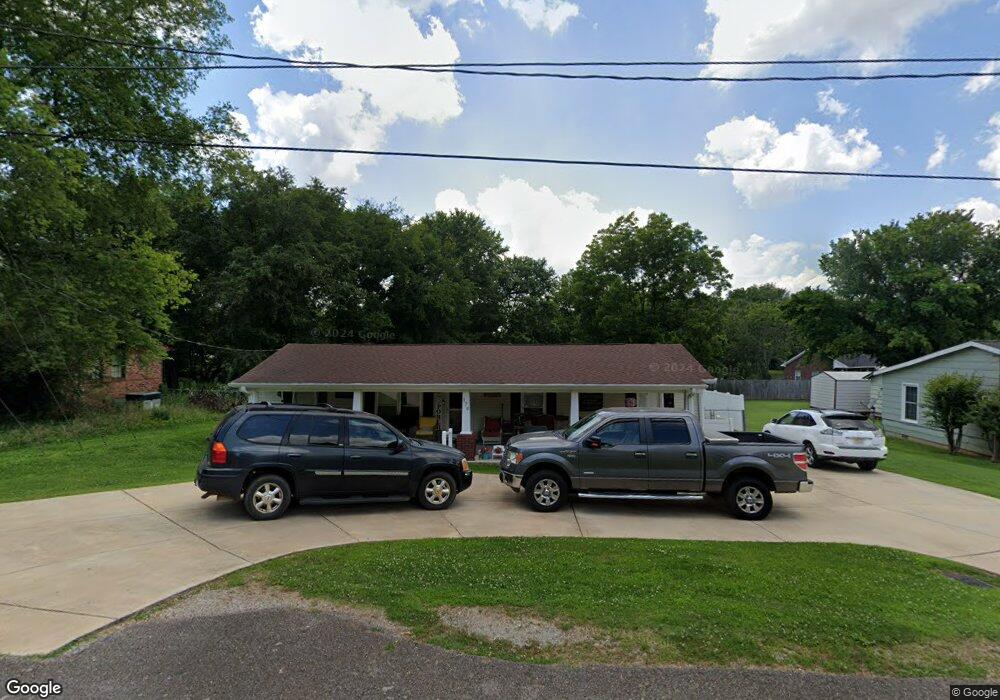
170 Hurricane Rd New Market, AL 35761
Estimated Value: $160,000 - $310,000
--
Bed
--
Bath
1,496
Sq Ft
$153/Sq Ft
Est. Value
About This Home
This home is located at 170 Hurricane Rd, New Market, AL 35761 and is currently estimated at $228,616, approximately $152 per square foot. 170 Hurricane Rd is a home with nearby schools including New Market School, Buckhorn Middle School, and Buckhorn High School.
Ownership History
Date
Name
Owned For
Owner Type
Purchase Details
Closed on
Jun 19, 2024
Sold by
Thompson Brittany P
Bought by
Jones Matthew Ryan
Current Estimated Value
Purchase Details
Closed on
Oct 27, 2022
Sold by
Jones Robert
Bought by
Jones Matthew R and Thompson Brittany P
Home Financials for this Owner
Home Financials are based on the most recent Mortgage that was taken out on this home.
Original Mortgage
$167,549
Interest Rate
6.92%
Mortgage Type
New Conventional
Purchase Details
Closed on
May 7, 2021
Sold by
Mato Pamela L and Jones Pamela L
Bought by
Jones Robert
Create a Home Valuation Report for This Property
The Home Valuation Report is an in-depth analysis detailing your home's value as well as a comparison with similar homes in the area
Home Values in the Area
Average Home Value in this Area
Purchase History
| Date | Buyer | Sale Price | Title Company |
|---|---|---|---|
| Jones Matthew Ryan | -- | None Listed On Document | |
| Jones Matthew R | $145,000 | -- | |
| Jones Robert | -- | None Available | |
| Jones Robert | -- | None Available |
Source: Public Records
Mortgage History
| Date | Status | Borrower | Loan Amount |
|---|---|---|---|
| Previous Owner | Jones Matthew R | $167,549 |
Source: Public Records
Tax History Compared to Growth
Tax History
| Year | Tax Paid | Tax Assessment Tax Assessment Total Assessment is a certain percentage of the fair market value that is determined by local assessors to be the total taxable value of land and additions on the property. | Land | Improvement |
|---|---|---|---|---|
| 2024 | $486 | $14,320 | $720 | $13,600 |
| 2023 | $473 | $13,680 | $720 | $12,960 |
| 2022 | $404 | $12,440 | $720 | $11,720 |
| 2021 | $370 | $11,520 | $720 | $10,800 |
| 2020 | $343 | $10,760 | $720 | $10,040 |
| 2019 | $329 | $10,390 | $720 | $9,670 |
| 2018 | $304 | $9,700 | $0 | $0 |
| 2017 | $304 | $9,700 | $0 | $0 |
| 2016 | $304 | $9,700 | $0 | $0 |
| 2015 | $304 | $9,700 | $0 | $0 |
| 2014 | $300 | $9,600 | $0 | $0 |
Source: Public Records
Map
Nearby Homes
- 125 Larkin St
- 5148-B Winchester Rd
- 1 AC Winchester Rd
- 0.5 ac Winchester Rd Unit .50 ac
- 5148 Winchester Rd
- 0 New Market Rd Beth Rd Rd
- 504 Hurricane Rd
- 102 Harpeth Dr
- 102 Shelburne Cir
- 967 Beth Rd
- 165 Saddle St
- 180 Saddle St
- 160 Saddle St
- 170 Saddle St
- 105 Sickle Mower Cir
- 103 Tanner Drake Ct
- 166 Lincoln Gray Cir
- 168 Lincoln Gray Cir
- ROCKDALE Saddle St
- 206 Six Pence Ct
- 205 Cochran St
- 203 Cochran St
- 180 Hurricane Rd
- 156 Hurricane Rd
- 203 Woodland St
- 205 Woodland St
- 193 Hurricane Rd
- 207 Woodland St
- 146 Hurricane Rd
- 138 Hurricane Rd
- 209 Woodland St
- 202 Woodland St
- 200 Hurricane Rd
- 100 Gwen Dr
- 101 Gwen Dr
- 105 Cochran St
- 154 Larkin St
- 211 Woodland St
- 146 Larkin St
- 103 Cochran St