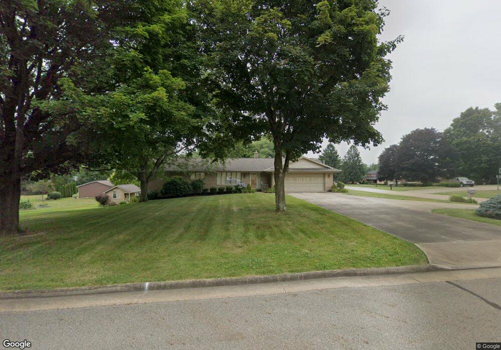
1700 Cedar St Louisville, OH 44641
Estimated Value: $256,000 - $284,000
3
Beds
3
Baths
1,976
Sq Ft
$138/Sq Ft
Est. Value
About This Home
This home is located at 1700 Cedar St, Louisville, OH 44641 and is currently estimated at $273,159, approximately $138 per square foot. 1700 Cedar St is a home located in Stark County with nearby schools including Louisville High School and St. Thomas Aquinas High School & Middle School.
Ownership History
Date
Name
Owned For
Owner Type
Purchase Details
Closed on
Aug 15, 2025
Sold by
Snyder Delores M and Snyder Dolores M
Bought by
Gotschall James A and Gotschall Linda G
Current Estimated Value
Home Financials for this Owner
Home Financials are based on the most recent Mortgage that was taken out on this home.
Original Mortgage
$202,500
Outstanding Balance
$202,145
Interest Rate
6.67%
Mortgage Type
New Conventional
Estimated Equity
$71,014
Create a Home Valuation Report for This Property
The Home Valuation Report is an in-depth analysis detailing your home's value as well as a comparison with similar homes in the area
Home Values in the Area
Average Home Value in this Area
Purchase History
| Date | Buyer | Sale Price | Title Company |
|---|---|---|---|
| Gotschall James A | $270,000 | None Listed On Document |
Source: Public Records
Mortgage History
| Date | Status | Borrower | Loan Amount |
|---|---|---|---|
| Open | Gotschall James A | $202,500 |
Source: Public Records
Tax History Compared to Growth
Tax History
| Year | Tax Paid | Tax Assessment Tax Assessment Total Assessment is a certain percentage of the fair market value that is determined by local assessors to be the total taxable value of land and additions on the property. | Land | Improvement |
|---|---|---|---|---|
| 2025 | -- | $78,680 | $20,020 | $58,660 |
| 2024 | -- | $78,680 | $20,020 | $58,660 |
| 2023 | $2,428 | $65,660 | $18,900 | $46,760 |
| 2022 | $1,223 | $65,660 | $18,900 | $46,760 |
| 2021 | $2,452 | $65,660 | $18,900 | $46,760 |
| 2020 | $1,964 | $58,280 | $17,010 | $41,270 |
| 2019 | $1,978 | $59,190 | $17,010 | $42,180 |
| 2018 | $2,008 | $59,190 | $17,010 | $42,180 |
| 2017 | $1,846 | $53,490 | $14,950 | $38,540 |
| 2016 | $1,884 | $53,490 | $14,950 | $38,540 |
| 2015 | $1,890 | $53,490 | $14,950 | $38,540 |
| 2014 | $1,696 | $46,210 | $12,920 | $33,290 |
| 2013 | $855 | $46,210 | $12,920 | $33,290 |
Source: Public Records
Map
Nearby Homes
- 1812 E Broad St
- 1715 High St
- 2015 E Main St
- 0 Michigan Blvd
- 308 Superior St
- 641 S Nickelplate St
- 520 S Silver St
- 728 E Broad St
- 2110 Edmar St
- 1170 Winding Ridge Ave
- 325 Lincoln Ave
- 910 Crosswyck Cir
- 204 E Broad St
- 510 S Bauman Ct
- 107 E Broad St
- 908 Sand Lot Cir
- 428 Honeycrisp Dr NE
- 3047 Mcintosh Dr NE
- 432 Honeycrisp Dr NE
- 2962 Mcintosh Dr NE
- 222 Dogwood St
- 1708 Cedar St
- 1630 Cedar St
- 234 Dogwood St
- 1705 Cedar St
- 227 Dogwood St
- 235 Dogwood St
- 1721 Cedar St
- 146 S Marion Ave
- 206 S Marion Ave
- 1605 Cedar St
- 216 S Marion Ave
- 1725 Monter Ave
- 1733 Monter Ave
- 1630 E Main St
- 0 Lot 2 Cedar St Unit 3414653
- 0 Lot 2 Cedar St Unit 3442023
- 0 Lot 2 Cedar St Unit 3609540
- 245 Dogwood St
- 1729 Cedar St