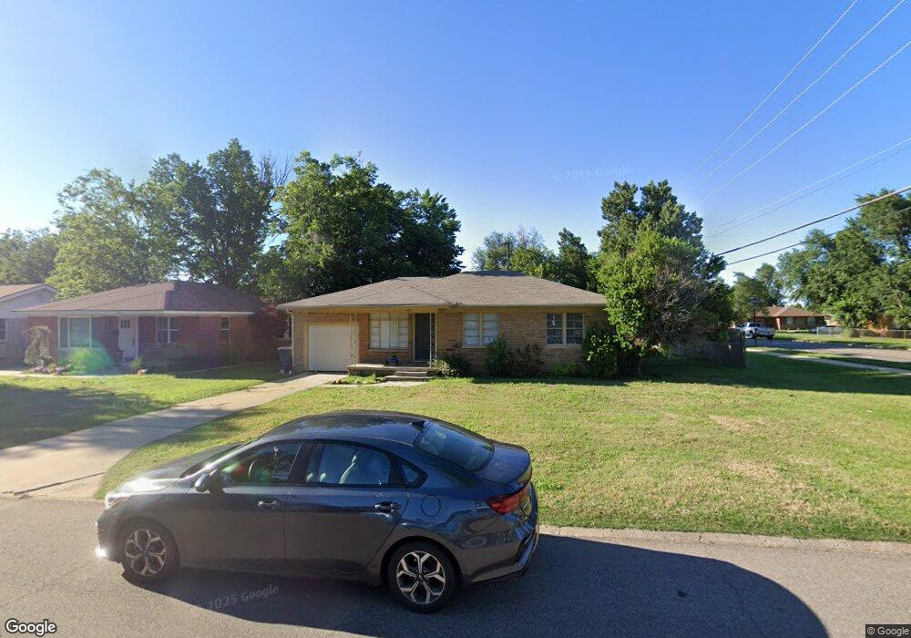
1701 Sheffield Rd Oklahoma City, OK 73120
Estimated Value: $177,000 - $215,000
2
Beds
1
Bath
1,151
Sq Ft
$165/Sq Ft
Est. Value
About This Home
This home is located at 1701 Sheffield Rd, Oklahoma City, OK 73120 and is currently estimated at $190,036, approximately $165 per square foot. 1701 Sheffield Rd is a home located in Oklahoma County with nearby schools including Ridgeview Elementary School, John Marshall Enterprise Middle School, and John Marshall Enterprise High School.
Ownership History
Date
Name
Owned For
Owner Type
Purchase Details
Closed on
Jun 26, 2014
Sold by
Retherford Mashell
Bought by
The Four Of Us Llc
Current Estimated Value
Purchase Details
Closed on
Dec 17, 2010
Sold by
Brown Leonard H
Bought by
Strickland Cole and Neal Robert Colby
Home Financials for this Owner
Home Financials are based on the most recent Mortgage that was taken out on this home.
Original Mortgage
$63,954
Interest Rate
4.41%
Mortgage Type
New Conventional
Create a Home Valuation Report for This Property
The Home Valuation Report is an in-depth analysis detailing your home's value as well as a comparison with similar homes in the area
Home Values in the Area
Average Home Value in this Area
Purchase History
| Date | Buyer | Sale Price | Title Company |
|---|---|---|---|
| The Four Of Us Llc | $102,500 | The Oklahoma City Abst & Tit | |
| Strickland Cole | $85,500 | Capitol Abstract & Title Co |
Source: Public Records
Mortgage History
| Date | Status | Borrower | Loan Amount |
|---|---|---|---|
| Previous Owner | Strickland Cole | $63,954 |
Source: Public Records
Tax History Compared to Growth
Tax History
| Year | Tax Paid | Tax Assessment Tax Assessment Total Assessment is a certain percentage of the fair market value that is determined by local assessors to be the total taxable value of land and additions on the property. | Land | Improvement |
|---|---|---|---|---|
| 2024 | $1,872 | $16,362 | $2,603 | $13,759 |
| 2023 | $1,872 | $15,583 | $2,585 | $12,998 |
| 2022 | $1,710 | $14,840 | $2,135 | $12,705 |
| 2021 | $1,581 | $14,134 | $2,173 | $11,961 |
| 2020 | $1,485 | $13,461 | $2,264 | $11,197 |
| 2019 | $1,420 | $12,820 | $2,182 | $10,638 |
| 2018 | $1,283 | $12,210 | $0 | $0 |
| 2017 | $1,203 | $12,264 | $1,933 | $10,331 |
| 2016 | $1,193 | $12,099 | $1,933 | $10,166 |
| 2015 | $1,168 | $11,811 | $1,933 | $9,878 |
| 2014 | $1,120 | $11,382 | $2,113 | $9,269 |
Source: Public Records
Map
Nearby Homes
- 1705 Carlisle Rd
- 1710 Carlisle Rd
- 1731 Carlisle Rd
- 1627 Andover Ct
- 1515 Downing St
- 1825 Sheffield Rd
- 1609 Brighton Ave
- 1517 Andover Ct
- 1429 Casady Ln
- 2212 Barclay Rd
- 9203 Nichols Rd
- 1503 Brighton Ave
- 2131 Carlton Way
- 2241 Ashley Dr
- 1738 Westchester Dr
- 1417 Downing St
- 1916 Hasley Dr
- 2344 W Britton Rd
- 1412 Casady Ln
- 1829 Westchester Dr
- 1703 Sheffield Rd
- 1705 Sheffield Rd
- 1700 Oxford Way
- 1702 Oxford Way
- 1633 Sheffield Rd
- 1700 Sheffield Rd
- 1704 Oxford Way
- 1702 Sheffield Rd
- 1624 Oxford Way
- 1704 Sheffield Rd
- 1631 Sheffield Rd
- 1706 Oxford Way
- 1706 Sheffield Rd
- 1622 Oxford Way
- 1630 Sheffield Rd
- 1629 Sheffield Rd
- 1708 Sheffield Rd
- 1701 Carlisle Rd
- 1701 Oxford Way
- 1708 Oxford Way