17046 Burns Cedar Dr King George, VA 22485
Estimated Value: $389,219 - $494,000
2
Beds
2
Baths
616
Sq Ft
$718/Sq Ft
Est. Value
About This Home
This home is located at 17046 Burns Cedar Dr, King George, VA 22485 and is currently estimated at $442,055, approximately $717 per square foot. 17046 Burns Cedar Dr is a home located in King George County with nearby schools including Potomac Elementary School, King George Middle School, and King George High School.
Ownership History
Date
Name
Owned For
Owner Type
Purchase Details
Closed on
Aug 12, 2014
Sold by
Crowl Daniel F
Bought by
Burns Tr James C
Current Estimated Value
Purchase Details
Closed on
Jul 8, 2014
Sold by
Sheffield Succ Tr Walter J
Bought by
Crowl Daniel F
Purchase Details
Closed on
Nov 26, 2008
Sold by
Crowl Debbie
Bought by
Burns Kirk
Purchase Details
Closed on
Aug 22, 2007
Sold by
Burns Debbie
Bought by
Burns James
Create a Home Valuation Report for This Property
The Home Valuation Report is an in-depth analysis detailing your home's value as well as a comparison with similar homes in the area
Home Values in the Area
Average Home Value in this Area
Purchase History
| Date | Buyer | Sale Price | Title Company |
|---|---|---|---|
| Burns Tr James C | $330,000 | -- | |
| Crowl Daniel F | $330,000 | -- | |
| Burns Kirk | -- | -- | |
| Burns James | -- | -- |
Source: Public Records
Tax History Compared to Growth
Tax History
| Year | Tax Paid | Tax Assessment Tax Assessment Total Assessment is a certain percentage of the fair market value that is determined by local assessors to be the total taxable value of land and additions on the property. | Land | Improvement |
|---|---|---|---|---|
| 2025 | $2,489 | $366,000 | $276,500 | $89,500 |
| 2024 | $2,489 | $366,000 | $276,500 | $89,500 |
| 2023 | $2,489 | $366,000 | $276,500 | $89,500 |
| 2022 | $2,342 | $366,000 | $276,500 | $89,500 |
| 2021 | $2,281 | $312,500 | $246,000 | $66,500 |
| 2020 | $2,188 | $312,500 | $246,000 | $66,500 |
| 2019 | $2,188 | $312,500 | $246,000 | $66,500 |
| 2018 | $2,188 | $312,500 | $246,000 | $66,500 |
| 2017 | $2,041 | $291,500 | $246,000 | $45,500 |
| 2016 | $1,982 | $291,500 | $246,000 | $45,500 |
| 2015 | -- | $291,500 | $246,000 | $45,500 |
Source: Public Records
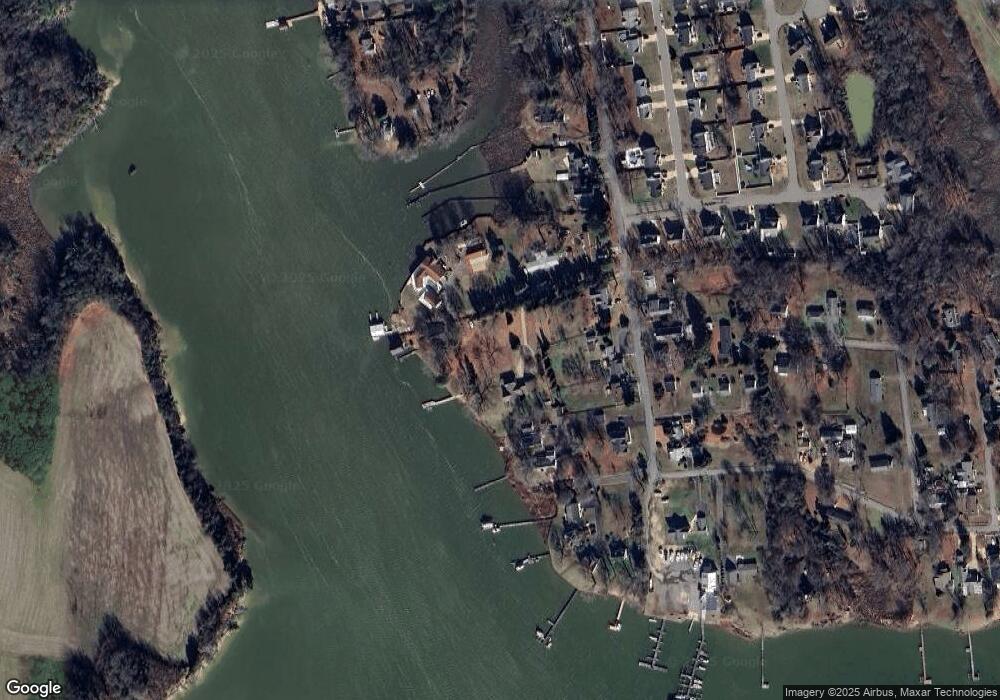
Map
Nearby Homes
- 6142 Schooner Cir
- 5379 Payne Dr
- 7388 Price Ct
- 0 University Dr
- 0 James Madison Pkwy Unit VAKG2006144
- 0 James Madison Pkwy Unit VAKG118976
- Lot 2 Windsor Dr
- 5229 Windsor Dr
- Lot 4 Windsor Dr
- 4257 Berkley Ct
- 4260 Alexis Ln
- 8215 Oak Crest Dr
- 4375 Chatham Dr
- 8550 Windsor Dr
- 0 Windsor Dr Lot 20c Unit VAKG2005996
- 0 Windsor Dr Unit VAKG2007234
- 9050 Pumpkin Neck Rd
- 8612 Sandy Beach Ln
- 9331 Windsor Dr
- 14130 Chotank Loop
- 17050 Burns Cedar Dr
- 6194 Potomac Dr
- 17038 Ferry Dock Rd
- 6204 Potomac Dr
- 6192 Potomac Dr
- 17042 Ferry Dock Rd
- 6228 Potomac Dr
- 6220 Potomac Dr
- 17050 Ferry Dock Rd
- 6184 Potomac Dr
- 6244 Potomac Dr
- 6199 Potomac Dr
- 6207 Potomac Dr
- 6172 Potomac Dr
- 6223 Potomac Dr
- 17066 Windward Ln
- 33 Windward Ln
- 35 Windward Ln
- 17062 Ferry Dock Rd
- 6233 Potomac Dr