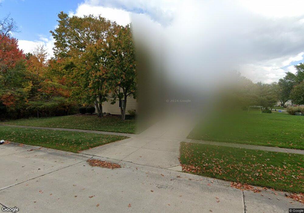
17050 Hunting Meadows Dr Strongsville, OH 44136
Estimated Value: $315,063 - $355,000
3
Beds
3
Baths
1,896
Sq Ft
$177/Sq Ft
Est. Value
About This Home
This home is located at 17050 Hunting Meadows Dr, Strongsville, OH 44136 and is currently estimated at $336,266, approximately $177 per square foot. 17050 Hunting Meadows Dr is a home located in Cuyahoga County with nearby schools including Strongsville High School and Sts Joseph & John Interparochial School.
Ownership History
Date
Name
Owned For
Owner Type
Purchase Details
Closed on
Jul 27, 2016
Sold by
Puzzitiello Carol A and Puzzitiello Richard A
Bought by
Parkpointe Properties Llc
Current Estimated Value
Purchase Details
Closed on
Feb 13, 1986
Sold by
Schumann Edward A
Bought by
Parkpointe Properties
Purchase Details
Closed on
May 12, 1980
Bought by
Schumann Edward A
Purchase Details
Closed on
Jan 1, 1975
Bought by
Parkview Corp
Create a Home Valuation Report for This Property
The Home Valuation Report is an in-depth analysis detailing your home's value as well as a comparison with similar homes in the area
Home Values in the Area
Average Home Value in this Area
Purchase History
| Date | Buyer | Sale Price | Title Company |
|---|---|---|---|
| Parkpointe Properties Llc | -- | Chicago Title Ins | |
| Parkpointe Properties | -- | -- | |
| Schumann Edward A | $10,800 | -- | |
| Parkview Corporation | $21,800 | -- | |
| Parkview Corp | -- | -- |
Source: Public Records
Tax History Compared to Growth
Tax History
| Year | Tax Paid | Tax Assessment Tax Assessment Total Assessment is a certain percentage of the fair market value that is determined by local assessors to be the total taxable value of land and additions on the property. | Land | Improvement |
|---|---|---|---|---|
| 2024 | $4,938 | $102,725 | $23,450 | $79,275 |
| 2023 | $5,051 | $78,960 | $19,810 | $59,150 |
| 2022 | $5,015 | $78,960 | $19,810 | $59,150 |
| 2021 | $4,980 | $78,960 | $19,810 | $59,150 |
| 2020 | $4,613 | $64,720 | $16,240 | $48,480 |
| 2019 | $4,481 | $184,900 | $46,400 | $138,500 |
| 2018 | $4,011 | $64,720 | $16,240 | $48,480 |
| 2017 | $4,123 | $60,590 | $13,090 | $47,500 |
| 2016 | $4,090 | $60,590 | $13,090 | $47,500 |
| 2015 | $4,043 | $60,590 | $13,090 | $47,500 |
| 2014 | $4,043 | $60,590 | $13,090 | $47,500 |
Source: Public Records
Map
Nearby Homes
- 18162 Fawn Cir
- 16650 Lanier Ave
- 17024 Bear Creek Ln
- 17159 Turkey Meadow Ln
- 18630 Shurmer Rd
- 15639 Indianhead Ln
- 16450 Howe Rd
- 17682 Drake Rd
- 18294 Drake Rd
- 14826 Lenox Dr
- 14703 Lenox Dr Unit 103
- 17934 Cambridge Oval
- 19311 Bradford Ct
- 16486 S Red Rock Dr
- 19297 Lauren Way
- 17130 Golden Star Dr
- 17259 Woodshire Dr
- 18411 Yorktown Oval
- 19513 Lunn Rd
- 19160 Wheelers Ln
- 17048 Hunting Meadows Dr
- 17060 Hunting Meadows Dr
- 17044 Hunting Meadows Dr
- 17051 Hunting Meadows Dr
- 17064 Hunting Meadows Dr
- 17040 Hunting Meadows Dr
- 17049 Hunting Meadows Dr
- 17061 Hunting Meadows Dr
- 17045 Hunting Meadows Dr
- 17068 Hunting Meadows Dr
- 17036 Hunting Meadows Dr
- 17065 Hunting Meadows Dr
- 17038 Deer Path Dr
- 17043 Beaver Cir
- 17070 Hunting Meadows Dr
- 17037 Deer Path Dr
- 17030 Hunting Meadows Dr
- 17069 Hunting Meadows Dr
- 17034 Deer Path Dr
- 17039 Beaver Cir