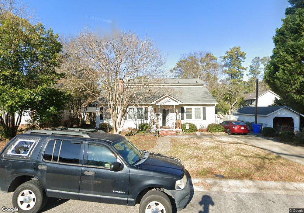
1706 Queen St Fayetteville, NC 28303
Terry Sanford NeighborhoodEstimated Value: $226,000 - $268,000
4
Beds
2
Baths
1,642
Sq Ft
$150/Sq Ft
Est. Value
About This Home
This home is located at 1706 Queen St, Fayetteville, NC 28303 and is currently estimated at $245,659, approximately $149 per square foot. 1706 Queen St is a home located in Cumberland County with nearby schools including Alma O Easom Elementary, Vanstory Hills Elementary School, and R. Max Abbott Middle School.
Ownership History
Date
Name
Owned For
Owner Type
Purchase Details
Closed on
Jun 28, 2004
Sold by
Brook James
Bought by
Bennett Joseph
Current Estimated Value
Home Financials for this Owner
Home Financials are based on the most recent Mortgage that was taken out on this home.
Original Mortgage
$97,750
Outstanding Balance
$48,930
Interest Rate
6.25%
Mortgage Type
New Conventional
Estimated Equity
$196,729
Purchase Details
Closed on
Jul 21, 2000
Sold by
American General Finance
Bought by
Brook James William
Home Financials for this Owner
Home Financials are based on the most recent Mortgage that was taken out on this home.
Original Mortgage
$85,000
Interest Rate
8.3%
Purchase Details
Closed on
Mar 3, 2000
Sold by
Hutchens H Terry
Bought by
American General Finance Inc
Create a Home Valuation Report for This Property
The Home Valuation Report is an in-depth analysis detailing your home's value as well as a comparison with similar homes in the area
Home Values in the Area
Average Home Value in this Area
Purchase History
| Date | Buyer | Sale Price | Title Company |
|---|---|---|---|
| Bennett Joseph | $86,000 | -- | |
| Brook James William | $85,000 | -- | |
| American General Finance Inc | $89,000 | -- |
Source: Public Records
Mortgage History
| Date | Status | Borrower | Loan Amount |
|---|---|---|---|
| Open | Bennett Joseph | $97,750 | |
| Previous Owner | Brook James William | $85,000 |
Source: Public Records
Tax History Compared to Growth
Tax History
| Year | Tax Paid | Tax Assessment Tax Assessment Total Assessment is a certain percentage of the fair market value that is determined by local assessors to be the total taxable value of land and additions on the property. | Land | Improvement |
|---|---|---|---|---|
| 2024 | $2,845 | $125,089 | $41,250 | $83,839 |
| 2023 | $2,515 | $125,089 | $41,250 | $83,839 |
| 2022 | $2,262 | $125,089 | $41,250 | $83,839 |
| 2021 | $2,262 | $125,089 | $41,250 | $83,839 |
| 2019 | $2,227 | $147,000 | $41,250 | $105,750 |
| 2018 | $2,227 | $147,000 | $41,250 | $105,750 |
| 2017 | $2,124 | $147,000 | $41,250 | $105,750 |
| 2016 | $2,269 | $172,000 | $41,250 | $130,750 |
| 2015 | $2,246 | $172,000 | $41,250 | $130,750 |
| 2014 | $2,239 | $172,000 | $41,250 | $130,750 |
Source: Public Records
Map
Nearby Homes
- 626 Cape Fear Ave
- 725 Greenland Dr
- 816 Pilot Ave
- 714 Westmont Dr
- 933 Creek Side Run
- 523 Westmont Dr
- 717 Glenwood Dr
- 703 Glenwood Dr
- 704 Glenwood Dr
- 1416 Briarcliff Dr Unit 1, 2, 3
- 1412, 1414 Briarcliff Dr
- 831 Anarine Rd
- 1404 Briarcliff Dr Unit 1404, 1406, 1408, 14
- 719 Kooler Cir
- 1400 & 1402 Briarcliff Dr Unit 1400 A/B, 1402
- 610 Huske St
- 1708 Queen St
- 604 Cape Fear Ave
- 512 Cape Fear Ave
- 525 Pearl St
- 606 Cape Fear Ave
- 701 Queen St
- 521 Pearl St
- 510 Cape Fear Ave
- 608 Cape Fear Ave
- 508 Cape Fear Ave
- 511 Pearl St
- 605 Cape Fear Ave
- 529 Pearl St
- 610 Cape Fear Ave
- 1801 Queen St
- 524 Pearl St
- 509 Pearl St
- 522 Pearl St
- 506 Cape Fear Ave
- 526 Pearl St