1709 Stone Rd Pearland, TX 77581
Estimated Value: $539,009 - $674,000
--
Bed
2
Baths
2,392
Sq Ft
$248/Sq Ft
Est. Value
About This Home
This home is located at 1709 Stone Rd, Pearland, TX 77581 and is currently estimated at $594,252, approximately $248 per square foot. 1709 Stone Rd is a home located in Brazoria County with nearby schools including E A Lawhon Elementary School, Leon H. Sablatura Middle School, and Pearland Junior High School West.
Ownership History
Date
Name
Owned For
Owner Type
Purchase Details
Closed on
Dec 15, 2023
Sold by
Walters Vicki Z
Bought by
Walters Scotty Lee and Walters Erica Paige
Current Estimated Value
Home Financials for this Owner
Home Financials are based on the most recent Mortgage that was taken out on this home.
Original Mortgage
$395,349
Interest Rate
7.5%
Mortgage Type
Seller Take Back
Create a Home Valuation Report for This Property
The Home Valuation Report is an in-depth analysis detailing your home's value as well as a comparison with similar homes in the area
Home Values in the Area
Average Home Value in this Area
Purchase History
| Date | Buyer | Sale Price | Title Company |
|---|---|---|---|
| Walters Scotty Lee | -- | None Listed On Document |
Source: Public Records
Mortgage History
| Date | Status | Borrower | Loan Amount |
|---|---|---|---|
| Closed | Walters Scotty Lee | $395,349 |
Source: Public Records
Tax History Compared to Growth
Tax History
| Year | Tax Paid | Tax Assessment Tax Assessment Total Assessment is a certain percentage of the fair market value that is determined by local assessors to be the total taxable value of land and additions on the property. | Land | Improvement |
|---|---|---|---|---|
| 2025 | $1,752 | $441,615 | $284,670 | $357,490 |
| 2023 | $1,752 | $364,971 | $284,670 | $378,000 |
| 2022 | $7,981 | $331,792 | $182,190 | $178,730 |
| 2021 | $7,772 | $360,920 | $182,190 | $178,730 |
| 2020 | $7,398 | $324,720 | $151,830 | $172,890 |
| 2019 | $6,727 | $249,280 | $108,450 | $140,830 |
| 2018 | $8,150 | $303,310 | $178,070 | $125,240 |
| 2017 | $8,244 | $305,310 | $178,200 | $127,110 |
| 2016 | $7,662 | $283,760 | $178,200 | $105,560 |
| 2014 | $3,410 | $280,510 | $178,200 | $102,310 |
Source: Public Records
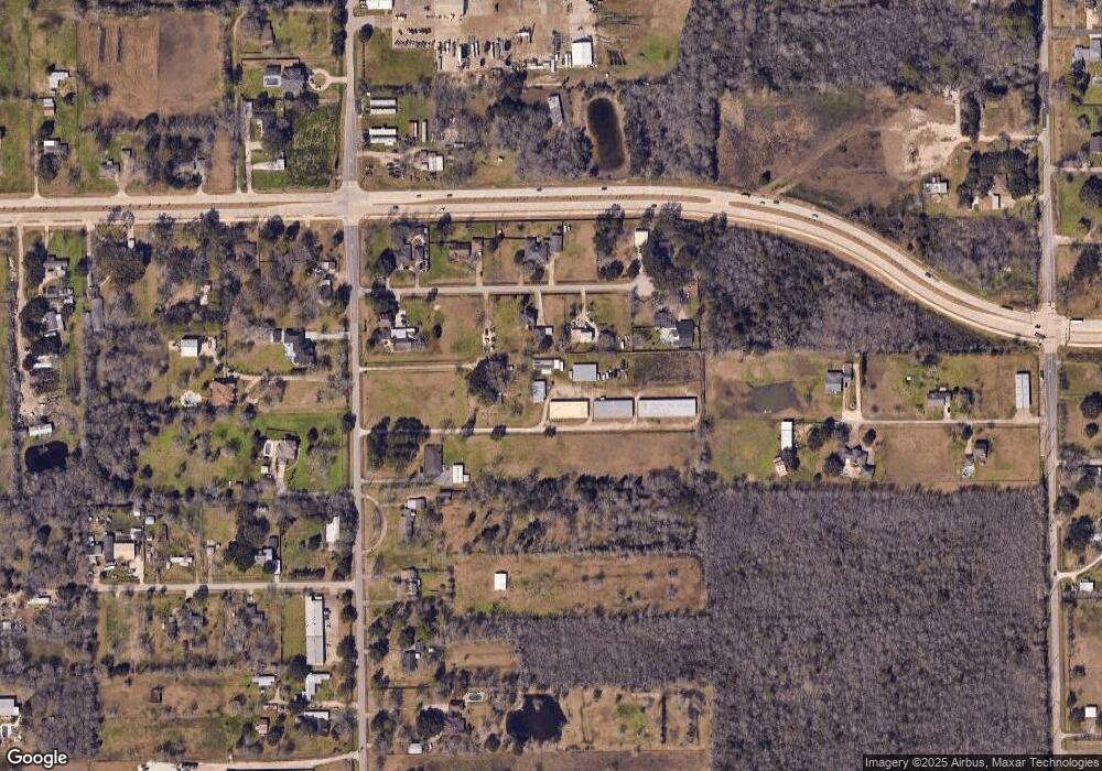
Map
Nearby Homes
- 1745 Stone Rd
- 8002 Seddon Rd
- 8033 Mchard Rd Unit 106
- 00 Max Rd
- 8210 Mchard Rd Unit 106
- 2008 Granite Pass Dr
- 7737 Brookside Rd
- 5127 Brookside Rd
- 1634 Roy Rd
- 2123 Lee Rd
- 1706 Roy Rd
- 7825 Hughes Ranch Rd
- 8518 Hawk Rd Unit 66
- 12746 Roy Rd
- 14939 Cullen Blvd
- 2350 Hawk Meadows
- 1549 Garden Rd Unit 109
- 12421 Roy Rd Unit 105
- 2413 Quiet Arbor Ln
- 8909 Hawk Rd
- 7714 Longleaf Dr
- 7730 Longleaf Dr
- 7706 Longleaf Dr
- 7713 Longleaf Dr
- 7626 Longleaf Dr
- 7729 Longleaf Dr
- 1733 Stone Rd
- 7810 Longleaf Dr
- 7625 Longleaf Dr
- 7809 Longleaf Dr
- 1617 Stone Rd
- 1646 Stone Rd
- 1738 Stone Rd
- 1702 Stone Rd
- 1634 Stone Rd Unit 561
- 1718 Max Rd
- 1722 Max Rd
- TBD County Road 565
- 7901 Brookside Rd
- 1817 Stone Rd