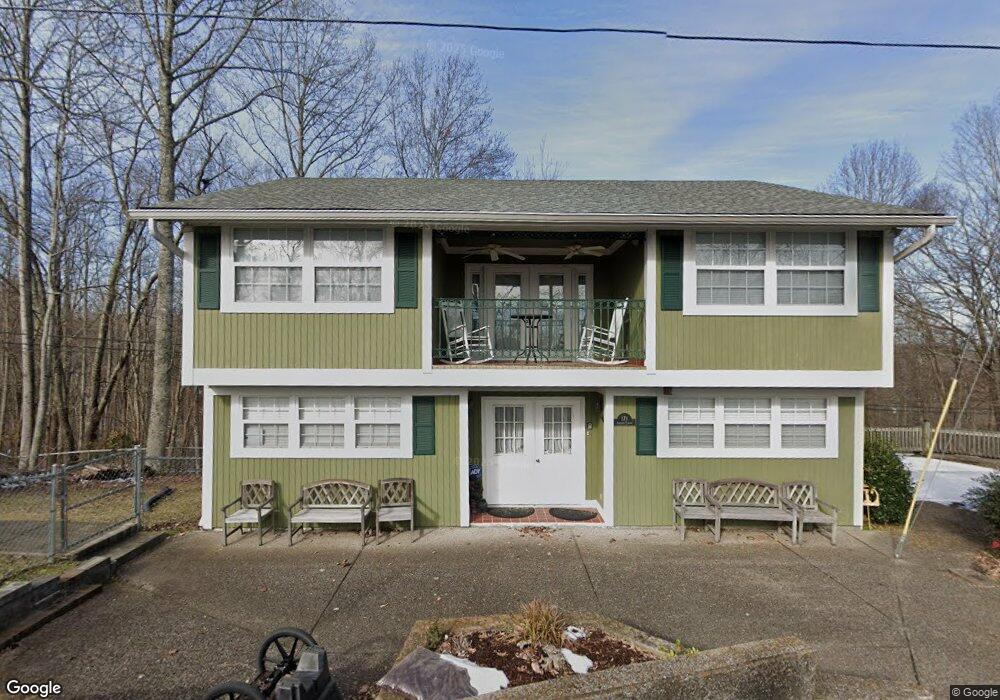
171 Ashburn Cir Lancaster, TN 38569
Estimated Value: $456,028 - $1,020,000
--
Bed
3
Baths
3,827
Sq Ft
$171/Sq Ft
Est. Value
About This Home
This home is located at 171 Ashburn Cir, Lancaster, TN 38569 and is currently estimated at $653,007, approximately $170 per square foot. 171 Ashburn Cir is a home located in DeKalb County.
Ownership History
Date
Name
Owned For
Owner Type
Purchase Details
Closed on
Mar 3, 2023
Sold by
Wright Aletha M
Bought by
Wright Ronald T and Wright Aletha M
Current Estimated Value
Purchase Details
Closed on
Sep 12, 2007
Sold by
Owens Ray Donald
Bought by
Wright Aletha M
Purchase Details
Closed on
May 11, 2000
Sold by
Jared Eugene
Bought by
Owens Ray and Owens Audrey D
Purchase Details
Closed on
Aug 6, 1993
Bought by
Eugene Jared
Create a Home Valuation Report for This Property
The Home Valuation Report is an in-depth analysis detailing your home's value as well as a comparison with similar homes in the area
Home Values in the Area
Average Home Value in this Area
Purchase History
| Date | Buyer | Sale Price | Title Company |
|---|---|---|---|
| Wright Ronald T | -- | -- | |
| Wright Aletha M | $350,000 | -- | |
| Owens Ray | $180,000 | -- | |
| Eugene Jared | $43,000 | -- |
Source: Public Records
Tax History Compared to Growth
Tax History
| Year | Tax Paid | Tax Assessment Tax Assessment Total Assessment is a certain percentage of the fair market value that is determined by local assessors to be the total taxable value of land and additions on the property. | Land | Improvement |
|---|---|---|---|---|
| 2024 | $2,425 | $96,625 | $8,250 | $88,375 |
| 2023 | $1,933 | $96,625 | $8,250 | $88,375 |
| 2022 | $1,672 | $96,625 | $8,250 | $88,375 |
| 2021 | $1,672 | $96,625 | $8,250 | $88,375 |
| 2020 | $1,515 | $96,625 | $8,250 | $88,375 |
| 2019 | $1,515 | $71,325 | $9,725 | $61,600 |
| 2018 | $1,308 | $71,325 | $9,725 | $61,600 |
| 2017 | $1,308 | $71,325 | $9,725 | $61,600 |
| 2016 | $1,081 | $58,950 | $9,725 | $49,225 |
| 2015 | $955 | $58,950 | $9,725 | $49,225 |
| 2014 | $1,216 | $75,075 | $12,500 | $62,575 |
| 2013 | $1,216 | $75,075 | $12,500 | $62,575 |
Source: Public Records
Map
Nearby Homes
- 7100 Dale Ridge Rd Unit A4
- 7100 Dale Ridge Rd
- 56 Harbor Dr
- 120 Bay Dr
- 35 Bayview Dr
- 7383 Dale Ridge Rd
- 11 Bay Dr
- 0 Bayside Dr
- 0 Bay View Dr Unit RTC3030507
- 7720 Dale Ridge Rd
- 615 Harbor Dr
- 110 Village Way
- 183 Baymont Dr
- 77 Baymont Dr
- 0 Long Branch Rd Unit RTC2985993
- 0 Long Branch Rd Unit 238990
- 574 Hayes Ridge Rd
- 425 Hickman Rd
- 448 Dean Acre Ln
- 10 Temperance Cir
- 0 Ashburn Cir Unit RTC2599117
- 0 Ashburn Cir Unit RTC2236043
- 0 Ashburn Cir Unit RTC2267009
- 191 Ashburn Cir
- 186 Ashburn Cir
- 234 Ashburn Cir
- 0 Dale Ridge Rd
- 105 Ashburn Cir
- 156 Ashburn Cir
- 1888 Anderson Camp Ln
- 265 Ashburn Cir
- 168 Anderson Camp Ln
- 158 Anderson Camp Ln
- Lot 8 Ashburn Cir
- 245 E View Dr E
- 245 Eastview Dr
- 7100 Dale Ridge Rd I-6
- 7090 Dale Ridge Rd
- 7100 Dale Ridge Rd
- 7100 Dale Ridge Rd