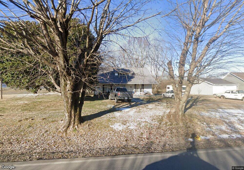
171 Oakdale Rd Westmoreland, TN 37186
Estimated Value: $208,000 - $264,000
--
Bed
--
Bath
2,706
Sq Ft
$85/Sq Ft
Est. Value
About This Home
This home is located at 171 Oakdale Rd, Westmoreland, TN 37186 and is currently estimated at $231,333, approximately $85 per square foot. 171 Oakdale Rd is a home with nearby schools including Lighthouse Academy.
Ownership History
Date
Name
Owned For
Owner Type
Purchase Details
Closed on
Jul 7, 2006
Sold by
Lynn Shrum
Bought by
Fuqua Fountain D
Current Estimated Value
Purchase Details
Closed on
Sep 13, 2005
Sold by
Lynn Shrum
Bought by
David Simmons
Purchase Details
Closed on
Sep 12, 2005
Sold by
Lynn Shrum
Bought by
Freddie Fuqua
Purchase Details
Closed on
Sep 9, 2005
Sold by
Lynn Shrum
Bought by
Howard Dorris
Purchase Details
Closed on
Aug 9, 1976
Bought by
Leath Ruthie
Create a Home Valuation Report for This Property
The Home Valuation Report is an in-depth analysis detailing your home's value as well as a comparison with similar homes in the area
Home Values in the Area
Average Home Value in this Area
Purchase History
| Date | Buyer | Sale Price | Title Company |
|---|---|---|---|
| Fuqua Fountain D | $6,817 | -- | |
| Barry Jenkins | $27,470 | -- | |
| Freddie Fuqua | $11,845 | -- | |
| Hubert Troutt | $51,500 | -- | |
| David Simmons | $25,740 | -- | |
| Freddie Fuqua | $17,776 | -- | |
| Howard Dorris | $46,244 | -- | |
| Leath Ruthie | -- | -- |
Source: Public Records
Tax History Compared to Growth
Tax History
| Year | Tax Paid | Tax Assessment Tax Assessment Total Assessment is a certain percentage of the fair market value that is determined by local assessors to be the total taxable value of land and additions on the property. | Land | Improvement |
|---|---|---|---|---|
| 2024 | $455 | $37,075 | $8,625 | $28,450 |
| 2023 | $455 | $32,225 | $0 | $0 |
| 2022 | $359 | $14,975 | $4,025 | $10,950 |
| 2021 | $359 | $14,975 | $4,025 | $10,950 |
| 2020 | $359 | $14,975 | $4,025 | $10,950 |
| 2019 | $359 | $14,975 | $4,025 | $10,950 |
| 2018 | $331 | $14,975 | $4,025 | $10,950 |
| 2017 | $276 | $10,950 | $2,150 | $8,800 |
| 2016 | $263 | $10,950 | $2,150 | $8,800 |
| 2015 | $263 | $10,950 | $2,150 | $8,800 |
| 2014 | -- | $10,955 | $0 | $0 |
Source: Public Records
Map
Nearby Homes
- 98 Andrea Ln
- 779 Oakdale Rd
- 0 Highway 52 W Unit RTC2944821
- 6704 Highway 52 W
- 6606 Highway 52 W
- 221 Creekside Ln
- 8141 Old Highway 52
- 5071 Old Highway 52
- 2134 Oakdale Rd
- 177 Lauren Ln
- 397 Lauren Ln
- 0 Highway 52 W Unit RTC2515576
- 2486 Oakdale Rd
- 1314 Green Grove Rd
- 1701 Wixtown Rd
- 2166 Shrum Cemetery Rd
- 2134 Shrum Cemetery Rd
- 2192 Shrum Cemetery Rd
- 1733 Wixtown Rd
- 625 White Hollow Ln
- 189 Oakdale Rd
- 211 Oakdale Rd
- 219 Oakdale Rd
- 255 Oakdale Rd
- 273 Oakdale Rd
- 63 Oakdale Rd
- 291 Oakdale Rd
- 35 Oakdale Rd
- 315 Oakdale Rd
- 6 Oakdale Ln
- 337 Oakdale Rd
- 4606 Old Highway 52 E
- 9105 Old Hignway 52
- 6644 Old Highway 52
- 6541 Old Highway 52
- 6461 Old Highway 52
- 0 Andrea Ln
- 6712 Old Highway 52
- 8126 Highway 52 W
- 120 Andrea Ln