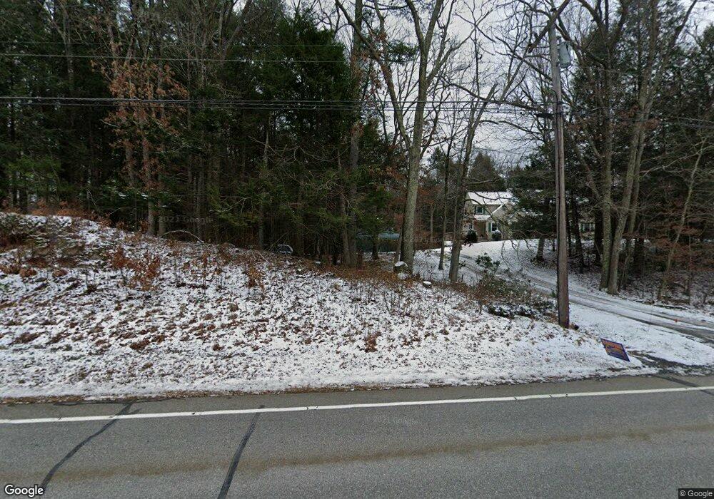
171 Route 198 Woodstock Valley, CT 06282
Estimated Value: $381,000 - $659,000
4
Beds
4
Baths
2,950
Sq Ft
$177/Sq Ft
Est. Value
About This Home
This home is located at 171 Route 198, Woodstock Valley, CT 06282 and is currently estimated at $522,363, approximately $177 per square foot. 171 Route 198 is a home located in Windham County with nearby schools including Woodstock Elementary School and Woodstock Middle School.
Ownership History
Date
Name
Owned For
Owner Type
Purchase Details
Closed on
Oct 17, 2002
Sold by
Michaud Milton and Michaud Mary E
Bought by
Currier Gail S
Current Estimated Value
Home Financials for this Owner
Home Financials are based on the most recent Mortgage that was taken out on this home.
Original Mortgage
$183,750
Interest Rate
5.59%
Mortgage Type
Purchase Money Mortgage
Create a Home Valuation Report for This Property
The Home Valuation Report is an in-depth analysis detailing your home's value as well as a comparison with similar homes in the area
Home Values in the Area
Average Home Value in this Area
Purchase History
| Date | Buyer | Sale Price | Title Company |
|---|---|---|---|
| Currier Gail S | $245,000 | -- |
Source: Public Records
Mortgage History
| Date | Status | Borrower | Loan Amount |
|---|---|---|---|
| Closed | Currier Gail S | $183,750 | |
| Previous Owner | Currier Gail S | $90,000 |
Source: Public Records
Tax History Compared to Growth
Tax History
| Year | Tax Paid | Tax Assessment Tax Assessment Total Assessment is a certain percentage of the fair market value that is determined by local assessors to be the total taxable value of land and additions on the property. | Land | Improvement |
|---|---|---|---|---|
| 2025 | $4,330 | $177,400 | $35,600 | $141,800 |
| 2024 | $4,087 | $177,400 | $35,600 | $141,800 |
| 2023 | $3,976 | $177,400 | $35,600 | $141,800 |
| 2022 | $3,699 | $177,400 | $35,600 | $141,800 |
| 2021 | $4,106 | $161,000 | $35,600 | $125,400 |
| 2020 | $3,785 | $154,500 | $35,600 | $118,900 |
| 2019 | $3,785 | $154,500 | $35,600 | $118,900 |
| 2018 | $3,785 | $154,500 | $35,600 | $118,900 |
| 2017 | $3,754 | $154,500 | $35,600 | $118,900 |
| 2016 | $4,344 | $180,700 | $46,100 | $134,600 |
| 2015 | $4,221 | $180,700 | $46,100 | $134,600 |
| 2014 | $4,174 | $180,700 | $46,100 | $134,600 |
Source: Public Records
Map
Nearby Homes
- Lot 4A Weeks Rd
- 8 Nahaco Hill Ln
- 86A County Rd
- 5 Nahaco Hill Ln
- 60 Indian Spring Rd
- 96 Westford Rd
- 89 John Perry Rd
- 23 Little Bungee Hill Rd
- 29 Crooked Trail Extension
- 0 Hemlock Dr
- 30 Lyon Rd
- 402 Perrin Rd
- 19 Hiawatha Heights
- Lot 0 Kozey Rd
- 145 Perrin Rd
- 381 Bungay Hill Rd
- 70 Laurel Hill Dr
- 0 Boston Turnpike
- 80 Bungay Hill Rd
- 56 Laurel Hill Dr
- 147 Route 198
- 179 Route 198
- 144 Route 198
- 189 Route 198
- 26 Kenyonville Rd
- 95 Hawkins Rd
- 133 Route 198
- Lot #8 Eastford Rd
- 113 Eastford Rd
- 109 Eastford Rd
- 127 Hawkins Rd
- 119 Hawkins Rd
- 99 Hawkins Rd
- 61 Hawkins Rd
- 22 Kenyonville Rd
- 203 Connecticut 198
- 203 Rte 198 Route
- 203 Route 198
- 85 Hawkins Rd
- 119 Route 198