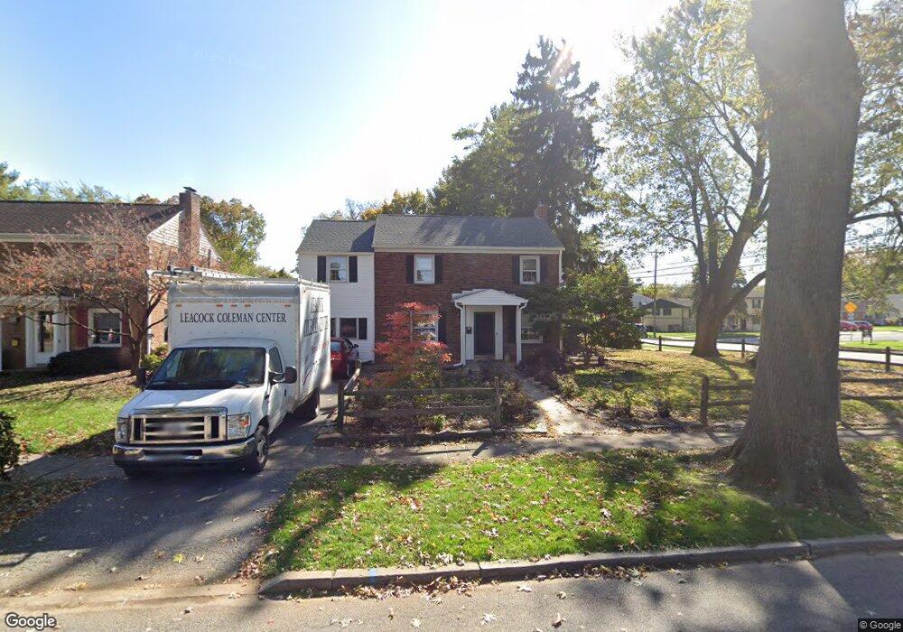
1713 Kent Rd Camp Hill, PA 17011
Lower Allen NeighborhoodEstimated Value: $316,000 - $376,000
3
Beds
2
Baths
2,154
Sq Ft
$160/Sq Ft
Est. Value
About This Home
This home is located at 1713 Kent Rd, Camp Hill, PA 17011 and is currently estimated at $344,332, approximately $159 per square foot. 1713 Kent Rd is a home located in Cumberland County with nearby schools including Highland Elementary School, Allen Middle School, and Cedar Cliff High School.
Ownership History
Date
Name
Owned For
Owner Type
Purchase Details
Closed on
Mar 13, 2015
Sold by
Mabius Stephen D and Mabius Nicole M
Bought by
Mabius Stephen D
Current Estimated Value
Purchase Details
Closed on
Jul 27, 2001
Sold by
Lavardue Edward W
Bought by
Mabius Stephen D
Home Financials for this Owner
Home Financials are based on the most recent Mortgage that was taken out on this home.
Original Mortgage
$5,155
Interest Rate
6.98%
Purchase Details
Closed on
Sep 8, 2000
Sold by
Poth Mary Ellen
Bought by
Laverdore Edward W
Home Financials for this Owner
Home Financials are based on the most recent Mortgage that was taken out on this home.
Original Mortgage
$96,000
Interest Rate
8.1%
Create a Home Valuation Report for This Property
The Home Valuation Report is an in-depth analysis detailing your home's value as well as a comparison with similar homes in the area
Home Values in the Area
Average Home Value in this Area
Purchase History
| Date | Buyer | Sale Price | Title Company |
|---|---|---|---|
| Mabius Stephen D | -- | -- | |
| Mabius Stephen D | $129,900 | -- | |
| Laverdore Edward W | $120,000 | -- |
Source: Public Records
Mortgage History
| Date | Status | Borrower | Loan Amount |
|---|---|---|---|
| Previous Owner | Mabius Stephen D | $5,155 | |
| Previous Owner | Laverdore Edward W | $96,000 |
Source: Public Records
Tax History Compared to Growth
Tax History
| Year | Tax Paid | Tax Assessment Tax Assessment Total Assessment is a certain percentage of the fair market value that is determined by local assessors to be the total taxable value of land and additions on the property. | Land | Improvement |
|---|---|---|---|---|
| 2025 | $4,218 | $199,100 | $37,700 | $161,400 |
| 2024 | $4,032 | $199,100 | $37,700 | $161,400 |
| 2023 | $3,866 | $199,100 | $37,700 | $161,400 |
| 2022 | $3,805 | $199,100 | $37,700 | $161,400 |
| 2021 | $3,719 | $199,100 | $37,700 | $161,400 |
| 2020 | $3,645 | $199,100 | $37,700 | $161,400 |
| 2019 | $3,392 | $199,100 | $37,700 | $161,400 |
| 2018 | $3,304 | $199,100 | $37,700 | $161,400 |
| 2017 | $3,131 | $199,100 | $37,700 | $161,400 |
| 2016 | -- | $199,100 | $37,700 | $161,400 |
| 2015 | -- | $199,100 | $37,700 | $161,400 |
| 2014 | -- | $199,100 | $37,700 | $161,400 |
Source: Public Records
Map
Nearby Homes
- 1520 Chatham Rd
- 1609 Carlisle Rd
- 1514 Carlisle Rd
- 1506 Carlisle Rd
- 1306 Chatham Rd
- 2 Commercial Dr
- 1902 Princeton Ave
- 229 S 15th St
- 207 Norman Rd
- 220 Creek Rd
- 1 Colgate Dr
- 1711 Cedar Cliff Dr
- 10 Jay Cir
- 14 Indiana Cir
- 2166 Yale Ave
- 687 State St
- 602 Bosler Ave
- 307 S 24th St
- 1719 Locust St
- 414 Deerfield Rd