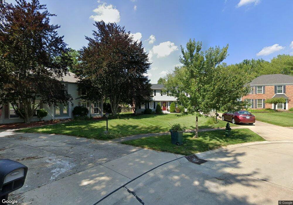
17159 Penny Pines Cir Strongsville, OH 44136
Estimated Value: $356,308 - $387,000
4
Beds
3
Baths
2,194
Sq Ft
$170/Sq Ft
Est. Value
About This Home
This home is located at 17159 Penny Pines Cir, Strongsville, OH 44136 and is currently estimated at $372,327, approximately $169 per square foot. 17159 Penny Pines Cir is a home located in Cuyahoga County with nearby schools including Strongsville High School.
Ownership History
Date
Name
Owned For
Owner Type
Purchase Details
Closed on
Apr 11, 2006
Sold by
Zupko Michael J and Zupko Linda A
Bought by
Burdorff John D and Burdorff Julie M
Current Estimated Value
Home Financials for this Owner
Home Financials are based on the most recent Mortgage that was taken out on this home.
Original Mortgage
$31,600
Outstanding Balance
$18,222
Interest Rate
6.42%
Mortgage Type
Credit Line Revolving
Estimated Equity
$354,105
Purchase Details
Closed on
Aug 21, 2003
Sold by
Zupko Michael J and Zupko Linda A
Bought by
Zupko Michael J and Zupko Linda A
Purchase Details
Closed on
Jun 30, 1977
Bought by
Zupko Michael J
Purchase Details
Closed on
Jan 1, 1977
Bought by
Sunshine Bldg Co
Create a Home Valuation Report for This Property
The Home Valuation Report is an in-depth analysis detailing your home's value as well as a comparison with similar homes in the area
Home Values in the Area
Average Home Value in this Area
Purchase History
| Date | Buyer | Sale Price | Title Company |
|---|---|---|---|
| Burdorff John D | $207,500 | Gateway Title Agency | |
| Zupko Michael J | -- | -- | |
| Zupko Michael J | $68,300 | -- | |
| Sunshine Bldg Co | -- | -- |
Source: Public Records
Mortgage History
| Date | Status | Borrower | Loan Amount |
|---|---|---|---|
| Open | Burdorff John D | $31,600 | |
| Open | Burdorff John D | $155,000 |
Source: Public Records
Tax History Compared to Growth
Tax History
| Year | Tax Paid | Tax Assessment Tax Assessment Total Assessment is a certain percentage of the fair market value that is determined by local assessors to be the total taxable value of land and additions on the property. | Land | Improvement |
|---|---|---|---|---|
| 2024 | $5,413 | $115,290 | $17,500 | $97,790 |
| 2023 | $5,679 | $90,690 | $17,500 | $73,190 |
| 2022 | $5,637 | $90,690 | $17,500 | $73,190 |
| 2021 | $5,593 | $90,690 | $17,500 | $73,190 |
| 2020 | $5,182 | $74,340 | $14,350 | $59,990 |
| 2019 | $5,030 | $212,400 | $41,000 | $171,400 |
| 2018 | $4,626 | $74,340 | $14,350 | $59,990 |
| 2017 | $4,774 | $71,970 | $11,380 | $60,590 |
| 2016 | $4,736 | $71,970 | $11,380 | $60,590 |
| 2015 | $4,803 | $71,970 | $11,380 | $60,590 |
| 2014 | $4,803 | $71,970 | $11,380 | $60,590 |
Source: Public Records
Map
Nearby Homes
- 16486 S Red Rock Dr
- 17159 Turkey Meadow Ln
- 17130 Golden Star Dr
- 17682 Drake Rd
- 17024 Bear Creek Ln
- 18229 Howe Rd
- 16650 Lanier Ave
- 16711 Beech Cir
- 17934 Cambridge Oval
- 18294 Drake Rd
- 18411 Yorktown Oval
- 16450 Howe Rd
- 3550 Boston Rd
- 17069 Partridge Dr
- 18848 Pearl Rd
- 15604-REAR Boston Rd
- 19694 Benbow Rd
- 14985 Camden Cir
- 19740 Benbow Rd
- 18162 Fawn Cir
- 17163 Penny Pines Cir
- 17154 Penny Pines Cir
- 16555 S Red Rock Dr
- 16551 S Red Rock Dr
- 17167 Penny Pines Cir
- 16544 Pepper Grass Cir
- 16547 S Red Rock Dr
- 16548 Pepper Grass Cir
- 16558 S Red Rock Dr
- 17156 Penny Pines Cir
- 17160 Penny Pines Cir
- 17171 Penny Pines Cir
- 16543 S Red Rock Dr
- 16540 Pepper Grass Cir
- 16554 N Red Rock Dr
- 17164 Penny Pines Cir
- 16547 Pepper Grass Cir
- 16539 S Red Rock Dr
- 17175 Penny Pines Cir
- 18085 Winchester Ct