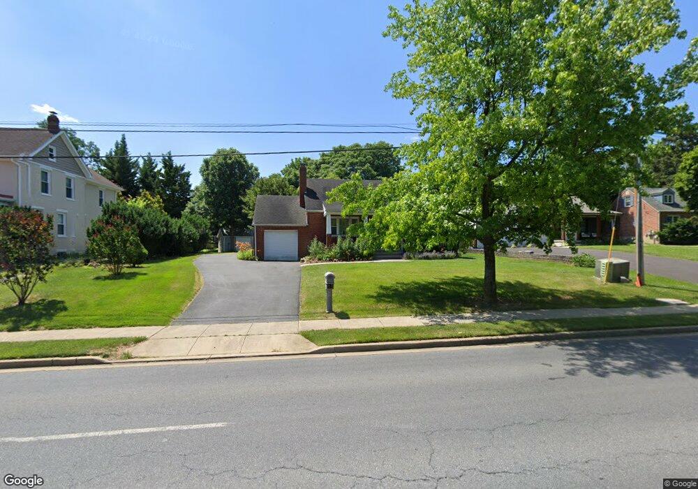
1718 Shookstown Rd Frederick, MD 21702
Taskers Chance NeighborhoodEstimated Value: $347,311 - $388,000
--
Bed
1
Bath
952
Sq Ft
$387/Sq Ft
Est. Value
About This Home
This home is located at 1718 Shookstown Rd, Frederick, MD 21702 and is currently estimated at $368,828, approximately $387 per square foot. 1718 Shookstown Rd is a home located in Frederick County with nearby schools including Butterfly Ridge Elementary School, Monocacy Middle School, and Gov. Thomas Johnson High School.
Ownership History
Date
Name
Owned For
Owner Type
Purchase Details
Closed on
May 13, 2004
Sold by
Cooke Kenneth O and Cooke Audrey W
Bought by
Cooke Cynthia L
Current Estimated Value
Purchase Details
Closed on
Oct 4, 2001
Sold by
Swann Mary C
Bought by
Cooke Kenneth O and Cooke Audrey W
Purchase Details
Closed on
Dec 10, 1997
Sold by
Zeiler Joseph Dean
Bought by
Swann Mary C
Create a Home Valuation Report for This Property
The Home Valuation Report is an in-depth analysis detailing your home's value as well as a comparison with similar homes in the area
Home Values in the Area
Average Home Value in this Area
Purchase History
| Date | Buyer | Sale Price | Title Company |
|---|---|---|---|
| Cooke Cynthia L | $190,000 | -- | |
| Cooke Kenneth O | $118,800 | -- | |
| Swann Mary C | $110,000 | -- |
Source: Public Records
Mortgage History
| Date | Status | Borrower | Loan Amount |
|---|---|---|---|
| Closed | Swann Mary C | -- |
Source: Public Records
Tax History Compared to Growth
Tax History
| Year | Tax Paid | Tax Assessment Tax Assessment Total Assessment is a certain percentage of the fair market value that is determined by local assessors to be the total taxable value of land and additions on the property. | Land | Improvement |
|---|---|---|---|---|
| 2025 | $5,031 | $295,500 | $107,800 | $187,700 |
| 2024 | $5,031 | $269,700 | $0 | $0 |
| 2023 | $4,431 | $243,900 | $0 | $0 |
| 2022 | $3,958 | $218,100 | $81,100 | $137,000 |
| 2021 | $3,715 | $211,567 | $0 | $0 |
| 2020 | $3,715 | $205,033 | $0 | $0 |
| 2019 | $3,598 | $198,500 | $69,800 | $128,700 |
| 2018 | $3,629 | $198,500 | $69,800 | $128,700 |
| 2017 | $3,593 | $198,500 | $0 | $0 |
| 2016 | $3,189 | $202,100 | $0 | $0 |
| 2015 | $3,189 | $202,100 | $0 | $0 |
| 2014 | $3,189 | $202,100 | $0 | $0 |
Source: Public Records
Map
Nearby Homes
- 1899 Shookstown Rd
- 1897 Shookstown Rd
- 1895 Shookstown Rd
- 227 Savage Rd
- 1891 Shookstown Rd
- 1889 Shookstown Rd
- 1887 Shookstown Rd
- 1885 Shookstown Rd
- 1883 Shookstown Rd
- 1881 Shookstown Rd
- 1879 Shookstown Rd
- 1204 Conewago Dr
- 163 Heathfield Dr
- 124 Penwick Cir
- 1003 Lavenport Way
- 203 Lake Coventry Dr
- 111 Cavenrock Ct
- 616 Gillespie Dr
- 120 Burgess Hill Way Unit 207
- 1223 Palladian Way
- 1714 Shookstown Rd
- 1720 Shookstown Rd
- 1722 Shookstown Rd
- 1726 Shookstown Rd
- 1033 Bexhill Dr
- 1728 Shookstown Rd
- 1031 Bexhill Dr
- 1035 Bexhill Dr
- 1724 Shookstown Rd
- 1029 Bexhill Dr
- 234 Thames Dr
- 236 Thames Dr
- 238 Thames Dr
- 1027 Bexhill Dr
- 1032 Bexhill Dr
- 240 Thames Dr
- 242 Thames Dr
- 1025 Bexhill Dr
- 1030 Bexhill Dr
- 1026 Bexhill Dr