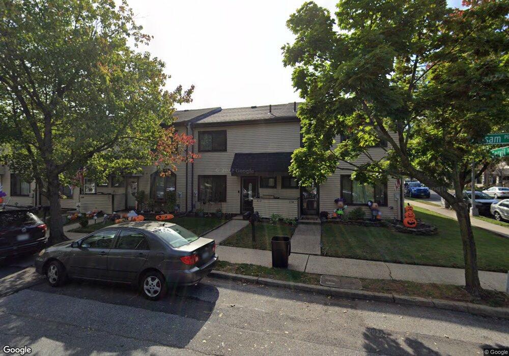
172 Balsam Place Staten Island, NY 10309
Rossville NeighborhoodEstimated Value: $520,000 - $572,000
3
Beds
2
Baths
1,088
Sq Ft
$501/Sq Ft
Est. Value
About This Home
This home is located at 172 Balsam Place, Staten Island, NY 10309 and is currently estimated at $544,753, approximately $500 per square foot. 172 Balsam Place is a home located in Richmond County with nearby schools including P.S. 56 - The Louis Desario School, Is 34 Tottenville, and Tottenville High School.
Ownership History
Date
Name
Owned For
Owner Type
Purchase Details
Closed on
Jul 31, 2013
Sold by
Davila Michael C and Davila Rose Marie
Bought by
Davila Michael C and Davila Rose Marie
Current Estimated Value
Purchase Details
Closed on
Jul 13, 2010
Sold by
Davila Rose Marie
Bought by
Davila Michael C
Purchase Details
Closed on
Aug 14, 1997
Sold by
Cohen Michael and Cohen Michele
Bought by
Davila Rose Marie
Create a Home Valuation Report for This Property
The Home Valuation Report is an in-depth analysis detailing your home's value as well as a comparison with similar homes in the area
Home Values in the Area
Average Home Value in this Area
Purchase History
| Date | Buyer | Sale Price | Title Company |
|---|---|---|---|
| Davila Michael C | -- | Access Title Ins Agency Inc | |
| Davila Michael C | -- | Access Title Ins Agency Inc | |
| Davila Rose Marie | $110,000 | Chicago Title Insurance Co |
Source: Public Records
Tax History Compared to Growth
Tax History
| Year | Tax Paid | Tax Assessment Tax Assessment Total Assessment is a certain percentage of the fair market value that is determined by local assessors to be the total taxable value of land and additions on the property. | Land | Improvement |
|---|---|---|---|---|
| 2025 | $3,849 | $31,200 | $3,814 | $27,386 |
| 2024 | $3,861 | $28,680 | $3,915 | $24,765 |
| 2023 | $3,892 | $20,563 | $3,669 | $16,894 |
| 2022 | $3,787 | $27,180 | $5,460 | $21,720 |
| 2021 | $3,749 | $22,500 | $5,460 | $17,040 |
| 2020 | $3,549 | $21,780 | $5,460 | $16,320 |
| 2019 | $3,292 | $21,480 | $5,460 | $16,020 |
| 2018 | $3,196 | $17,136 | $4,368 | $12,768 |
| 2017 | $3,167 | $17,006 | $4,525 | $12,481 |
| 2016 | $2,897 | $16,044 | $4,650 | $11,394 |
| 2015 | $2,435 | $15,136 | $4,022 | $11,114 |
| 2014 | $2,435 | $14,280 | $4,560 | $9,720 |
Source: Public Records
Map
Nearby Homes
- 28 Berry Ct Unit 576
- 24 Berry Ct Unit 574
- 132 Gervil St Unit 2ndFl
- 132 Gervil St Unit 2fl
- 85 Cypress Loop
- 87 Cypress Loop Unit 243
- 62 Arrowood Ct Unit 601
- 27 Berry Ct Unit 565
- 5 Wirt Ave
- 549 Correll Ave Unit 29
- 591 Correll Ave Unit 146
- 38 Cypress Loop
- 39 Selkirk St
- 45 Redwood Loop
- 22 Charleston Ave Unit 168
- 39 Hemlock Ct Unit 152
- 37 Charleston Ave
- 76 Lucille Ave
- 230 Gervil St
- 739 Maguire Ave
- 170 Balsam Place
- 174 Balsam Place
- 168 Balsam Place
- 166 Balsam Place
- 166 Balsam Place
- 164 Balsam Place
- 61 Locust Ct
- 59 Locust Ct
- 63 Locust Ct
- 57 Locust Ct
- 162 Balsam Place
- 55 Locust Ct
- 194 Balsam Place
- 160 Balsam Place
- 53 Locust Ct
- 51 Locust Ct
- 158 Balsam Place
- 196 Balsam Place
- 196 Balsam Place Unit 1
- 49 Locust Ct