172 Country View Ln Ararat, NC 27007
Estimated Value: $228,000 - $440,000
3
Beds
2
Baths
1,996
Sq Ft
$182/Sq Ft
Est. Value
About This Home
This home is located at 172 Country View Ln, Ararat, NC 27007 and is currently estimated at $362,954, approximately $181 per square foot. 172 Country View Ln is a home with nearby schools including Shoals Elementary School, Pilot Mountain Middle School, and East Surry High School.
Ownership History
Date
Name
Owned For
Owner Type
Purchase Details
Closed on
Sep 7, 2017
Sold by
Saunders Randy G
Bought by
Saunders Charlotte P
Current Estimated Value
Purchase Details
Closed on
Sep 15, 2009
Sold by
Wilmington Trust Co
Bought by
Saunders Randy G and Saunders Charlotte P
Home Financials for this Owner
Home Financials are based on the most recent Mortgage that was taken out on this home.
Original Mortgage
$156,000
Interest Rate
5.11%
Mortgage Type
New Conventional
Create a Home Valuation Report for This Property
The Home Valuation Report is an in-depth analysis detailing your home's value as well as a comparison with similar homes in the area
Home Values in the Area
Average Home Value in this Area
Purchase History
| Date | Buyer | Sale Price | Title Company |
|---|---|---|---|
| Saunders Charlotte P | -- | None Available | |
| Saunders Randy G | $198,000 | None Available |
Source: Public Records
Mortgage History
| Date | Status | Borrower | Loan Amount |
|---|---|---|---|
| Closed | Saunders Randy G | $156,000 |
Source: Public Records
Tax History Compared to Growth
Tax History
| Year | Tax Paid | Tax Assessment Tax Assessment Total Assessment is a certain percentage of the fair market value that is determined by local assessors to be the total taxable value of land and additions on the property. | Land | Improvement |
|---|---|---|---|---|
| 2025 | $1,679 | $288,700 | $71,160 | $217,540 |
| 2024 | $1,517 | $237,710 | $58,850 | $178,860 |
| 2023 | $1,490 | $237,710 | $58,850 | $178,860 |
| 2022 | $1,490 | $237,710 | $58,850 | $178,860 |
| 2021 | $1,517 | $237,710 | $58,850 | $178,860 |
| 2020 | $1,539 | $229,770 | $54,740 | $175,030 |
| 2019 | $1,536 | $229,770 | $0 | $0 |
| 2018 | $1,509 | $229,770 | $0 | $0 |
Source: Public Records
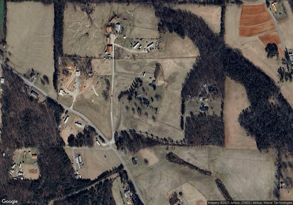
Map
Nearby Homes
- 235 Hunter Ridge Ln
- 250 High Meadow Trail
- 167 Buck Hollow Trail
- 112 Balcony Ln
- 156 Grace Way
- 123 Old Brintle St
- 000 Old Childress Ave
- 181 Fox Walk Ln
- 151 Siloam Rd
- 876 Rock Hill Church Rd
- x Green Meadow Ln Unit 5 Ac S
- 1398 Simpson Mill Rd
- 153 Chilton Rd
- 366 Sheep Farm Rd
- 106 Grants Home Trail
- 115 Stout Ln
- 278 Old Us Highway 52
- 129 Seabrook Rd
- 166 Coe Rd
- TBD Marion Dr
- 593 Little Mountain Church Rd
- 601 Little Mountain Church Rd
- 208 Charming View Ln
- 615 Little Mountain Church Rd
- 210 Country View Ln
- 688 Little Mountain Church Rd
- 688 Little Mountain Church Rd
- 481 Little Mountain Church Rd
- 672 Little Mountain Church Rd
- 695 Little Mountain Church Rd
- 439 Little Mountain Church Rd
- 233 Annie Kate Ln
- 440 Creek Ln
- 380 Radar Rd
- 438 Little Mountain Church Rd
- 822 Creed Rd
- 730 Little Mountain Church Rd
- 386 Radar Rd
- 740 Little Mountain Church Rd
- 330 Radar Rd