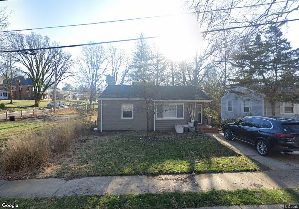
172 Hammel Ave Saint Louis, MO 63119
Estimated Value: $272,000 - $309,000
2
Beds
2
Baths
819
Sq Ft
$360/Sq Ft
Est. Value
About This Home
This home is located at 172 Hammel Ave, Saint Louis, MO 63119 and is currently estimated at $295,042, approximately $360 per square foot. 172 Hammel Ave is a home located in St. Louis County with nearby schools including Bristol Elementary School, Hixson Middle School, and Webster Groves High School.
Ownership History
Date
Name
Owned For
Owner Type
Purchase Details
Closed on
May 1, 2019
Sold by
Longsdon Sheila M
Bought by
Longsdon Sheila M
Current Estimated Value
Home Financials for this Owner
Home Financials are based on the most recent Mortgage that was taken out on this home.
Original Mortgage
$144,150
Outstanding Balance
$110,259
Interest Rate
4.2%
Mortgage Type
New Conventional
Estimated Equity
$184,783
Purchase Details
Closed on
Jun 7, 2002
Sold by
Lock Michael C and Lock Elizabeth Williams
Bought by
Longsdon Sheila M
Home Financials for this Owner
Home Financials are based on the most recent Mortgage that was taken out on this home.
Original Mortgage
$111,200
Interest Rate
5.62%
Purchase Details
Closed on
Jun 16, 1998
Sold by
Keeper Edith Christine G
Bought by
Lock Michael C and Williams Elizabeth A
Home Financials for this Owner
Home Financials are based on the most recent Mortgage that was taken out on this home.
Original Mortgage
$101,432
Interest Rate
7.21%
Mortgage Type
FHA
Create a Home Valuation Report for This Property
The Home Valuation Report is an in-depth analysis detailing your home's value as well as a comparison with similar homes in the area
Home Values in the Area
Average Home Value in this Area
Purchase History
| Date | Buyer | Sale Price | Title Company |
|---|---|---|---|
| Longsdon Sheila M | -- | Title Resources Inc | |
| Longsdon Sheila M | $139,000 | -- | |
| Lock Michael C | -- | Land Title Company |
Source: Public Records
Mortgage History
| Date | Status | Borrower | Loan Amount |
|---|---|---|---|
| Open | Longsdon Sheila M | $144,150 | |
| Closed | Longsdon Sheila M | $111,200 | |
| Previous Owner | Lock Michael C | $101,432 |
Source: Public Records
Tax History Compared to Growth
Tax History
| Year | Tax Paid | Tax Assessment Tax Assessment Total Assessment is a certain percentage of the fair market value that is determined by local assessors to be the total taxable value of land and additions on the property. | Land | Improvement |
|---|---|---|---|---|
| 2025 | $3,461 | $53,360 | $45,490 | $7,870 |
| 2024 | $3,461 | $49,480 | $37,890 | $11,590 |
| 2023 | $3,461 | $49,480 | $37,890 | $11,590 |
| 2022 | $2,308 | $30,570 | $27,280 | $3,290 |
| 2021 | $2,300 | $30,570 | $27,280 | $3,290 |
| 2020 | $2,587 | $32,110 | $27,280 | $4,830 |
| 2019 | $2,568 | $32,110 | $27,280 | $4,830 |
| 2018 | $2,503 | $27,780 | $21,240 | $6,540 |
| 2017 | $2,486 | $27,780 | $21,240 | $6,540 |
| 2016 | $2,235 | $23,900 | $15,140 | $8,760 |
| 2015 | $2,238 | $23,900 | $15,140 | $8,760 |
| 2014 | $2,155 | $22,390 | $9,790 | $12,600 |
Source: Public Records
Map
Nearby Homes
- 827 Yosemite Dr
- 541 W Kirkham Ave
- 426 W Kirkham Ave
- 529 Cyril Dr
- 404 W Kirkham Ave
- 9721 Greenwood Terrace
- 336 Madison Ave
- 1025 Glenmoor Ln
- 218 Euclid Ave
- 330 Lithia Ave
- 987 Dwyer Ave
- 144 S Rock Hill Rd
- 946 Dwyer Ave
- 200 Blackmer Place
- 931 Brownell Ave
- 65 Ridge Line Dr
- 1048 Martha Ln
- 423 Parkland Ave
- 1146 Kortwright Ave
- 1095 N Sappington Rd