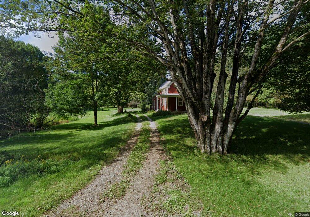
172 Hodsdon Rd Pownal, ME 04069
Estimated Value: $490,714 - $805,000
--
Bed
--
Bath
1,480
Sq Ft
$408/Sq Ft
Est. Value
About This Home
This home is located at 172 Hodsdon Rd, Pownal, ME 04069 and is currently estimated at $604,238, approximately $408 per square foot. 172 Hodsdon Rd is a home with nearby schools including Freeport High School.
Create a Home Valuation Report for This Property
The Home Valuation Report is an in-depth analysis detailing your home's value as well as a comparison with similar homes in the area
Home Values in the Area
Average Home Value in this Area
Tax History Compared to Growth
Tax History
| Year | Tax Paid | Tax Assessment Tax Assessment Total Assessment is a certain percentage of the fair market value that is determined by local assessors to be the total taxable value of land and additions on the property. | Land | Improvement |
|---|---|---|---|---|
| 2024 | $4,532 | $266,600 | $123,000 | $143,600 |
| 2023 | $4,188 | $222,200 | $102,500 | $119,700 |
| 2022 | $4,000 | $222,200 | $102,500 | $119,700 |
| 2021 | $4,000 | $222,200 | $102,500 | $119,700 |
| 2020 | $4,000 | $222,200 | $102,500 | $119,700 |
| 2019 | $4,066 | $222,200 | $102,500 | $119,700 |
| 2018 | $4,869 | $222,200 | $102,500 | $119,700 |
| 2017 | $3,385 | $222,200 | $102,500 | $119,700 |
| 2016 | $3,666 | $222,200 | $102,500 | $119,700 |
| 2015 | $2,818 | $83,500 | $24,000 | $59,500 |
| 2014 | $2,881 | $83,500 | $24,000 | $59,500 |
| 2013 | $2,902 | $83,500 | $24,000 | $59,500 |
Source: Public Records
Map
Nearby Homes
- 162 Merrill Rd
- 31 Sequoia Dr
- 15 Sequoia Dr
- 247 Ledge Rd
- 118 Royal Rd
- 238 Hallowell Rd
- 304 Pownal Rd
- 241 Bluff Rd Unit 4
- 203 Bluff Rd Unit 13
- 393 E Main St
- 4 Harper's Trail
- 26 Harvest Ridge Rd Unit 24
- 44 Ellen Cir
- 15 Percy St
- 10 Durham Rd
- 1612 U S Route 1
- 395 New Gloucester Rd
- 25 Meadowbrook Ln
- 149 E Main St Unit 7
- 42 Durham Rd