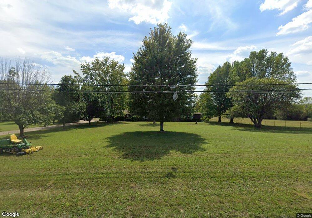
17202 Highway 64 Lebanon, MO 65536
Estimated Value: $314,103 - $393,000
3
Beds
3
Baths
2,537
Sq Ft
$139/Sq Ft
Est. Value
About This Home
This home is located at 17202 Highway 64, Lebanon, MO 65536 and is currently estimated at $352,701, approximately $139 per square foot. 17202 Highway 64 is a home located in Laclede County with nearby schools including Joel E. Barber Elementary School.
Ownership History
Date
Name
Owned For
Owner Type
Purchase Details
Closed on
Sep 7, 2018
Sold by
Danny Parnell
Bought by
Wynn Brad and Wynn Myra
Current Estimated Value
Home Financials for this Owner
Home Financials are based on the most recent Mortgage that was taken out on this home.
Original Mortgage
$51,000
Outstanding Balance
$44,422
Interest Rate
4.54%
Estimated Equity
$308,279
Purchase Details
Closed on
Aug 27, 2010
Sold by
Federal National Mortgage Association
Bought by
Parnell Dany and Parnell Judy
Purchase Details
Closed on
Apr 12, 2010
Sold by
Bitney Diane
Bought by
Fannie Mae
Create a Home Valuation Report for This Property
The Home Valuation Report is an in-depth analysis detailing your home's value as well as a comparison with similar homes in the area
Home Values in the Area
Average Home Value in this Area
Purchase History
| Date | Buyer | Sale Price | Title Company |
|---|---|---|---|
| Wynn Brad | -- | -- | |
| Parnell Dany | -- | None Available | |
| Fannie Mae | $177,756 | None Available |
Source: Public Records
Mortgage History
| Date | Status | Borrower | Loan Amount |
|---|---|---|---|
| Open | Wynn Brad | $51,000 | |
| Closed | Wynn Brad | -- |
Source: Public Records
Tax History Compared to Growth
Tax History
| Year | Tax Paid | Tax Assessment Tax Assessment Total Assessment is a certain percentage of the fair market value that is determined by local assessors to be the total taxable value of land and additions on the property. | Land | Improvement |
|---|---|---|---|---|
| 2025 | $1,006 | $24,650 | $0 | $0 |
| 2024 | $1,006 | $21,800 | $0 | $0 |
| 2023 | $1,043 | $21,800 | $0 | $0 |
| 2022 | $956 | $21,800 | $0 | $0 |
| 2021 | $1,020 | $21,888 | $1,368 | $20,520 |
| 2020 | $1,027 | $21,888 | $1,368 | $20,520 |
| 2019 | $1,037 | $21,800 | $1,280 | $20,520 |
| 2018 | $985 | $21,820 | $1,300 | $20,520 |
| 2017 | $992 | $21,820 | $0 | $0 |
| 2016 | $992 | $21,820 | $0 | $0 |
| 2015 | $992 | $21,820 | $0 | $0 |
| 2014 | $992 | $21,820 | $0 | $0 |
| 2013 | -- | $21,820 | $0 | $0 |
Source: Public Records
Map
Nearby Homes
- 16525 Finch Rd
- 000 Gateway Rd
- 23119 Oneida Dr
- 18826 Highway 64
- 1040 Daytona Dr
- 1491 Brice St
- 274 Cornelison St
- 25611 Open Ridge Ln
- 708 Herndon Rd
- 175 Walser St
- 25670 Open Ridge Ln
- 1520 Fairfield Dr
- 1250 N Jefferson Ave
- TBD Honeysuckle Cir
- 105 S King St
- 218 S King St
- 15944 Highway Ww
- 23315 Marvel Dr
- 23350 Marvel Dr
- 605 Hunters Creek Dr
- 17202 Highway 64
- 17226 Highway 64
- 17300 Highway 64
- 24480 Neosho Dr
- 24552 Highway Aa
- 24570 Highway Aa
- 24570 Highway Aa
- 24570 Highway Aa
- 24570 Highway Aa
- 24531 Highway Aa
- 24531 Highway Aa
- 16986 Cannon St
- 24611 Highway Aa
- 16953 Cannon St
- 16998 Kneedler St
- 16969 Highway 64
- 16969 Missouri 64
- 16938 Cannon St
- 16 Cannon St