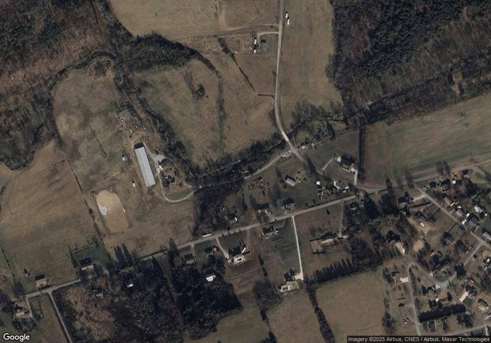
1723 Witt Rd White Pine, TN 37890
Estimated Value: $121,729 - $243,000
--
Bed
1
Bath
924
Sq Ft
$202/Sq Ft
Est. Value
About This Home
This home is located at 1723 Witt Rd, White Pine, TN 37890 and is currently estimated at $186,432, approximately $201 per square foot. 1723 Witt Rd is a home located in Jefferson County with nearby schools including Cornerstone Christian Academy and Lakeway Christian Academy.
Ownership History
Date
Name
Owned For
Owner Type
Purchase Details
Closed on
Jul 30, 1999
Sold by
Martha Buell
Bought by
Billy Parvin
Current Estimated Value
Home Financials for this Owner
Home Financials are based on the most recent Mortgage that was taken out on this home.
Original Mortgage
$78,634
Outstanding Balance
$22,614
Interest Rate
7.66%
Estimated Equity
$163,818
Purchase Details
Closed on
Mar 12, 1999
Sold by
Larry Holt
Bought by
Martha Buell
Purchase Details
Closed on
Jun 2, 1998
Sold by
Brady Bessie L
Bought by
Larry Holt
Purchase Details
Closed on
Jan 16, 1997
Sold by
Brady Bessie L
Bought by
Hobert Smith
Purchase Details
Closed on
Dec 3, 1975
Bought by
Brady Bessie L
Create a Home Valuation Report for This Property
The Home Valuation Report is an in-depth analysis detailing your home's value as well as a comparison with similar homes in the area
Home Values in the Area
Average Home Value in this Area
Purchase History
| Date | Buyer | Sale Price | Title Company |
|---|---|---|---|
| Billy Parvin | $12,500 | -- | |
| Martha Buell | $20,000 | -- | |
| Larry Holt | $37,000 | -- | |
| Hobert Smith | $50,000 | -- | |
| Brady Bessie L | -- | -- |
Source: Public Records
Mortgage History
| Date | Status | Borrower | Loan Amount |
|---|---|---|---|
| Open | Brady Bessie L | $78,634 |
Source: Public Records
Tax History Compared to Growth
Tax History
| Year | Tax Paid | Tax Assessment Tax Assessment Total Assessment is a certain percentage of the fair market value that is determined by local assessors to be the total taxable value of land and additions on the property. | Land | Improvement |
|---|---|---|---|---|
| 2025 | $201 | $3,175 | $3,175 | -- |
| 2023 | $201 | $8,725 | $0 | $0 |
| 2022 | $191 | $8,725 | $2,350 | $6,375 |
| 2021 | $191 | $8,725 | $2,350 | $6,375 |
| 2020 | $191 | $8,725 | $2,350 | $6,375 |
| 2019 | $191 | $8,725 | $2,350 | $6,375 |
| 2018 | $176 | $7,475 | $1,900 | $5,575 |
| 2017 | $176 | $7,475 | $1,900 | $5,575 |
| 2016 | $176 | $7,475 | $1,900 | $5,575 |
| 2015 | $176 | $7,475 | $1,900 | $5,575 |
| 2014 | $176 | $7,475 | $1,900 | $5,575 |
Source: Public Records
Map
Nearby Homes
- 1506 Moyers St
- 1520 State St
- Lot 69 Vista Ridge Dr
- Lot 26 Vista Ridge Dr
- Lot 29 Vista Ridge Dr
- Lot 71 Vista Ridge Dr
- Lot 72 Vista Ridge Dr
- 3017 Hardy Rd
- 1462 Main St
- 1605 College St
- 1954 Main St
- Lot 76 Meadow Rose Dr
- Lot 39 Meadow Vista Way
- Lot 70 Meadow Vista Way
- Lot 79 Meadow Vista Way
- Lot 56 Meadow Vista Way
- Lot 36 Meadow Vista Way
- Lot 09 Meadow Vista Way
- Lot 84 Meadow Vista Way
- Lot 34 Meadow Vista Way
