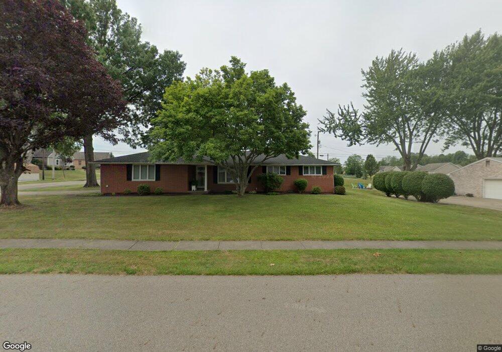
1728 Edmar St Louisville, OH 44641
Estimated Value: $220,066 - $269,000
3
Beds
2
Baths
1,503
Sq Ft
$167/Sq Ft
Est. Value
About This Home
This home is located at 1728 Edmar St, Louisville, OH 44641 and is currently estimated at $250,767, approximately $166 per square foot. 1728 Edmar St is a home located in Stark County with nearby schools including Louisville High School and St. Thomas Aquinas High School & Middle School.
Ownership History
Date
Name
Owned For
Owner Type
Purchase Details
Closed on
Sep 30, 2011
Sold by
Pester Timothy J and Pester Teresa J
Bought by
Morgan M Christine
Current Estimated Value
Purchase Details
Closed on
Dec 1, 2010
Sold by
Haren Teresa J
Bought by
Haren Teresa J and Pester Timothy J
Purchase Details
Closed on
Feb 23, 2010
Sold by
Haren Richard
Bought by
Haren Teresa J
Purchase Details
Closed on
Sep 29, 2005
Sold by
Antonacci Ursula J
Bought by
Haren Richard and Haren Teresa Jo
Create a Home Valuation Report for This Property
The Home Valuation Report is an in-depth analysis detailing your home's value as well as a comparison with similar homes in the area
Home Values in the Area
Average Home Value in this Area
Purchase History
| Date | Buyer | Sale Price | Title Company |
|---|---|---|---|
| Morgan M Christine | $123,000 | Attorney | |
| Haren Teresa J | -- | Attorney | |
| Haren Teresa J | -- | Attorney | |
| Haren Richard | $159,900 | -- |
Source: Public Records
Tax History Compared to Growth
Tax History
| Year | Tax Paid | Tax Assessment Tax Assessment Total Assessment is a certain percentage of the fair market value that is determined by local assessors to be the total taxable value of land and additions on the property. | Land | Improvement |
|---|---|---|---|---|
| 2025 | -- | $64,760 | $19,290 | $45,470 |
| 2024 | -- | $64,760 | $19,290 | $45,470 |
| 2023 | $1,939 | $54,290 | $18,200 | $36,090 |
| 2022 | $981 | $54,290 | $18,200 | $36,090 |
| 2021 | $1,968 | $54,290 | $18,200 | $36,090 |
| 2020 | $1,576 | $48,340 | $16,380 | $31,960 |
| 2019 | $1,583 | $50,370 | $16,380 | $33,990 |
| 2018 | $1,657 | $50,370 | $16,380 | $33,990 |
| 2017 | $1,495 | $44,980 | $14,390 | $30,590 |
| 2016 | $1,526 | $44,980 | $14,390 | $30,590 |
| 2015 | $1,530 | $44,980 | $14,390 | $30,590 |
| 2014 | $1,370 | $38,890 | $12,430 | $26,460 |
| 2013 | $688 | $38,890 | $12,430 | $26,460 |
Source: Public Records
Map
Nearby Homes
- 2110 Edmar St
- 1715 High St
- 1812 E Broad St
- 641 S Nickelplate St
- 908 Sand Lot Cir
- 3390 Meese Rd NE
- 520 S Silver St
- 308 Superior St
- 728 E Broad St
- 2015 E Main St
- 0 Michigan Blvd
- 510 S Bauman Ct
- 204 E Broad St
- 8225 Georgetown St
- 107 E Broad St
- 1702 View Pointe Ave
- 325 Lincoln Ave
- 1639 Horizon Dr
- 1170 Winding Ridge Ave
- 910 Crosswyck Cir
- 1718 Edmar St
- 1217 S Marion Ave
- 1804 Edmar St
- 1218 S Marion Ave
- 1731 Edmar St
- 1708 Edmar St
- 1719 Edmar St
- 1227 S Marion Ave
- 1805 Edmar St
- 1816 Edmar St
- 1709 Edmar St
- 1228 S Marion Ave
- 1638 Edmar St
- 1730 Opal St
- 1817 Edmar St
- 1237 S Marion Ave
- 1720 Opal St
- 1804 Opal St
- 1637 Edmar St
- 1635 Presidents Square Unit 48